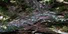
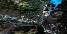
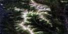
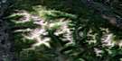
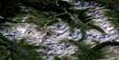
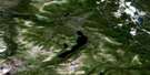
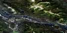
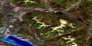
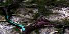
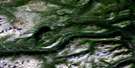
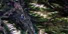
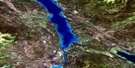
Carcross Satellite Image Map
Download Free Aerial Photo 105D02 at 1:50,000 scale
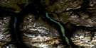
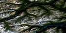
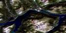
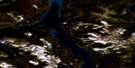
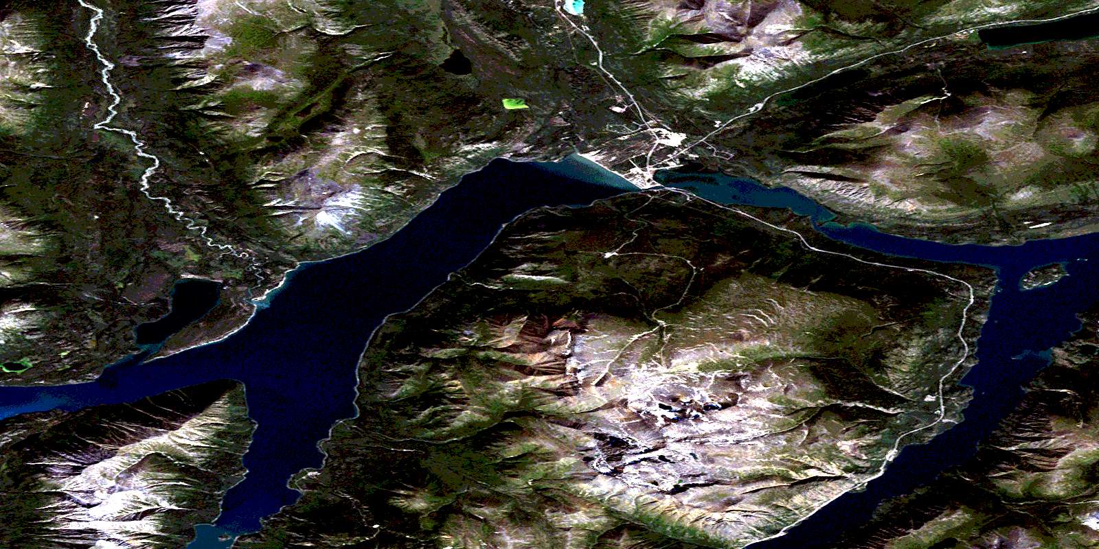
Carcross Satellite Imagery
To view this satellite map, mouse over the air photo on the right.
You can also download this satellite image map for free:
105D02 Carcross high-resolution satellite image map.
Maps for the Carcross aerial map sheet 105D02 at 1:50,000 scale are also available in these versions:
Carcross Surrounding Area Aerial Photo Maps
 |
 |
 |
 |
 |
 |
 |
 |
 |
 |
 |
 |
 |
 |
 |
 |
© Department of Natural Resources Canada. All rights reserved.
Carcross Gazetteer
The following places can be found on satellite image map 105D02 Carcross:
Carcross Satellite Image: Bays
Grayling BayMillhaven Bay
West Arm
Windy Arm
Carcross Satellite Image: Capes
Prejevalsky PointTen Mile Point
Carcross Satellite Image: Channels
Nàtàse HînCarcross Satellite Image: Indian Reserves
Carcross 4Carcross Satellite Image: Islands
Bove IslandCarcross Satellite Image: Lakes
Bennett LakeCrag Lake
Munroe Lake
Nares Lake
Old Lady Lake
Spirit Lake
Tagish Lake
Carcross Satellite Image: Mountains
Bennett MountainsBennett Range
Boundary Ranges
Brute Mountain
Caribou Mountain
Chaîne Côtière
Coast Mountains
Dail Peak
Dundalk Mountain
Escarpment Mountain
Finger Mountain
Gray Ridge
Knob Hill
Montana Mountain
Mount Dean
Mount Gray
Mount Matheson
Nares Mountain
Pyramid Mountain
Sugarloaf Hill
Surprise Mountain
Watson Ridge
White Range
Carcross Satellite Image: Plains
Yukon PlateauCarcross Satellite Image: Provinces
British ColumbiaColombie-Britannique
Carcross Satellite Image: Rivers
Big Thing CreekCarls Creek
Dundalk Creek
Knob Creek
Lime Creek
McDonald Creek
Millhaven Creek
Montana Creek
Nares River
Pooly Creek
Racine Creek
Ramshorn Creek
Stevens Creek
Wabona Creek
Watson River
Wheaton River
Wynton Creek
Carcross Satellite Image: Territory
YukonCarcross Satellite Image: Unincorporated areas
CarcrossConrad
Dundalk
Watson
Carcross Satellite Image: Valleys
Copper GulchCorwin Valley
North Canyon
Pooly Canyon
© Department of Natural Resources Canada. All rights reserved.
105D Related Maps:
105D Whitehorse105D01 Jubilee Mountain
105D02 Carcross
105D03 Fenwick Creek
105D04 Takhini Lake
105D05 Rose Lake
105D06 Alligator Lake
105D07 Robinson
105D08 Tagish
105D09 Michie Creek
105D10 Macrae
105D11 Whitehorse
105D12 Mount Arkell
105D13 Thirty Seven Mile Creek
105D14 Upper Laberge
105D15 Joe Mountain
105D16 Mount M'Clintock
