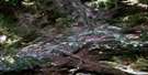
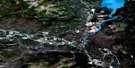
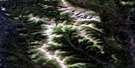
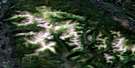
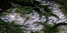
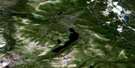
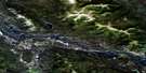
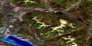
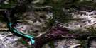
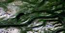
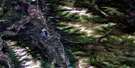
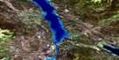
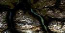
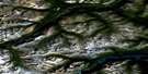
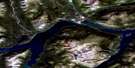
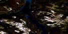
Thirty Seven Mile Creek Satellite Image Map
Download Free Aerial Photo 105D13 at 1:50,000 scale
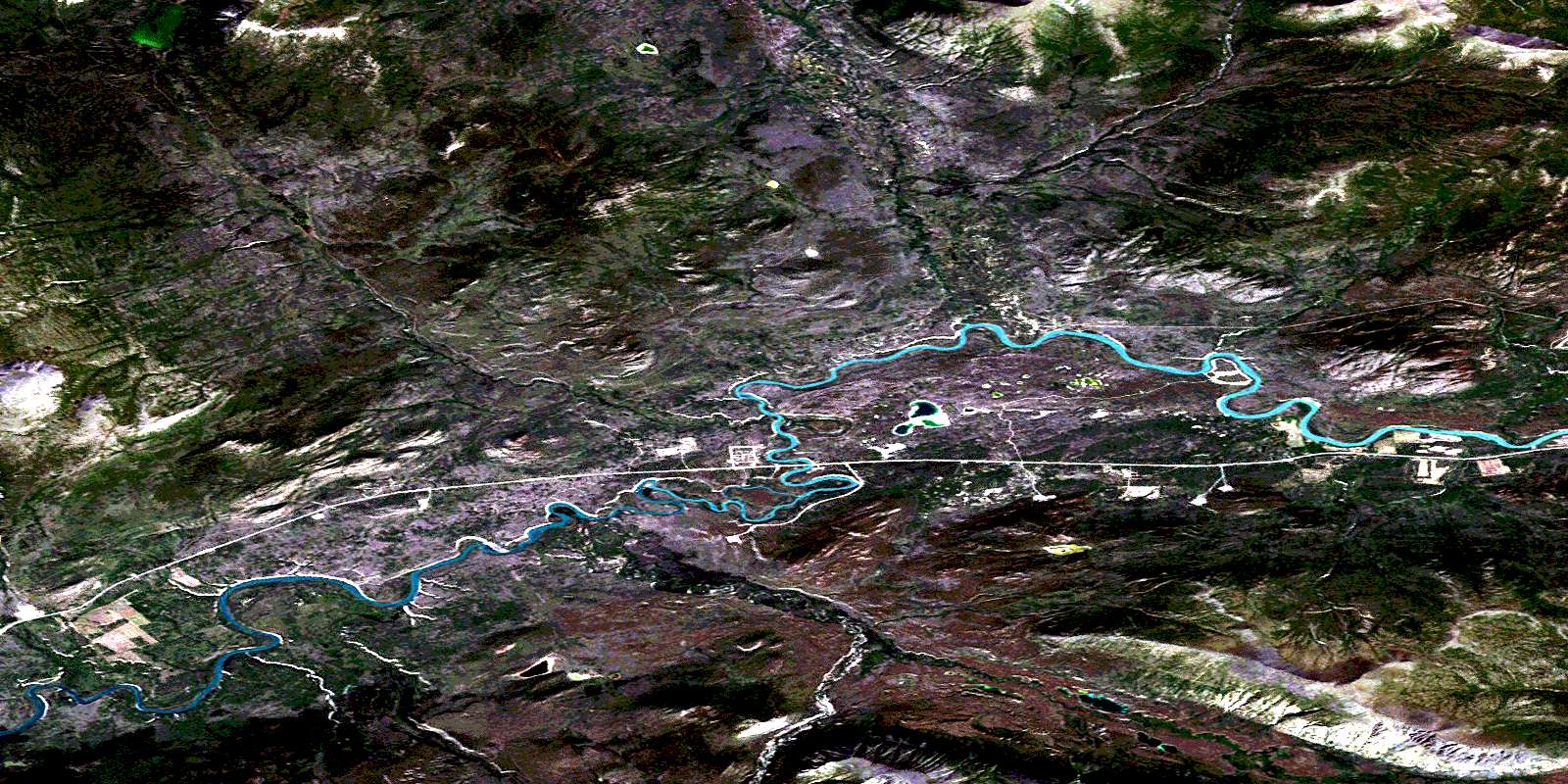
Thirty Seven Mile Creek Satellite Imagery
To view this satellite map, mouse over the air photo on the right.
You can also download this satellite image map for free:
105D13 Thirty Seven Mile Creek high-resolution satellite image map.
Maps for the Thirty Seven Mile Creek aerial map sheet 105D13 at 1:50,000 scale are also available in these versions:
Thirty Seven Mile Creek Surrounding Area Aerial Photo Maps
 |
 |
 |
 |
 |
 |
 |
 |
 |
 |
 |
 |
 |
 |
 |
 |
© Department of Natural Resources Canada. All rights reserved.
Thirty Seven Mile Creek Gazetteer
The following places can be found on satellite image map 105D13 Thirty Seven Mile Creek:
Thirty Seven Mile Creek Satellite Image: Hamlets
Ibex ValleyThirty Seven Mile Creek Satellite Image: Mountains
Boundary RangesChaîne Côtière
Coast Mountains
Miners Range
Sifton Mountains
Sifton Range
Thirty Seven Mile Creek Satellite Image: Plains
Yukon PlateauThirty Seven Mile Creek Satellite Image: Rivers
Annie Ned CreekArkell Creek
Flat Creek
Ibex River
Klokhok River
Little River
Stony Creek
Stony Creek
Takhini River
Thirty-seven Mile Creek
Thirty Seven Mile Creek Satellite Image: Unincorporated areas
Little RiverStony Creek Camp
© Department of Natural Resources Canada. All rights reserved.
105D Related Maps:
105D Whitehorse105D01 Jubilee Mountain
105D02 Carcross
105D03 Fenwick Creek
105D04 Takhini Lake
105D05 Rose Lake
105D06 Alligator Lake
105D07 Robinson
105D08 Tagish
105D09 Michie Creek
105D10 Macrae
105D11 Whitehorse
105D12 Mount Arkell
105D13 Thirty Seven Mile Creek
105D14 Upper Laberge
105D15 Joe Mountain
105D16 Mount M'Clintock
