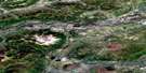
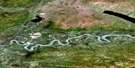
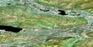
Nogold Creek Satellite Image Map
Download Free Aerial Photo 105M06 at 1:50,000 scale
Nogold Creek Satellite Imagery
To view this satellite map, mouse over the air photo on the right.
You can also download this satellite image map for free:
105M06 Nogold Creek high-resolution satellite image map.
Maps for the Nogold Creek aerial map sheet 105M06 at 1:50,000 scale are also available in these versions:
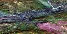
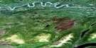
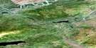
Nogold Creek Surrounding Area Aerial Photo Maps
 |
 |
 |
 |
 |
 |
 |
 |
 |
 |
 |
 |
 |
 |
 |
 |
© Department of Natural Resources Canada. All rights reserved.
Nogold Creek Gazetteer
The following places can be found on satellite image map 105M06 Nogold Creek:
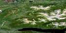
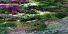
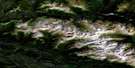
Nogold Creek Satellite Image: Mountains
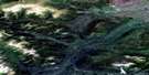
Two ButtesNogold Creek Satellite Image: Plains
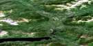
Nogold PlateauTalbot Plateau
Yukon Plateau
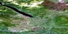
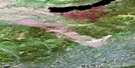
Nogold Creek Satellite Image: Rapids
Five Mile RapidThree Mile Rapid
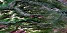
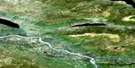
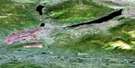
Nogold Creek Satellite Image: Rivers
Avalanche CreekFrancis Creek
Nogold Creek
Old Pass Creek
Stewart River
Two Buttes Creek
Nogold Creek Satellite Image: River features
Horseshoe Slough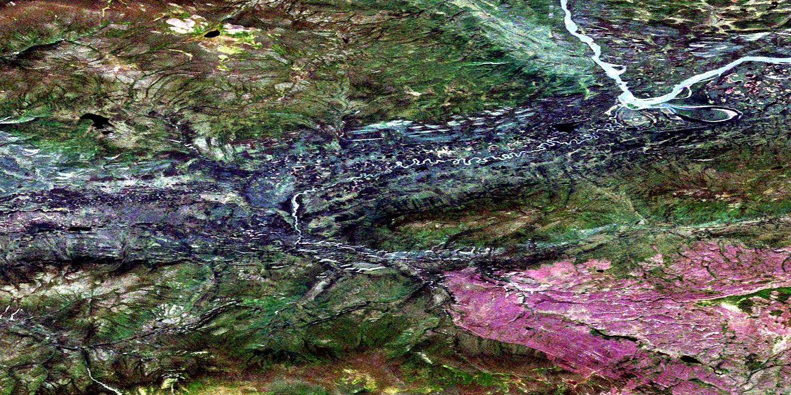
© Department of Natural Resources Canada. All rights reserved.
105M Related Maps:
105M Mayo105M01 Moose Lake
105M02 Clarke Hills
105M03 Sideslip Lake
105M04 Woodburn Lake
105M05 Francis Lake
105M06 Nogold Creek
105M07 Highland Lake
105M08 Canoe Creek
105M09 Edwards Lake
105M10 South Nelson Creek
105M11 Williamson Lake
105M12 Mayo
105M13 Mount Haldane
105M14 Keno Hill
105M15 Mayo Lake
105M16 Tiny Island Lake
