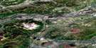
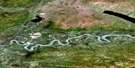
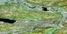
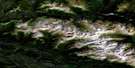
Woodburn Lake Satellite Image Map
Download Free Aerial Photo 105M04 at 1:50,000 scale
Woodburn Lake Satellite Imagery
To view this satellite map, mouse over the air photo on the right.
You can also download this satellite image map for free:
105M04 Woodburn Lake high-resolution satellite image map.
Maps for the Woodburn Lake aerial map sheet 105M04 at 1:50,000 scale are also available in these versions:
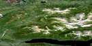
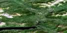
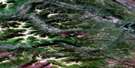
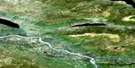
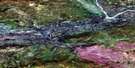
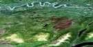
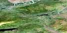
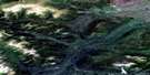
Woodburn Lake Surrounding Area Aerial Photo Maps
 |
 |
 |
 |
 |
 |
 |
 |
 |
 |
 |
 |
 |
 |
 |
 |
© Department of Natural Resources Canada. All rights reserved.
Woodburn Lake Gazetteer
The following places can be found on satellite image map 105M04 Woodburn Lake:
Woodburn Lake Satellite Image: Lakes
Woodburn LakeWoodburn Lake Satellite Image: Mountains
Black Ram PeakGrey Hunter Peak
Macmillan Mountains
Macmillan Range
McArthur Group
McArthur Range
Mount MacDonald
Mount Van Bibber
Woodburn Lake Satellite Image: Plains
Nogold PlateauYukon Plateau
Woodburn Lake Satellite Image: Rivers
Black Ram CreekCrooked Creek
Grey Hunter Creek
Hotspring Creek
Little Kalzas River
Nogold Creek
North Crooked Creek
South Crooked Creek
Woodburn Creek
Woodburn Lake Satellite Image: Valleys
Tintina Trench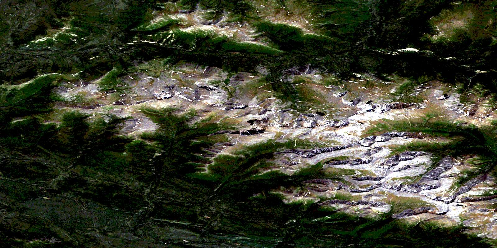
© Department of Natural Resources Canada. All rights reserved.
105M Related Maps:
105M Mayo105M01 Moose Lake
105M02 Clarke Hills
105M03 Sideslip Lake
105M04 Woodburn Lake
105M05 Francis Lake
105M06 Nogold Creek
105M07 Highland Lake
105M08 Canoe Creek
105M09 Edwards Lake
105M10 South Nelson Creek
105M11 Williamson Lake
105M12 Mayo
105M13 Mount Haldane
105M14 Keno Hill
105M15 Mayo Lake
105M16 Tiny Island Lake
