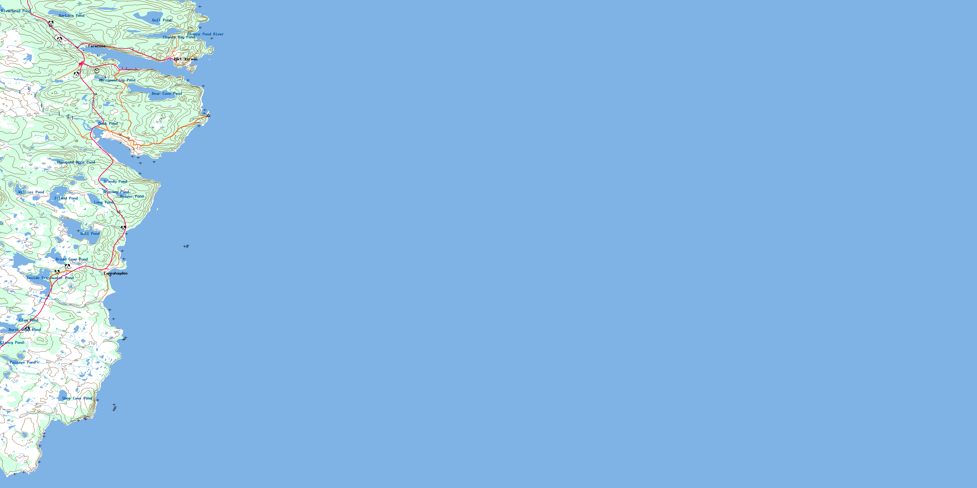
Renews Topo Map Online
Download Free Topo Map Sheet 001K15 at 1:50,000 scale
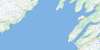
001K15 Renews Topo Map
To view this map, mouse over the map preview on the right.
You can also download this topo map for free:
001K15 Renews high-resolution topo map image.
Maps for the Renews topo map sheet 001K15 at 1:50,000 scale are also available in these versions:
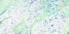
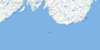
Renews Surrounding Area Topo Maps
 |
 |
 |
|
 |
 |
||
© Department of Natural Resources Canada. All rights reserved.
Renews Gazetteer
The following places can be found on topographic map sheet 001K15 Renews:
Renews Topo Map: Bays
Admiral's CoveAnthonys Gully
Aquaforte Harbour
Bald Head Cove
Ballard Cove
Bathing Cove
Bear Cove
Bear Cove
Blackhead Cove
Blacksmith
Buckleys Gut
Burnt Cove
Calves Cove
Cape Ballard Cove
Cappahayden Cove
Chance Bay
Chance Cove
Church Cove
Clear Cove
Coal Harbour
Dinns Cove
Doctors Rock Cove
Drifters Cove
Fermeuse Harbour
Frenchmans Cove
Frenchman's Cove
Funny Cove
Gallie Cove
Gallis Cove
Kingman's Cove
Lance Cove
Lawler Bay
Little Seal Cove
Lumley Cove
Mattys Cove
Murphys Cove
Port Gulch
Quinlans Cove
Renews Harbour
Roaches Cove
Round Cove
Sandy Cove
Sculpin Bay
Seal Cove
Sheeps Head Cove
Shoe Cove
Sunker Rock Cove
The Bight
The Holes
Trixes Cove
Watering Cove
Renews Topo Map: Beaches
O'Flahertys BeachWalshs Beach
Renews Topo Map: Capes
Avalon PeninsulaBald Head
Bear Cove Head
Bear Cove Point
Berry Head
Black Head
Black Head
Blow Me Down Head
Bluff Head
Bulls Head
Burnt Point
Cape Ballard
Chance Cove Head
Folly Point
Garrison Point
Horn Head
Morgans Point
North Point
Northern Head
Northern Head
Quinlans Head
Renews Head
Sculpin Point
Sheep's Head
Shoe Cove Head
Sleeper Point
Small Point
South Head
South Point
Steel Point
Traces Point
Renews Topo Map: Caves
Devils KitchenRenews Topo Map: Channels
Buttlands GutRenews Topo Map: Cliffs
The GarrisonRenews Topo Map: Islands
Gull IslandO'Tooles Island
Renews Island
Renews Topo Map: Lakes
Bear Cove PondBeaver Pond
Beaver Pond
Berths Pond
Black Duck Gully
Black Duck Pond
Brandy Pond
Broad Cove Pond
Broom Cove Pond
Burnt Wood Pond
Chance Bay Pond
Chance Pond
Clam Pond
Clancy Pond
Duck Pond
First Pond
Freshwater Pond
Grassey Pond
Grassy Pond
Gull Pond
Gull Pond
Gull Pond
Inside Freshwater Pond
Inside Pond
Island Pond
Long Pond
Long Pond
Ma Cummings Pond
Martins Pond
Merrymeeting Pond
Middle Pond
Passage Pond
River Head Pond
Riverhead Pond
Rocky Pond
Shoe Cove Pond
Third Pond
Thousand Acre Pond
Vender Pond
Willies Pond
Renews Topo Map: Mountains
Cape Ballard HillCoopers Hill
Coopers Hill
Devils Lookout
Graveyard Hill
High Mount
Joe Pillers Lookout
Midnight Hill
North Lookout
Old Womans Head
Old Womans Hill
Quinlans Hill
Southern Head Hill
The Bench
The Mount
White Hill
Renews Topo Map: Conservation areas
Chance Cove Provincial ParkRenews Topo Map: Rivers
Bear Cove RiverCappahayden Brook
Chance Pond River
Freshwater River
Gull Pond River
Kennedys River
Main River
Oates River
Old Woman's Brook
Renews River
Rossiters Brook
Shoe Cove River
Sweet River
Renews Topo Map: Undersea features
Johns RockNorthern Rock
Rendezvous Rock
Southern Rock
Renews Topo Map: Shoals
Anchor RockAquafort Rocks
Aquaforte Rocks
Bantam Banks
Bar Shoal
Bear Cove Rocks
Black Horse Rock
Bullhead Bantam
Clear Cove Rock
Fermeuse Bantam
High Rocks
Kettlebottom Rock
Mad Rock
Renews Bantam
Renews Rocks
Sculpin Rock
Shag Rock
Sunker Rock
The Bells of Chance Cove
Whaleback Rock
White Horse Rock
Renews Topo Map: Towns
FermeusePort Kirwan
Port Kirwin
Renews-Cappahayden
Renews Topo Map: Unincorporated areas
Admiral's CoveCappahayden
Fermeuse
Freshwater
Gripes Nest
Kingman's
North Side
Path End
Renews
Riverhead
Renews Topo Map: Low vegetation
Beaver Pond MarshCape Ballard Marshes
Gully Marsh
Lookout Marsh
Merrigan Meadow
Point Meadow
Shoe Cove Marshes
Thousand Acre Marsh
© Department of Natural Resources Canada. All rights reserved.
