Sweet Bay Topo Map Online
Download Free Topo Map Sheet 002C05 at 1:50,000 scale
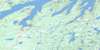
002C05 Sweet Bay Topo Map
To view this map, mouse over the map preview on the right.
You can also download this topo map for free:
002C05 Sweet Bay high-resolution topo map image.
Maps for the Sweet Bay topo map sheet 002C05 at 1:50,000 scale are also available in these versions:
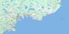
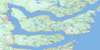
Sweet Bay Surrounding Area Topo Maps
 |
|||
 |
 |
||
 |
 |
||
 |
 |
 |
© Department of Natural Resources Canada. All rights reserved.
Sweet Bay Gazetteer
The following places can be found on topographic map sheet 002C05 Sweet Bay:
Sweet Bay Topo Map: Bays
Back CoveBear Cove
Bottom Cove
Bread Cove
British Harbour
Bryans Hole
Chain Rock Cove
Clode Sound
Dicks Cove
Dumpling Cove
Goose Bay
Great Chance Harbour
Holloway Cove
Indian Arm
Kate Harbour
Keefes Cove
Landers Cove
Little Harbour
Loders Cove
Long Tom Cove
Lovers Cove
Maiden Hair Cove
Matthew Cove
Milners Cove
Mosquito Cove
Northwest Arm
Nut Cove
Perry Cove
Powers Cove
Quintons Cove
Sandy Cove
Sattlings Cove
Southern Bay
Southwest Arm
Southwest Arm
Sweet Bay
The Saltons
White Rock Cove
Sweet Bay Topo Map: Capes
Blundons PointBreen Point
Cannings Cove Head
Connecting Point
Cutwater Head
Diamonds Point
Dividing Point
Fahey Point
Frys Point
Goose Head
Green Cove Point
Honeybun Point
James Head
Lodging Point
Man Point
Nolans Point
Old Dock Point
Olfords Point
Pinchers Point
Powers Cove Point
Sandy Point
Southward Head
Stares Point
Vey Point
Weeks Point
White Point
Sweet Bay Topo Map: Islands
Ashley Baker IslandHay Island
House Island
Hunt Island
Minchin Island
Mouse Island
Platter Island
Shag Island
Wolf Island
Woody Island
Sweet Bay Topo Map: Lakes
Big PondBlue Gull Pond
Bread Cove Pond
Chatman Ponds
Cross Pond
Dalton Pond
Dam Pond
Double Pond
Frys Pond
Grassy Cove Pond
Gull Pond
Half Mile Pond
Joe Whites Pond
Johnstons Pond
Juniper Ponds
Lady Pond
Loders Pond
Long Pond
Matthews Pond
Midway Pond
Mosquito Pond
Muddy Cove Pond
Muffler Pond
Northeast Pond
Northwest Pond
Oats Pond
Ocean Pond
Ochre Hill Ponds
Popes Harbour Pond
Powells Pond
Rocky Pond
Saddle Back Pond
Saltons Pond
Saltwater Pond
Sattlings Pond
Seal Cove Pond
Spar Pond
Trinity Pond
Sweet Bay Topo Map: Mountains
Bread Cove HillsIndian Lookout
Nut Hill
Ochre Pit Hill
Powder Cove Hill
Sweet Bay Topo Map: Conservation areas
Jiggin' Head Provincial ParkParc national du Canada Terra-Nova
Rattle Falls Provincial Park
Terra Nova National Park of Canada
Sweet Bay Topo Map: Rapids
The RattleSweet Bay Topo Map: Rivers
Bread Cove BrookDock Brook
Dungeon Brook
Grandfather Brook
Rattling Brook
Raymond Brook
Ryders Brook
Seven Pond Brook
Southeast Brook
Southern Bay River
Southwest Brook
Stag Brook
Strickland Pond Brook
Trouty River
Winter Brook
Sweet Bay Topo Map: River features
Chandler ReachSweet Bay Topo Map: Shoals
Shag RockSweet Bay Topo Map: Towns
MusgravetownSweet Bay Topo Map: Unincorporated areas
BloomfieldBlundons Siding
British Harbour
Brooklyn
Cannings Cove
Charleston
Jamestown
Lethbridge
Long Beach
Morleys Siding
New Country Siding
Plate Cove West
Portland
Princeton
Southern Bay
Summerville
Summerville - Princeton - Southern Bay
Sweet Bay
Winter Brook
Sweet Bay Topo Map: Villages
Canning's Cove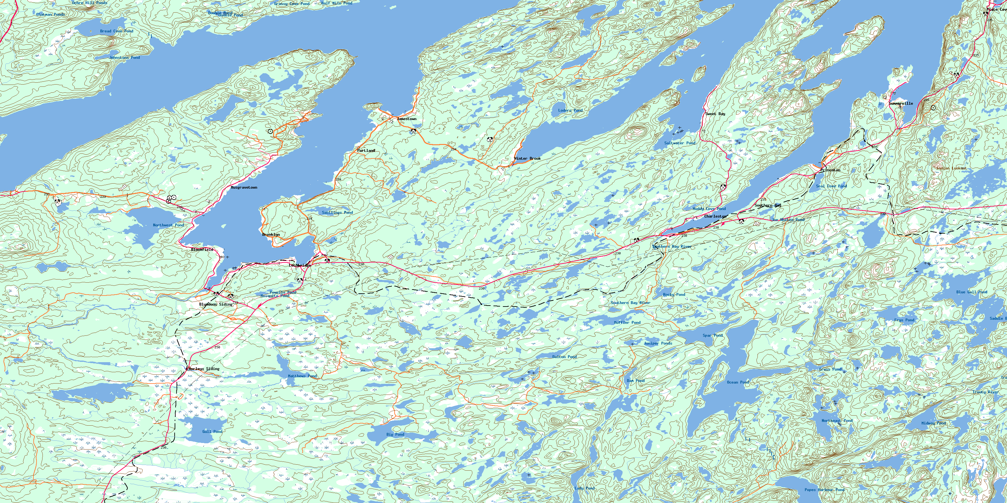
© Department of Natural Resources Canada. All rights reserved.
