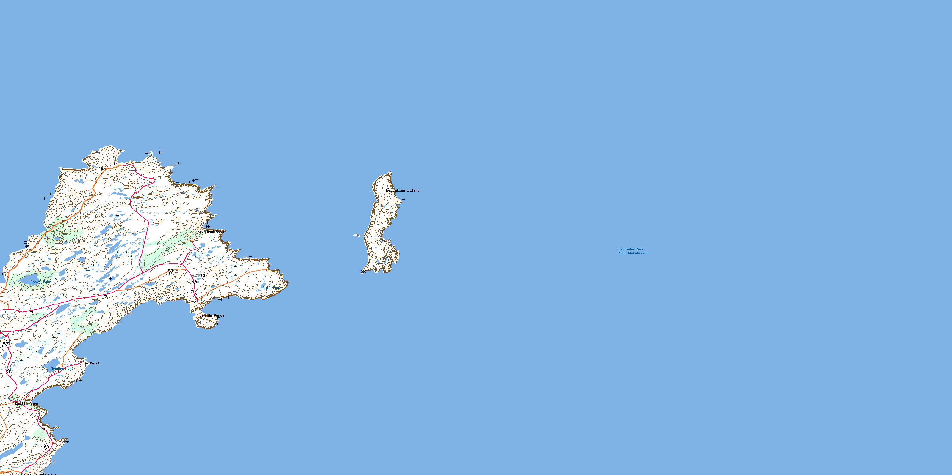
Bay De Verde Topo Map Online
Download Free Topo Map Sheet 002C02 at 1:50,000 scale
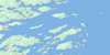
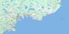
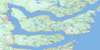
002C02 Bay De Verde Topo Map
To view this map, mouse over the map preview on the right.
You can also download this topo map for free:
002C02 Bay De Verde high-resolution topo map image.
Maps for the Bay De Verde topo map sheet 002C02 at 1:50,000 scale are also available in these versions:
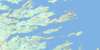
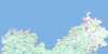
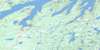
Bay De Verde Surrounding Area Topo Maps
 |
|||
 |
 |
||
 |
 |
||
 |
 |
 |
© Department of Natural Resources Canada. All rights reserved.
Bay De Verde Gazetteer
The following places can be found on topographic map sheet 002C02 Bay De Verde:
Bay De Verde Topo Map: Bays
BacksideBay de Verde
Bay de Verde Harbour
Big Gulch
Biscan Cove
Biscan Cove
Blackhead Bight
Blowin Hole
Broom Cove
Butter Gulch
Caplin Cove
Careys Hole
Churchill Gulch
Conception Bay
Cooks Cove
Coopers Cove
Council Cove
Daniels Cove
Flambro Head Cove
Friday Cove
Gormans Cove
Grannys Hole
Grates Cove
Greenland Anchor
Gun Cove
Heart Cove
Herring Gulch
Horn Cove
Horsefire Cove
Jacksons Gulch
Jacksons Gulch
Joeys Cove
Jonathans Hole
Kettle Cove
Kit Gulch
London Gulch
Long Gulch
Low Point Cove
Middle Head Cove
Motion
Mussel Bank Cove
Ned Walshs Cove
North Motion
Norther End Gulch
Oil Gulch
Pigeon Gulch
Pinch Gut Isle Bight
Red Head Cove
Reubens Gulch
Round Cove
Scotch Hole Gulch
Sheas Gulch
Shell Point Cove
Ship Cove
Souther End Cove
Split Point Cove
Spout Cove
Stair Cove
Stouter Gulch
Strouter Gulch
Swiles Cove
Tansy
The Bight
The Gulch
Tidy Cove
Trinity Bay
Wester Point Bight
Woody Cove
Bay De Verde Topo Map: Beaches
Church HolesFlambro Head Beach
Flambro Head Holes
Little Beach
Staffords Gulch
Whalens Place
Bay De Verde Topo Map: Capes
Avalon PeninsulaBay de Verde Head
Bay de Verde Peninsula
Big Sheeps Head
Black Point
Bloody Point
Blundons Point
Bonanza
Bonnie Point
Breakheart Point
Bristol
Broom Point
Buggedys Point
Cahills Point
Church Point
Dunn Island
Flambro Head
Flat Rock Point
Goldmine Head
Grates Point
Green Point
Hornes Point
Horns Point
John Millers Island
Kettle Cove Point
Kimbers Head
Kings Head
Little Sheeps Head
Low Point
Martins Island
Middle Head
Mizzen
Morn Point
Mouldy Point
Naked Man
Neddies Point
Nepean Point
Norther End
Puzzling Point
Ragged Point
Red Head
Red Head
Red Head
Sailing Point
Salmon Point
Sean Point
Shell Point
Southeast Point
Souther End
Split Point
Swile Cove Point
The Head
Timbers Head
Wales Point
Walshs Island
Watton Head
Wester Point
Bay De Verde Topo Map: Channels
Baccalieu TickleDog Path
Bay De Verde Topo Map: Cliffs
Blue CliffClip Boney
Cow Path
Croucher
Falmouth
Flambro Head Bill
Gannet
Greenwoods
Red Cliff
Bay De Verde Topo Map: Islands
Baccalieu IslandPinch Gut Isle
Puffin Island
Sgeir Island
Bay De Verde Topo Map: Lakes
Beaver PondBilly Emberleys Pond
Birchy Pond
Black Duck Pond
Black Duck Pond
Blundon Pond
Blundon Small Pond
Breeches Pond
Bristy Cove Pond
Clear Pond
Cooks Pond
Cotters Pond
Cotters Pond
Cramm Point Pond
Culligans Pond
Daniels Cove Long Pond
Daniels Cove Pond
Flemmings Pond
Form Pond
Grates Cove Pond
Gull Pond
Heart Pond
Island Pond
Lamberts Pond
Little Pond
London Pond
Long Pond
Long Pond
Marchs Pond
Martins Pond
Monday Pond
Mother Tizzards Pond
New Trout Pond
Rocky Pond
Rocky Pond
Rodgers Pond
Sherwood Pond
Souther End Pond
Tickle Pond
Trout Pond
Tuesday Pond
Bay De Verde Topo Map: Mountains
Big HillDrodges Hill
Gormans Hill
Horn Highlands
John Busseys Hill
Lowlands
Mason Hill
Middle Ridge
Norris Hill
The Lookout
Twelve O'Clock Hill
Whorts Hill
Bay De Verde Topo Map: Conservation areas
Baccalieu Island Ecological ReserveBay De Verde Topo Map: Rivers
Bunny BrookBurnt Wood Brook
Cooks Cove Pond Brook
Spout Cove Brook
Stringer Brook
The Brook
Bay De Verde Topo Map: Shoals
Ball and ScrapeCats Ears
Collins Ledge
Fish Rock
Grates Rock
Inner Collins Ledge
Island Rock
Jewish Rock
Martins Ledge
Tickle Rock
Wall Rock
Whale Back
Bay De Verde Topo Map: Towns
Bay de VerdeOld Perlican
Bay De Verde Topo Map: Unincorporated areas
Baccalieu IslandCaplin Cove
Daniel's Cove
Grates Cove
Low Point
Lower Island Cove
Red Head Cove
Bay De Verde Topo Map: Valleys
Flat Rock ValleyNew Drook
Bay De Verde Topo Map: Low vegetation
Bugbies MarshDevils Dancing Place
Feather Bed
Heart Barrens
Monday Pond Marsh
Red Head Pond
The Plain
© Department of Natural Resources Canada. All rights reserved.
