Indian Lookout Topo Map Online
Download Free Topo Map Sheet 012I03 at 1:50,000 scale
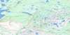
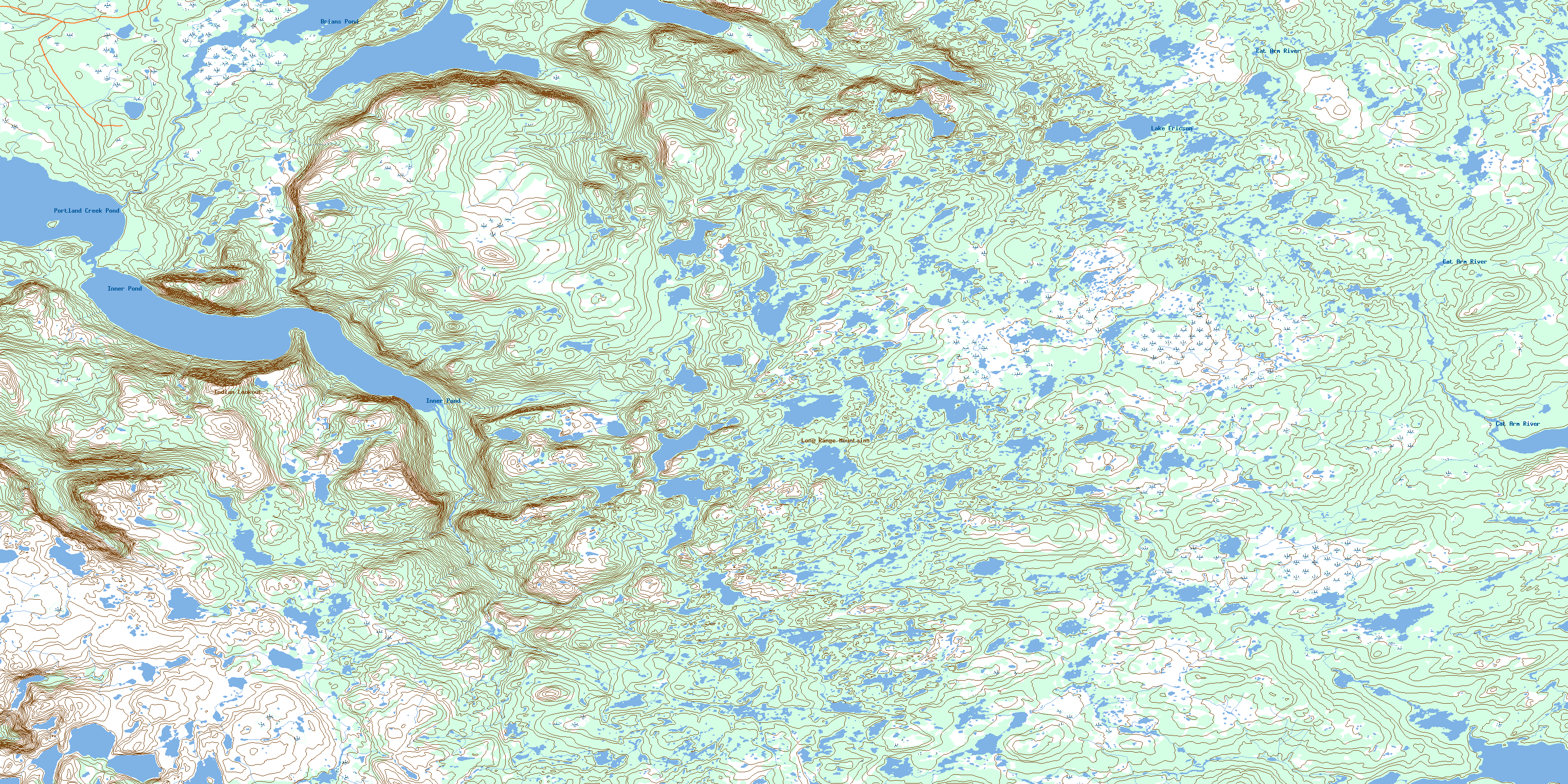
012I03 Indian Lookout Topo Map
To view this map, mouse over the map preview on the right.
You can also download this topo map for free:
012I03 Indian Lookout high-resolution topo map image.
Maps for the Indian Lookout topo map sheet 012I03 at 1:50,000 scale are also available in these versions:
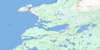
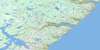
Indian Lookout Surrounding Area Topo Maps
 |
 |
 |
|
 |
 |
 |
|
 |
 |
 |
|
 |
 |
 |
 |
© Department of Natural Resources Canada. All rights reserved.
Indian Lookout Gazetteer
The following places can be found on topographic map sheet 012I03 Indian Lookout:
Indian Lookout Topo Map: Capes
Northern PeninsulaIndian Lookout Topo Map: Lakes
Brians PondInner Pond
Lake Ericson
Lake Michel
Portland Creek Pond
Indian Lookout Topo Map: Mountains
Gros PatéIndian Lookout
Long Range Mountains
Sharp Hill
Indian Lookout Topo Map: Rivers
Bowing BrookCat Arm River
© Department of Natural Resources Canada. All rights reserved.
