Castors River Topo Map Online
Download Free Topo Map Sheet 012I15 at 1:50,000 scale
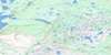
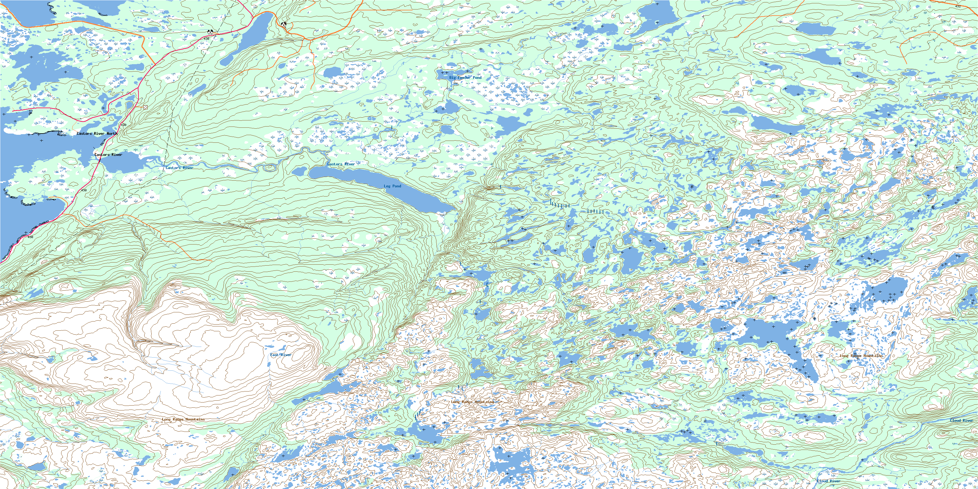
012I15 Castors River Topo Map
To view this map, mouse over the map preview on the right.
You can also download this topo map for free:
012I15 Castors River high-resolution topo map image.
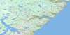
Maps for the Castors River topo map sheet 012I15 at 1:50,000 scale are also available in these versions:
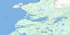
Castors River Surrounding Area Topo Maps
 |
 |
 |
|
 |
 |
 |
|
 |
 |
 |
|
 |
 |
 |
 |
© Department of Natural Resources Canada. All rights reserved.
Castors River Gazetteer
The following places can be found on topographic map sheet 012I15 Castors River:
Castors River Topo Map: Bays
Bartletts HarbourCaribou Cove
Castors Harbour
Golfe du Saint-Laurent
Gulf of St. Lawrence
Mosquito Cove
South Cove
Southeast Cove
Squid Cove
St. John Bay
Castors River Topo Map: Capes
Bear Cove HeadCastor Point
Northern Peninsula
Yellow Point
Castors River Topo Map: Islands
Castor Point IslandCastors River Topo Map: Lakes
Airplane PondBig Feeder Pond
Billys Pond
Bluey on Big East
Coffee Pond
Coombs Pond
Doctors Pond
Double Pond
Dunn Lake
East Castor Pond
Flat Steady
Fox Pond
George Coombs Steady
Island Steady
Jacobs Pond
Leg Pond
Loon Pond
Middle Point Pond
Papoose Pond
Pittmans Pond
Raft Pond
Scaffold Pond
Seven Island Pond
Shellbird Pond
Sister Pond
Snowy Lake
Tilt Pond
Trout Pond
Tuckers Steady
Two Mile Pond
Woodpecker Pond
Woods Pond
Castors River Topo Map: Mountains
Flecks NuddickHighlands of St. John
Leanders Hill
Little Sugar Loaf
Mun Dunn
North Summit
Castors River Topo Map: Conservation areas
Three Mile Lake Provincial ParkCastors River Topo Map: Rivers
Beaver BrookBill Toms Feeder
Castors River
Cloud River
Doctors Brook
East River
Greta Brook
Middle Gulch Brook
Middle Gulch Brook North Branch
Salmon River
Castors River Topo Map: Shoals
The BarCastors River Topo Map: Unincorporated areas
Bartletts HarbourCastor River North
Castor River South
Castors River
Castors River North
© Department of Natural Resources Canada. All rights reserved.
