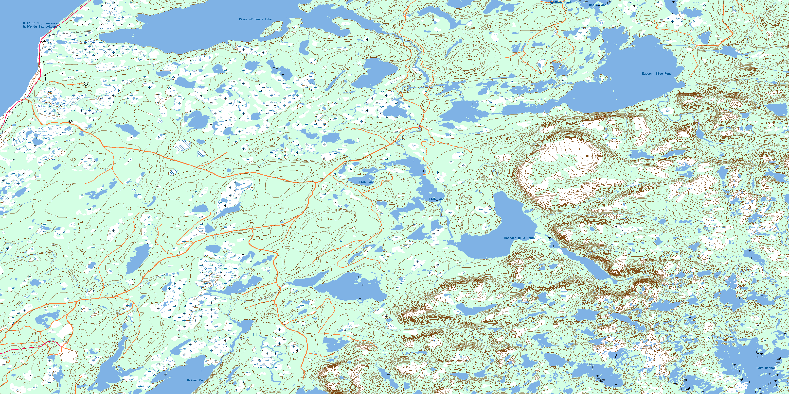
Bellburns Topo Map Online
Download Free Topo Map Sheet 012I06 at 1:50,000 scale
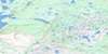
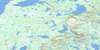
012I06 Bellburns Topo Map
To view this map, mouse over the map preview on the right.
You can also download this topo map for free:
012I06 Bellburns high-resolution topo map image.
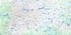
Maps for the Bellburns topo map sheet 012I06 at 1:50,000 scale are also available in these versions:
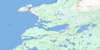
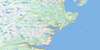
Bellburns Surrounding Area Topo Maps
 |
 |
 |
|
 |
 |
 |
|
 |
 |
 |
|
 |
 |
 |
 |
© Department of Natural Resources Canada. All rights reserved.
Bellburns Gazetteer
The following places can be found on topographic map sheet 012I06 Bellburns:
Bellburns Topo Map: Bays
Bateau CoveGolfe du Saint-Laurent
Gulf of St. Lawrence
Bellburns Topo Map: Capes
La Fontaine PointNorthern Peninsula
Bellburns Topo Map: Lakes
Angle PondBank Pond
Basin Pond
Bellburns Pond
Big Feeder Pond
Big Marsh Pond
Black Duck Pond
Bog Pond
Braggs Pond
Brians Leads
Brians Pond
Burn Marsh Pond
Clay Water
Cobbles Pond
Dry Hole
Dry Pond
East Clay Water Pond
Eastern Blue Pond
Eastern Main Part Steady
Flat Pond
Flat Pond
Forked Feeder Pond
Frenchman Pond
Georges Pond
Grassy Pond
Gull Pond
Harrisons Pond
Harrys Pond
High Pond
Horseshoe
Inner Pond
Inside Two Sisters
Island Pond
Joes Pond
Katesis Feeder Pond
Katesis Pond
Lake Michel
Lawyers Pond
Little Northeast Pond
Long Hole
Long Marsh Pond
Long Pond
Long Pond
Main Part Pond
Middle Tilt Pond
Muddy Pond
Northeast Pond
Otter Pond
Otter Pond
Outside Two Sisters
Pateys Long Pond
Pie Duck Pond
Pittmans Steady
River of Ponds Lake
Rocky Pond
Sandy Cove Tilt
Silver Marsh Pond
Sinnicks Long Pond
Smarts Pond
Spring Tilt
Tilt Pond
Upper Cobbles Pond
West Clay Water Pond
Western Blue Pond
Bellburns Topo Map: Mountains
Blue MountainLong Range Mountains
Bellburns Topo Map: Conservation areas
Table Point Ecological ReserveBellburns Topo Map: Plains
Cobbles FlatsBellburns Topo Map: Rivers
Main Part BrookRushie Brook
Bellburns Topo Map: Valleys
Red CleftBellburns Topo Map: Low vegetation
Bateau BarrensBrians Bogs
Burn Marsh
Eastern Pond Marsh
Hish Marsh
Long Marsh
North Marsh
Rocky Pond Marshes
Silver Marsh
Tilt Marsh
© Department of Natural Resources Canada. All rights reserved.
