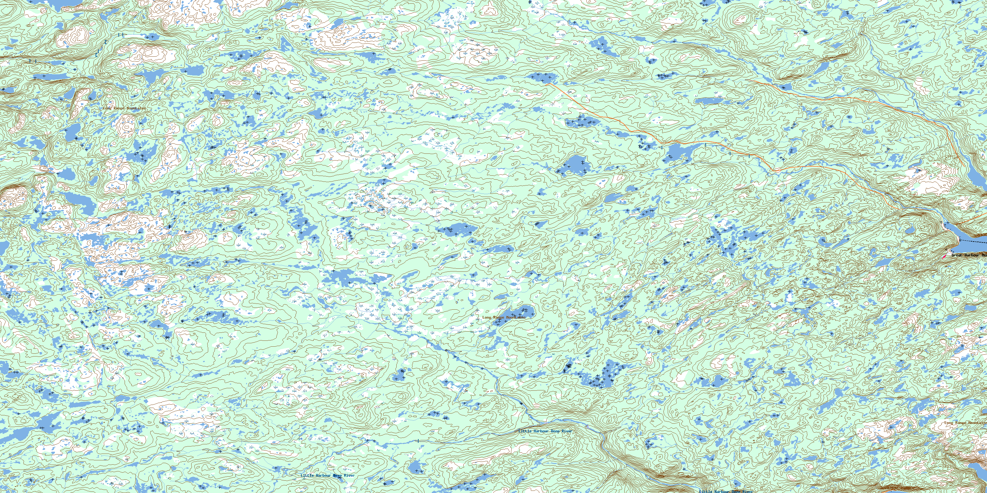
Soufflets River Topo Map Online
Download Free Topo Map Sheet 012I07 at 1:50,000 scale
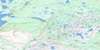
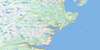
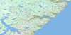
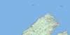
012I07 Soufflets River Topo Map
To view this map, mouse over the map preview on the right.
You can also download this topo map for free:
012I07 Soufflets River high-resolution topo map image.
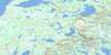
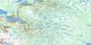
Maps for the Soufflets River topo map sheet 012I07 at 1:50,000 scale are also available in these versions:
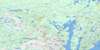
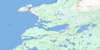
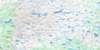
Soufflets River Surrounding Area Topo Maps
 |
 |
 |
|
 |
 |
 |
|
 |
 |
 |
|
 |
 |
 |
 |
© Department of Natural Resources Canada. All rights reserved.
Soufflets River Gazetteer
The following places can be found on topographic map sheet 012I07 Soufflets River:
Soufflets River Topo Map: Bays
Little Harbour DeepNortheast Arm
Northwest Bottom
Pigeonnière Arm
Sault Arm
Southwest Bottom
Union Cove
Soufflets River Topo Map: Capes
Fish PointNorthern Peninsula
Observatory Point
Pigeon Point
Plate Point
The Point
Soufflets River Topo Map: Lakes
Ben Hynes PondBig Pond on the Line
Carbon Pond
Crooked Pond
Crossover Pond
Fish Pond
Gull Pond
Horseshoe Pond
Jaw Bone Pond
Kilometre Pond
Lake Michel
Northern Rocky Steadies
Ocean Ponds
Plane Pond
Pond in the Hole
Pond on the Ridge
Powder Horn Pond
Punishment Pond
Riverhead Pond
Rocky Pond
Rocky Steadies
Round Pond
Sams Pond
Skin Ass Pond
Squid Jigging Pond
Straits Pond
Sure Shot Pond
Tear Drop Pond
Ten Mile Pond
Ugly Pond
Wigwam Ponds
Soufflets River Topo Map: Mountains
Long Range MountainsNuddick Ridge
Soufflets River Topo Map: Rivers
Big Pond Eastern ForkBig Pond Western Fork
Boundary Brook
Feeder Brook
Herbs Brook
Little Harbour Deep River
Main Brook
Neds Brook
Outside Brook
Soufflets River
The Feeder
Soufflets River Topo Map: Road features
Portage RoadRide Away
Soufflets River Topo Map: Shoals
Emeraude ShoalSoufflets River Topo Map: Unincorporated areas
Great Harbour DeepHarbour Deep
Little Harbour Deep
Soufflets River Topo Map: Valleys
Pittmans GulchSoufflets River Topo Map: Low vegetation
Berry BarrensBig Marshes
Copper Barren
Ocean Pond Barrens
© Department of Natural Resources Canada. All rights reserved.
