Lac Rancin Topo Map Online
Download Free Topo Map Sheet 012K13 at 1:50,000 scale
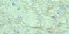
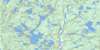
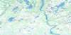
012K13 Lac Rancin Topo Map
To view this map, mouse over the map preview on the right.
You can also download this topo map for free:
012K13 Lac Rancin high-resolution topo map image.
Maps for the Lac Rancin topo map sheet 012K13 at 1:50,000 scale are also available in these versions:
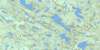
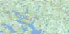
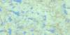
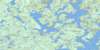
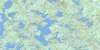
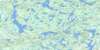
Lac Rancin Surrounding Area Topo Maps
 |
 |
 |
 |
 |
 |
 |
 |
 |
 |
 |
 |
 |
 |
 |
 |
© Department of Natural Resources Canada. All rights reserved.
Lac Rancin Gazetteer
The following places can be found on topographic map sheet 012K13 Lac Rancin:
Lac Rancin Topo Map: Capes
Pointe MusquaroLac Rancin Topo Map: Lakes
Lac DelisleLac Musquaro
Lac Rancin
Lacs Kakuanaihetshitihk
Lacs Kuanetauakau
Lac Rancin Topo Map: Plains
Plaine MistamahtshekLac Rancin Topo Map: Rivers
Rivière AguanishRivière Aguanus
Rivière Akaku
Rivière Grossin
Rivière Kukamesiu
Rivière Natashquan
Rivière Natashquan Ouest
Lac Rancin Topo Map: Road features
Portage Nihuahtehitih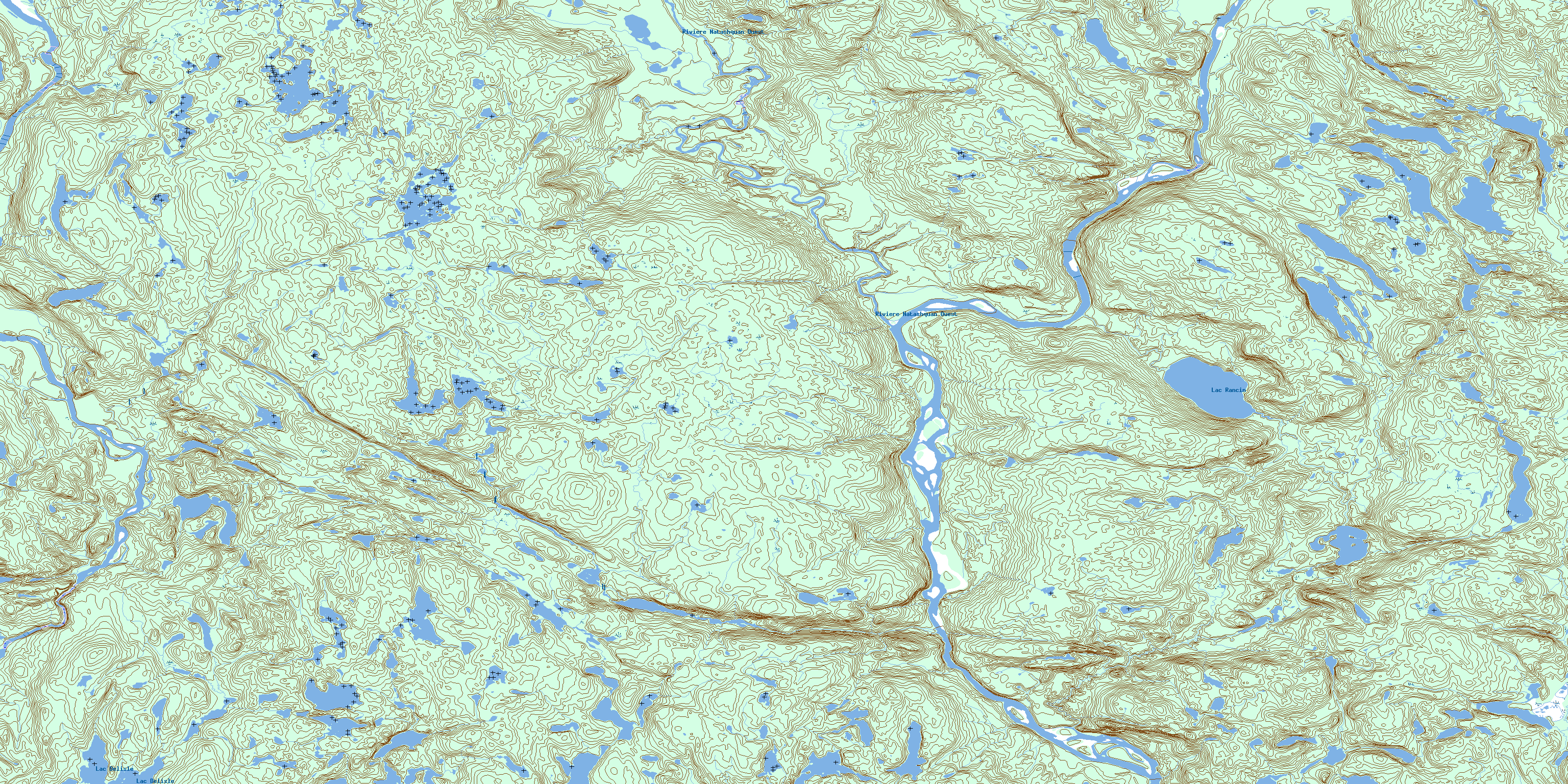
© Department of Natural Resources Canada. All rights reserved.
012K Related Maps:
012K Musquaro012K01 Baie Des Loups
012K02 Gethsemani
012K03 Kegashka
012K04 Natashquan
012K05 Lac Paimpont
012K06 Lac Kegashka
012K07 Lac Washicoutai
012K08 Lac Coacoachou
012K09 Lac Wabouchagamou
012K10 Lac Cauchy
012K11 Lac D'Auteuil
012K12 Lac Victor
012K13 Lac Rancin
012K14 Lac Durocher
012K15 Lac Goyelle
012K16 Lac De Re
