Etagaulet Point Topo Map Online
Download Free Topo Map Sheet 013G14 at 1:50,000 scale
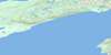
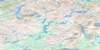
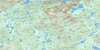
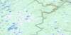
013G14 Etagaulet Point Topo Map
To view this map, mouse over the map preview on the right.
You can also download this topo map for free:
013G14 Etagaulet Point high-resolution topo map image.
Maps for the Etagaulet Point topo map sheet 013G14 at 1:50,000 scale are also available in these versions:
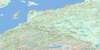
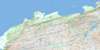
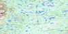
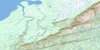
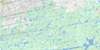
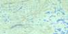
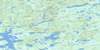
Etagaulet Point Surrounding Area Topo Maps
 |
 |
 |
 |
 |
 |
 |
 |
 |
 |
 |
 |
 |
 |
 |
 |
© Department of Natural Resources Canada. All rights reserved.
Etagaulet Point Gazetteer
The following places can be found on topographic map sheet 013G14 Etagaulet Point:
Etagaulet Point Topo Map: Bays
Charley CoveColeys Arm
Double Mer
Hamilton Inlet
Swallow Harbour
Etagaulet Point Topo Map: Capes
Charley PointEtagaulet Point
Julia Point
Lob Point
Lowland Point
Etagaulet Point Topo Map: Islands
Barred IslandsEtagaulet Point Topo Map: Lakes
Lake MelvilleEtagaulet Point Topo Map: Mountains
The HighlandsEtagaulet Point Topo Map: Rivers
Charley BrookFidos Brook
Frenchmans Brook
Trouting Brook
Etagaulet Point Topo Map: Low vegetation
Lowland Barrens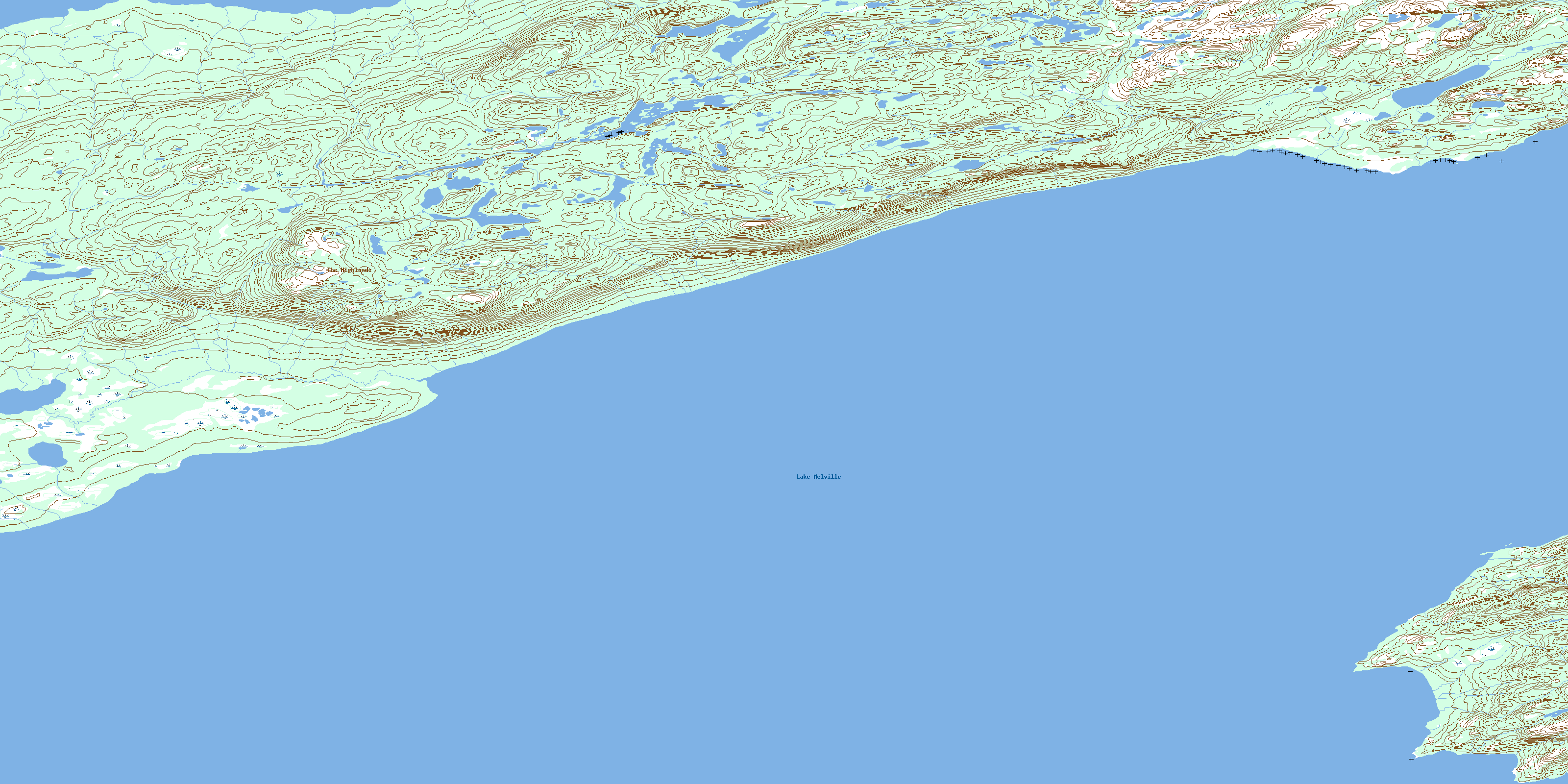
© Department of Natural Resources Canada. All rights reserved.
013G Related Maps:
013G Lake Melville013G01 No Title
013G02 No Title
013G03 No Title
013G04 Kenamu River
013G05 Kenemich River
013G06 No Title
013G07 No Title
013G08 No Title
013G09 No Title
013G10 Etagaulet River
013G11E Eskimo Paps
013G11W Eskimo Paps
013G12E Epinette Point
013G12W Epinette Point
013G13E Mulligan Bay
013G13W Mulligan Bay
013G14E Etagaulet Point
013G14W Etagaulet Point
013G15E Neveisik Island
013G15W Neveisik Island
013G16E No Title
013G16W No Title
