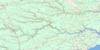
North Cape Topo Map Online
Download Free Topo Map Sheet 021P01 at 1:50,000 scale
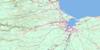
021P01 North Cape Topo Map
To view this map, mouse over the map preview on the right.
You can also download this topo map for free:
021P01 North Cape high-resolution topo map image.
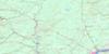
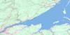
Maps for the North Cape topo map sheet 021P01 at 1:50,000 scale are also available in these versions:
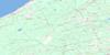
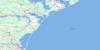
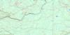
North Cape Surrounding Area Topo Maps
 |
 |
 |
|
 |
 |
 |
|
 |
 |
 |
|
 |
 |
 |
 |
© Department of Natural Resources Canada. All rights reserved.
North Cape Gazetteer
The following places can be found on topographic map sheet 021P01 North Cape:
North Cape Topo Map: Bays
Golfe du Saint-LaurentGulf of St. Lawrence
Morrisseys Cove
North Cape Topo Map: Beaches
Fee ShorePhee Shore
North Cape Topo Map: Channels
Détroit de NorthumberlandNorthumberland Strait
North Cape Topo Map: Geographical areas
Lot 1Prince
North Cape Topo Map: Islands
Prince Edward IslandNorth Cape Topo Map: Lakes
Nail PondNorth Cape Topo Map: Provinces
Île-du-Prince-ÉdouardPrince Edward Island
North Cape Topo Map: Unincorporated areas
NorwayNorth Cape Topo Map: Low vegetation
Black MarshNorth Cape Topo Map: Villages
Nail Pond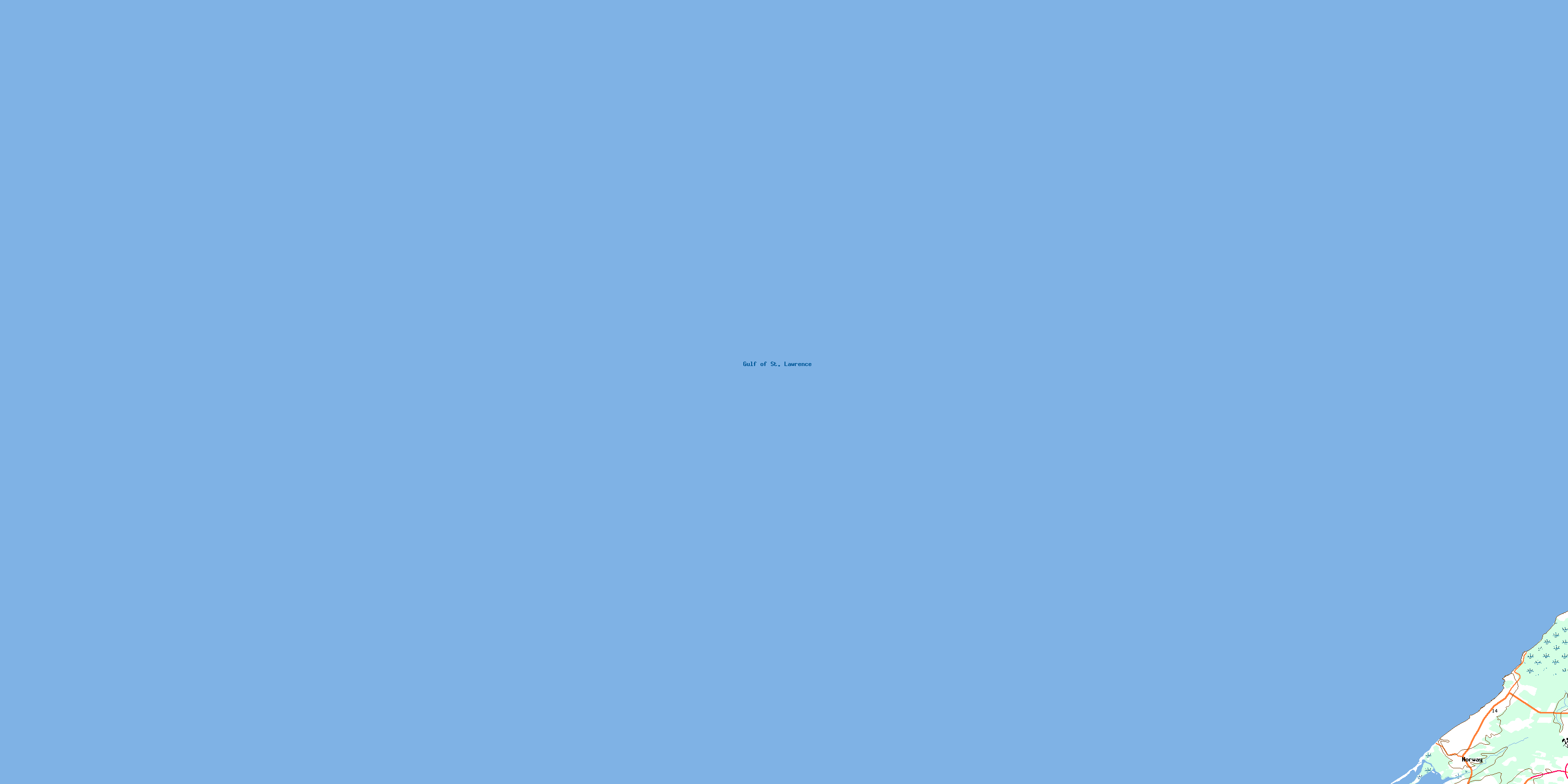
© Department of Natural Resources Canada. All rights reserved.
