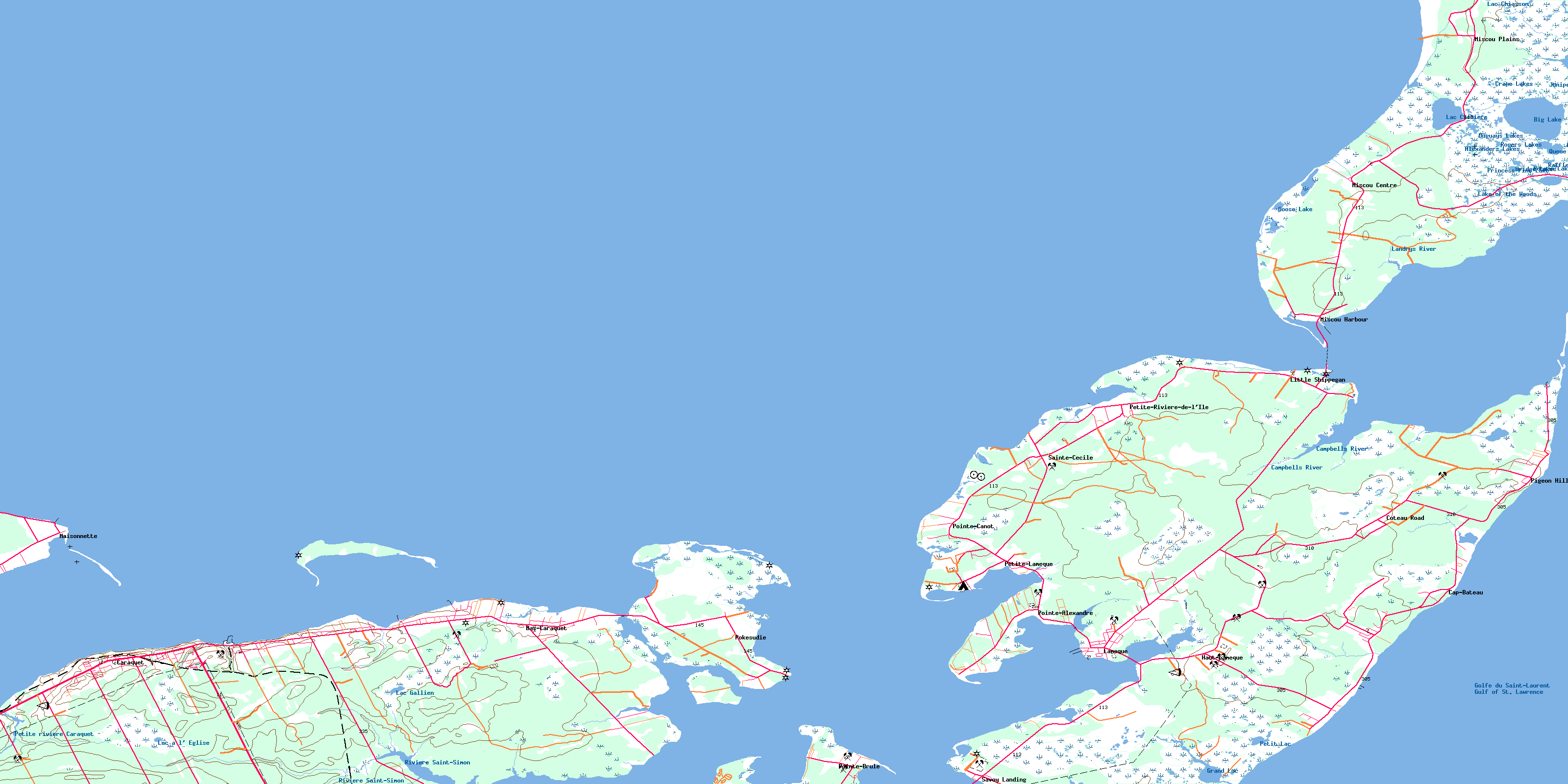
Caraquet Topo Map Online
Download Free Topo Map Sheet 021P15 at 1:50,000 scale
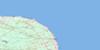
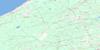
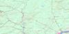
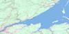
021P15 Caraquet Topo Map
To view this map, mouse over the map preview on the right.
You can also download this topo map for free:
021P15 Caraquet high-resolution topo map image.
Maps for the Caraquet topo map sheet 021P15 at 1:50,000 scale are also available in these versions:
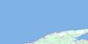
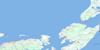
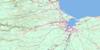
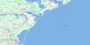
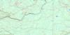
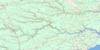
Caraquet Surrounding Area Topo Maps
 |
 |
 |
|
 |
 |
 |
|
 |
 |
 |
|
 |
 |
 |
 |
© Department of Natural Resources Canada. All rights reserved.
Caraquet Gazetteer
The following places can be found on topographic map sheet 021P15 Caraquet:
Caraquet Topo Map: Bays
Baie BrûléBaie de Caraquet
Baie de Chaleur
Baie de Lamèque
Baie de Petite-Lamèque
Baie de Shippegan
Baie des Chaleurs
Baie Saint-Simon-Nord
Basse Bay
Caraquet Bay
Caraquet Harbour
Caribou Cove
Chaleur Bay
Golfe du Saint-Laurent
Golfe Saint-Laurent
Gulf of St. Lawrence
Lamek Bay
Miscou Harbour
North St. Simon Inlet
Portage Bay
Ruisseau Jean-Marie
Saint-Simon Inlet
Shippegan Harbour
Shippigan Harbour
St. Simon Inlet
Caraquet Topo Map: Beaches
Dune de MaisonnetteFox Dens Beach
Grande Batture
La Dune
Miscou Beach
Pigeon Hill Bar
Caraquet Topo Map: Capes
Benlays PointBlack Point
Campbells Point
Cap Bateau
Harper Point
Herring Point
Indian Point
Maisonnette Point
Marks Point
Mya Point
Paint Point
Pandora Point
Pecten Point
Petit Cap
Pointe à Baleine
Pointe à Bernache
Pointe à Brideau
Pointe à l'Église
Pointe à Mailloux
Pointe à Marcelle
Pointe à Peinture
Pointe Alexandre
Pointe Barachois
Pointe Brûlé
Pointe Canot
Pointe de Lamèque
Pointe de Maisonnette
Pointe de Petite-Lamèque
Pointe de Petit-Lamèque
Pointe de Pokesudie
Pointe de Pruce
Pointe de Pruche
Pointe de Roche
Pointe des Blanchard
Pointe d'Herbe
Pointe du Nord-Ouest
Pointe Légère
Pokesudi Point
Pokesudie Point
Sandy Point
Sandy Point
Sandy Point
Skait Point
Stoke Point
Caraquet Topo Map: Channels
Caraquet ChannelFisherman Channel
Fox Dens Gully
Miscou Channel
Petite Passe
Shippegan Channel
Shippegan Sound
Caraquet Topo Map: Geographical areas
CaraquetGloucester
New Bandon
Shippegan
Caraquet Topo Map: Islands
Caraquet IslandÎle au Cheval
Ile au Trésor
Île de Caraquet
Île Lamèque
Île Miscou
Île Pokesudie
L'Îlette de Pokesudie
Little Pokesudi Island
Little Pokesudie Island
Miscou Island
Petite Ile
Pokesudi Island
Pokesudie Island
Roches du Cheval-Blanc
Shippegan Island
Shippigan Island
Taylor Island
Caraquet Topo Map: Lakes
Alexanders LakesBarachois de Pointe-Canot
Big Lake
Black Brook Ponds
Bridge Lakes
Camp Ponds
Cowans Lake
Crane Lakes
Duguays Lakes
Goose Lake
Grand Étang
Grand Lac
Grand Lake
Juniper Lakes
Lac à l'Église
Lac Chenière
Lac Chiasson
Lac Gallien
Lake of the Island
Lake of the Woods
MacGregors Mal Bay
Mal Bay North
Mal Bay South
Mud Ponds
Notman Lake
Otter Lakes
Petit Lac
Princess Pine Lake
Queue of Big Lake
Queue of Mal Baie
Queue of Mal Bay
Raffles Lake
Rogers Lakes
Windsors Mal Bay
Caraquet Topo Map: Mountains
Butte de HartGrosse Butte
Caraquet Topo Map: Conservation areas
Lieu Gabriel-GiraudMaisonnette Provincial Park
Shippagan Provincial Park
Caraquet Topo Map: Plains
Grande PlaineCaraquet Topo Map: Rivers
Black BrookCampbells River
Cedar Brook
Eel Brook
Grand Ruisseau
Herring Creek
Landrys River
McIntosh Creek
Muddy Brook
Petite rivière Caraquet
Rivière Saint-Simon
Ruisseau à Brideau
Ruisseau à Canard
Ruisseau à Chenard
Ruisseau à Dominique
Ruisseau à Maquereau
Ruisseau à Osias
Ruisseau à Sivret
Ruisseau à Tranquille
Ruisseau Charlemagne
Ruisseau Chenière
Ruisseau Creux
Ruisseau de la Cernu
Ruisseau de la Chaloupe
Ruisseau des Godin
Ruisseau Fitzpatrick
Ruisseau Isabelle
St. Simon River
Caraquet Topo Map: Shoals
Caraquet ShoalFisherman Ledge
Maisonnette Ledge
Middle Ground
Miscou Flat
Pokesudie Shoal
Scollop Patch
Shippegan Flat
Caraquet Topo Map: Towns
CaraquetLamèque
Caraquet Topo Map: Unincorporated areas
Cap-BateauCoteau Road
Grande-Plaine
Haut-Lamèque
Le Bouthillier
Little Shippegan
Lower Caraquet
Middle Caraquet
Miscou Centre
Miscou Harbour
Miscou Plains
Morais
Petite-Lamèque
Petite-Rivière-de-l'Ile
Petit-Shippagan
Pigeon Hill
Pointe-Alexandre
Pointe-Brûlé
Pointe-Canot
Pointe-Rocheuse
Pokesudi
Pokesudie
Sainte-Cécile
Sainte-Marie-sur-Mer
Saint-Raphaël-sur-Mer
Savoy Landing
Sewellville
St. Raphaël sur Mer
Ste. Cécile
Ste. Marie sur Mer
Ste-Cécile
Ste-Marie-sur-Mer
St-Raphaël-sur-Mer
Wilson Point
Caraquet Topo Map: Low vegetation
Miscou BarrensCaraquet Topo Map: Villages
Bas-CaraquetMaisonnette
Sainte-Marie-Saint-Raphaël
© Department of Natural Resources Canada. All rights reserved.
