Point Escuminac Topo Map Online
Download Free Topo Map Sheet 021P02 at 1:50,000 scale
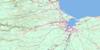
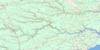
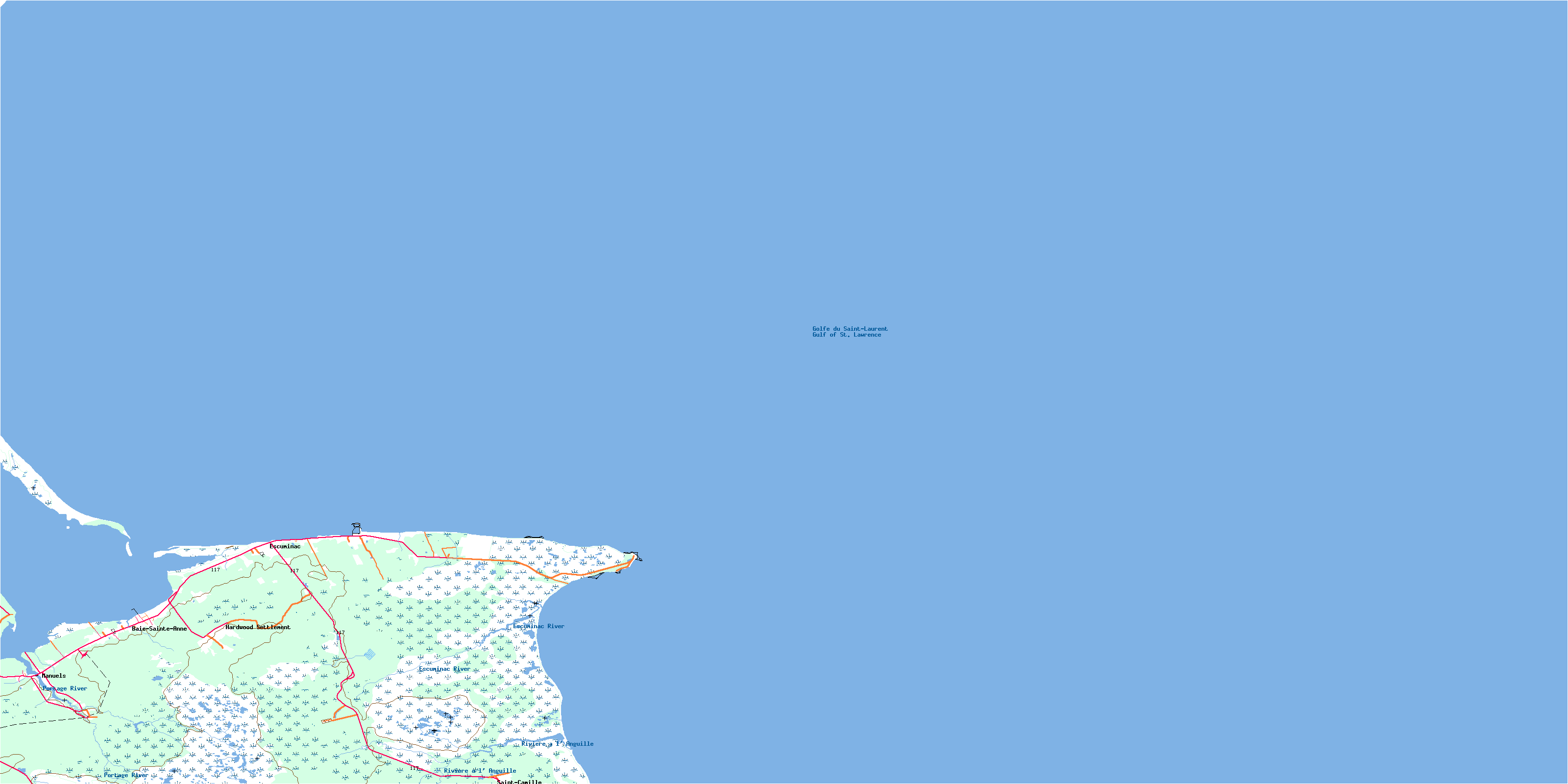
021P02 Point Escuminac Topo Map
To view this map, mouse over the map preview on the right.
You can also download this topo map for free:
021P02 Point Escuminac high-resolution topo map image.
Maps for the Point Escuminac topo map sheet 021P02 at 1:50,000 scale are also available in these versions:
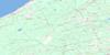
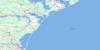
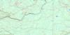
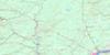
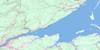
Point Escuminac Surrounding Area Topo Maps
 |
 |
 |
|
 |
 |
 |
|
 |
 |
 |
|
 |
 |
 |
 |
© Department of Natural Resources Canada. All rights reserved.
Point Escuminac Gazetteer
The following places can be found on topographic map sheet 021P02 Point Escuminac:
Point Escuminac Topo Map: Bays
Baie Sainte-AnneGolfe du Saint-Laurent
Golfe Saint-Laurent
Gulf of St. Lawrence
Herring Cove
McLeans Cove
Miramichi Bay
Point Escuminac Topo Map: Beaches
Escuminac BeachesMiramichi Beaches
Preston Beach
Point Escuminac Topo Map: Capes
Long PointPoint Escuminac
Pointe des Prés
Sandy Point
Point Escuminac Topo Map: Channels
Détroit de NorthumberlandFox Gully
Huckleberry Gully
Northumberland Strait
Portage Island Channel
Ship Channel
The Swashway
Point Escuminac Topo Map: Geographical areas
CarletonHardwicke
Kent
Northumberland
Point Escuminac Topo Map: Islands
Fox IslandHuckleberry Island
Point Escuminac Topo Map: Conservation areas
Escuminac Provincial ParkPoint Escuminac Topo Map: Rivers
Bransfield BrookEast Branch Portage River
Eel River
Eel River
Escuminac River
Portage River
Rivière à l'Anguille
Point Escuminac Topo Map: Shoals
Escuminac ReefMiramichi Bar
Outer Bar
The Lump
Point Escuminac Topo Map: Unincorporated areas
Baie Ste. AnneBaie-Sainte-Anne
Baie-Ste-Anne
Bransfield
Escuminac
Hardwood Settlement
Lower Escuminac
Manuels
Point Escuminac
Saint-Camille
Sargent
Point Escuminac Topo Map: Low vegetation
Grand macôque RondGrand mocauque Rond
Mocauque d'Escuminac
Petit macôque Rond
Petit mocauque Rond
Round Plain
© Department of Natural Resources Canada. All rights reserved.
