Ile Hendry Topo Map Online
Download Free Topo Map Sheet 024K08 at 1:50,000 scale
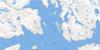
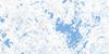
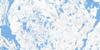
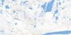
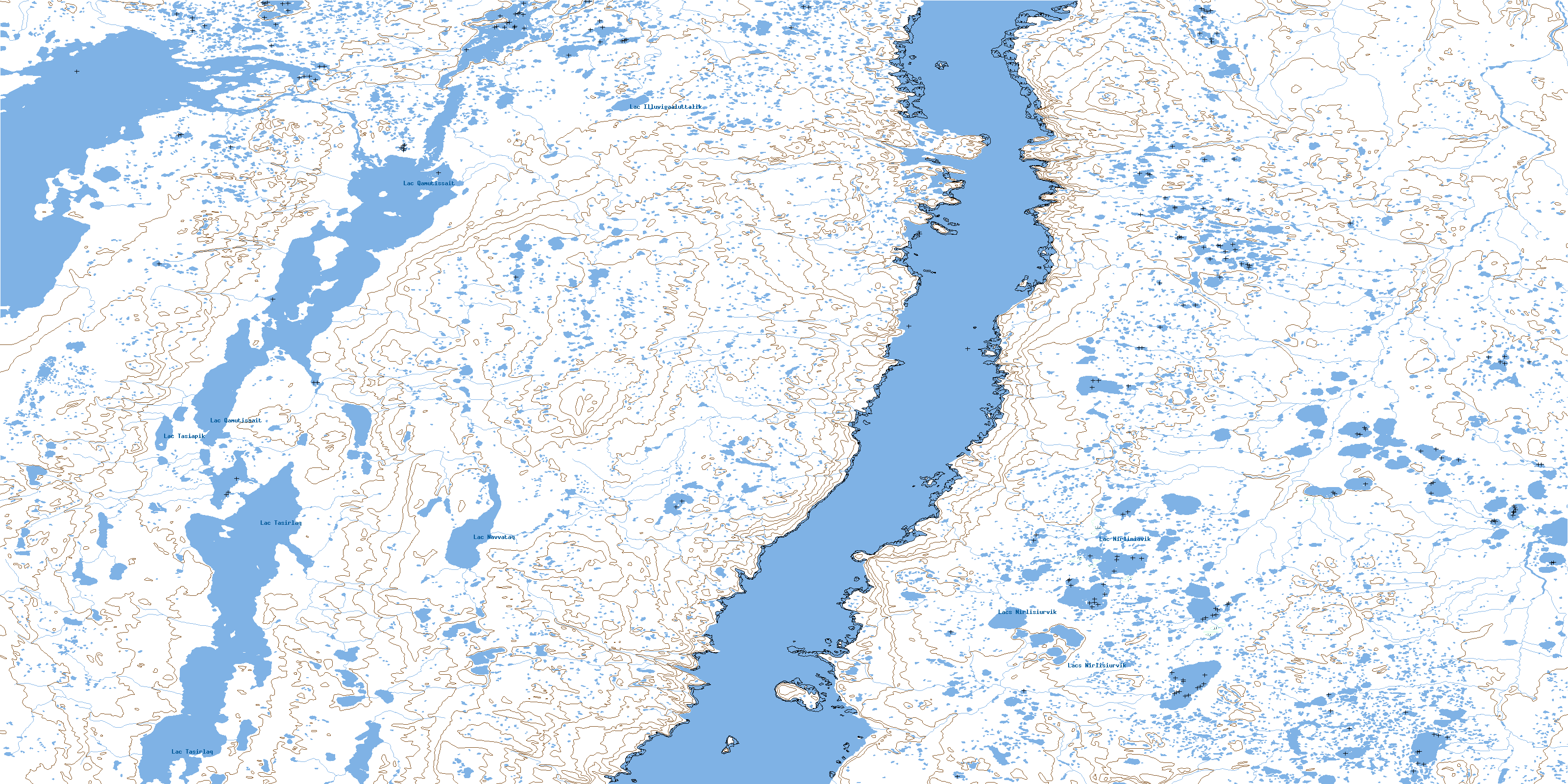
024K08 Ile Hendry Topo Map
To view this map, mouse over the map preview on the right.
You can also download this topo map for free:
024K08 Ile Hendry high-resolution topo map image.
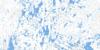
Maps for the Ile Hendry topo map sheet 024K08 at 1:50,000 scale are also available in these versions:
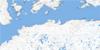
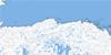
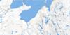
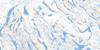
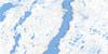
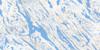
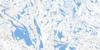
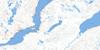
Ile Hendry Surrounding Area Topo Maps
 |
 |
 |
 |
 |
 |
 |
 |
 |
 |
 |
 |
 |
 |
 |
 |
© Department of Natural Resources Canada. All rights reserved.
Ile Hendry Gazetteer
The following places can be found on topographic map sheet 024K08 Ile Hendry:
Ile Hendry Topo Map: Bays
Baie IggiajaqBaie Kangirsukutaaq
Baie Qanirqutuulik
Baie Qilalugarniavik
Ile Hendry Topo Map: Miscellaneous campsites
Camp SaamanniavikIle Hendry Topo Map: Capes
Cap NuvukallakPointe Kisarvik
Pointe Ummanaq
Ile Hendry Topo Map: Channels
Passe QamanikutaaqPasse Quunguk
The Narrows
Ile Hendry Topo Map: Forests
Bois NapaartukallaitIle Hendry Topo Map: Islands
Île BigÎle Edge
Île Hendry
Île Mackays
Île Naujaat
Île Paggiviit
Île Pakkivik
Île Qanirqutuulik
Ile Hendry Topo Map: Lakes
Lac BerthetLac Illuvigaaluttalik
Lac Navvataq
Lac Nirliniavik
Lac Qamutissait
Lac Tasiapik
Lac Tasirlaq
Lacs Nirlisiurvik
Ile Hendry Topo Map: Mountains
Dune IppikallakIle Hendry Topo Map: Rivers
Rivière KoksoakRivière Kuukuluk
Rivière Kuuraapik
Rivière Nepihjee
Rivière Qirniraujaup
Ruisseau Saigurniavik
Ile Hendry Topo Map: River features
Courant ArearaalukCourant Sivuralinialuk
© Department of Natural Resources Canada. All rights reserved.
024K Related Maps:
024K Kuujjuaq024K01E Kuujjuaq
024K01W Kuujjuaq
024K02 Lac Gabriel
024K03 Lac Thevenet
024K04 Lac Gerido
024K05E Lac Harveng
024K05W Lac Harveng
024K06 Lac De Freneuse
024K07 Lac Diana
024K08 Ile Hendry
024K09E Anchor Island
024K09W Anchor Island
024K10E Lac Du Basalte
024K10W Lac Du Basalte
024K11 Lac Ballantyne
024K12 Tasiujaq
024K13 Lac Lucille
024K14E Passage Aux Feuilles
024K14W Passage Aux Feuilles
024K15 Lac Kaslac
024K16 Pointe Ragged
