Niagara Topo Map Online
Download Free Topo Map Sheet 030M03 at 1:50,000 scale
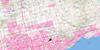
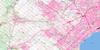
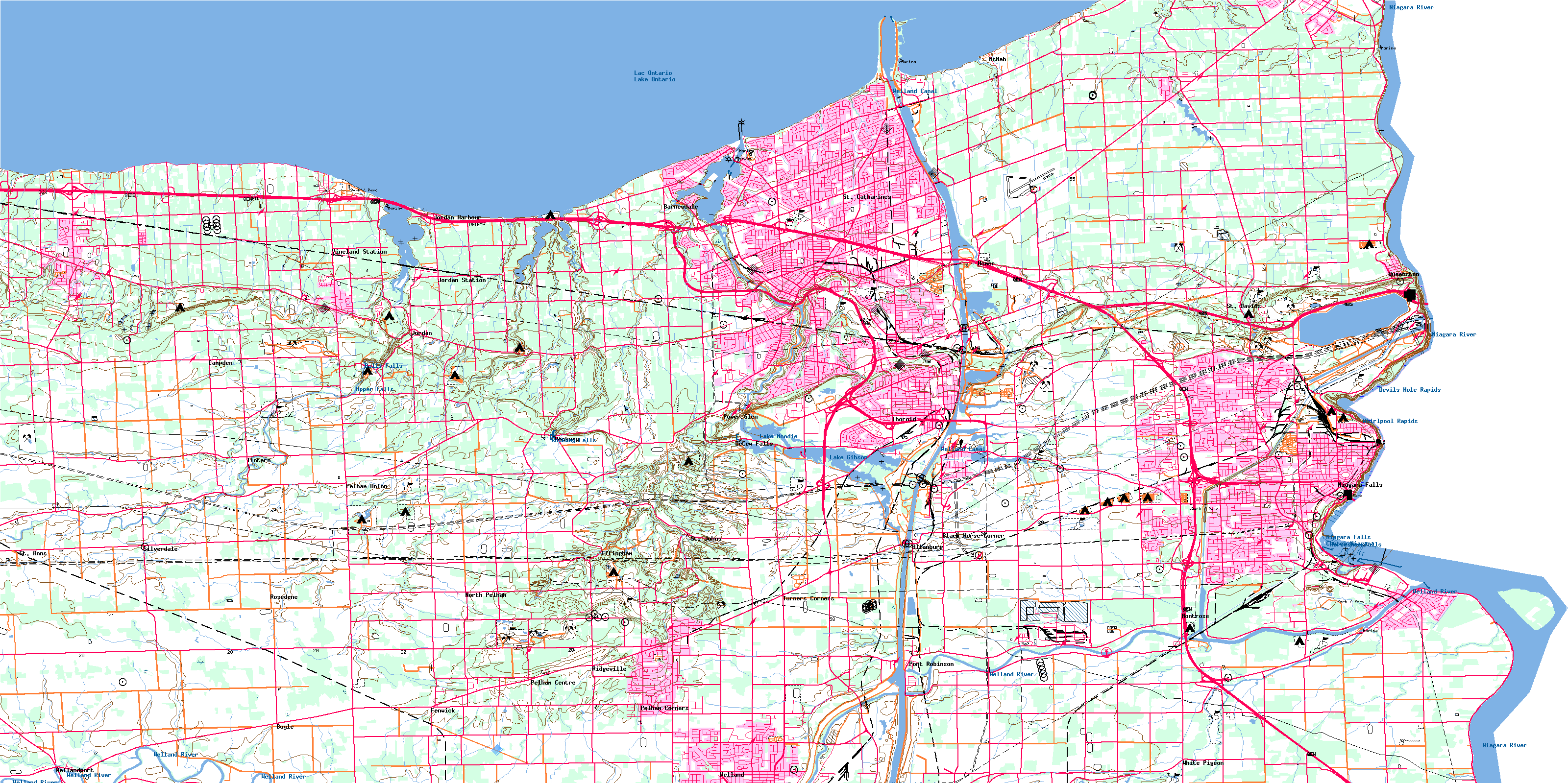
030M03 Niagara Topo Map
To view this map, mouse over the map preview on the right.
You can also download this topo map for free:
030M03 Niagara high-resolution topo map image.
Maps for the Niagara topo map sheet 030M03 at 1:50,000 scale are also available in these versions:
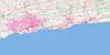
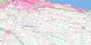
Niagara Surrounding Area Topo Maps
 |
 |
 |
 |
 |
 |
||
 |
|||
 |
 |
© Department of Natural Resources Canada. All rights reserved.
Niagara Gazetteer
The following places can be found on topographic map sheet 030M03 Niagara:
Niagara Topo Map: Bays
Jordan HarbourPort Weller Harbour
Niagara Topo Map: Beaches
Michigan BeachMississauga Beach
Municipal Beach
Port Weller Beach
Niagara Topo Map: Capes
Browns PointBrown's Point
Four Mile Point
McFarland Point
Mississauga Point
Niagara Peninsula
Niagara Topo Map: City
Niagara FallsSt. Catharines
Thorold
Welland
Niagara Topo Map: Cliffs
Niagara EscarpmentNiagara Topo Map: Falls
Balls FallsChutes Niagara
DeCew Falls
Horseshoe Falls
Niagara Falls
Rockway Falls
Upper Falls
Niagara Topo Map: Geographical areas
ClintonCrowland
Gainsborough
Grantham
Lincoln
Louth
Niagara
Pelham
Stamford
Thorold
Welland
Willoughby
Niagara Topo Map: Hydraulic construction
Airport DrainBergen Drain
Butkin Drain
Harrison Drain
Sloma Drain
Thompson Drain
Niagara Topo Map: Islands
Dufferin IslandDufferin Islands
Navy Island
Welland Vale Island
Niagara Topo Map: Lakes
Eight Mile PondEighteen Mile Pond
Fifteen Mile Pond
Four Mile Pond
Lac Ontario
Lake Gibson
Lake Moodie
Lake Ontario
Martindale Pond
Moodie Lake
Sixteen Mile Pond
Two Mile Pond
Niagara Topo Map: Marine navigation features
Canal WellandNew Welland Canal
Old Canal
Old Welland Canal
Power Canal
Welland Canal
Welland Ship Canal
Niagara Topo Map: Military areas
Champ de tir et champ de manoeuvre Niagara-on-the-LakeNiagara-on-the-Lake Range and Training Area
Niagara Topo Map: Mountains
Palatine HillQueenston Heights
Sanitorium Hill
Short Hills
Niagara Topo Map: Major municipal/district area - major agglomerations
Haldimand-NorfolkLincoln
Niagara
Welland
Niagara Topo Map: Other municipal/district area - miscellaneous
CaistorClinton
Crowland
Crowland
Gainsborough
Grantham
Grantham
Humberstone
Louth
Louth
Niagara
South Grimsby
Stamford
Wainfleet
West Lincoln
Willoughby
Niagara Topo Map: Conservation areas
Ball's Falls Conservation AreaBattlefield of Fort George National Historic Site of Canada
Butler's Barracks National Historic Site of Canada
Fort George National Historic Site of Canada
Fort Mississauga National Historic Site of Canada
Lieu historique national du Canada de l'Île-Navy
Lieu historique national du Canada des Casernes-de-Butler
Lieu historique national du Canada des Hauteurs-de-Queenston
Lieu historique national du Canada du Champ-de-Bataille-du-Fort-George
Lieu historique national du Canada du Fort-George
Lieu historique national du Canada du Fort-Mississauga
Navy Island National Historic Site of Canada
Queenston Heights National Historic Site of Canada
Short Hills Provincial Park
St. Johns Conservation Area
Niagara Topo Map: Plains
Niagara GlenWintergreen Flat
Niagara Topo Map: Provinces
OntarioNiagara Topo Map: Rapids
Devils Hole RapidsThe Whirlpool
Whirlpool Rapids
Niagara Topo Map: Rivers
Bartlett CreekBayers Creek
Beaver Creek
Beaver Dams Creek
Boyer's Creek
Chippawa Channel
Eight Mile Creek
Eighteen Mile Creek
Fifteen Mile Creek
Four Mile Creek
Gavora Ditch
Grassy Brook
Lyons Creek
Niagara River
One Mile Creek
Parkers Creek
Rivière Niagara
Rivière Welland
Six Mile Creek
Sixteen Mile Creek
Smeaton Creek
Spring Creek
Sucker Creek
Tea Creek
Tee Creek
Ten Mile Creek
Thirty Mile Creek
Thompsons Creek
Twelve Mile Creek
Twenty Mile Creek
Two Mile Creek
Usshers Creek
Welland River
Niagara Topo Map: Towns
CliftonLincoln
Niagara
Niagara-on-the-Lake
Pelham
Niagara Topo Map: Unincorporated areas
AllanburgBarnesdale
Beamsville
Beaver Dams
Black Bridge
Black Horse Corner
Boyle
Braedale
Campden
Carlton Park
Chantler
Cherrywood Acres
Chippawa
Clifton
Colemans
Corwin Crescent
DeCew Falls
Drummond Heights
Effingham
Facer
Falls View
Fenwick
Fonthill
Forebay
Fraser
Glenridge
Grantham
Greens Corners
Hartzel Road
Henley
Homer
Jordan
Jordan Harbour
Jordan Station
Kunda Park
Lundy's Lane
Maple Park
Marsdale
Martindale Heights
McNab
Merritton
Mississauga Beach
Montebello
Montrose
Montrose Junction
Mulhern
Niagara Falls Centre
Niagara Falls South
Niagara Gardens
North Pelham
Old Glenridge
Orchard Park
Pelham
Pelham Centre
Pelham Corners
Pelham Road
Pelham Union
Port Dalhousie
Port Robinson
Port Weller
Port Weller East
Power Glen
Queenston
Queensway Gardens
Ridgeville
Ridley Heights
Rockway
Rosedene
Royal
Ryderville
Scott
Shipman
Silverdale
Silverdale Station
St. Anns
St. David
St. Davids
St. Johns
St. Johns West
Stamford
Stamford Centre
Stamford Station
Stop 19
Thorold Park
Thorold South
Tintern
Turners Corners
Vineland
Vineland Station
Virgil
Wellandport
Weller Park
Western Hill
Whirlpool
White Pigeon
Niagara Topo Map: Valleys
Jordan ValleyNiagara Gorge
St. Johns Valley
© Department of Natural Resources Canada. All rights reserved.
