Bolton Topo Map Online
Download Free Topo Map Sheet 030M13 at 1:50,000 scale
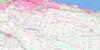
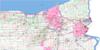
030M13 Bolton Topo Map
To view this map, mouse over the map preview on the right.
You can also download this topo map for free:
030M13 Bolton high-resolution topo map image.
Maps for the Bolton topo map sheet 030M13 at 1:50,000 scale are also available in these versions:
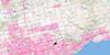
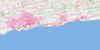
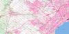
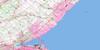
Bolton Surrounding Area Topo Maps
 |
 |
 |
 |
 |
 |
||
 |
|||
 |
 |
© Department of Natural Resources Canada. All rights reserved.
Bolton Gazetteer
The following places can be found on topographic map sheet 030M13 Bolton:
Bolton Topo Map: City
BramptonToronto
Vaughan
Bolton Topo Map: Cliffs
Devils PulpitNiagara Escarpment
Bolton Topo Map: Geographical areas
AdjalaAlbion
Caledon
Chinguacousy
Dufferin
East York
Erin
Etobicoke
King
Mono
Nassagaweya
North York
Peel
Simcoe
Toronto Gore
Vaughan
Wellington
York
Bolton Topo Map: Islands
Recreation IslandBolton Topo Map: Lakes
Bell's LakeGibson Lake
Hackett Lake
Hall Lake
Innis Lake
Kelly Lake
Kennifick Lake
Lake Marie
Lake Seneca
Loch Erne
Mary Lake
Thompson Lake
Warnock Lake
Widgett Lake
Bolton Topo Map: Mountains
Albion HillsCaledon Hills
Caledon Mountain
Mono Hills
Mount Wolfe
Sligo Hill
Bolton Topo Map: Major municipal/district area - major agglomerations
DufferinMetropolitan Toronto
Peel
Simcoe
Wellington
York
Bolton Topo Map: Other municipal/district area - miscellaneous
AdjalaAdjala-Tosorontio
Chinguacousy
Erin
King
Tecumseth
West Garafraxa
Bolton Topo Map: Conservation areas
Black Creek Conservation AreaForks of the Credit Provincial Park
Bolton Topo Map: Rivers
Bailey CreekBlack Creek
Black Creek
Caledon Creek
Centreville Creek
Cold Creek
Credit River
Credit River (Erin Branch)
Don River
Don River
Don River East Branch
Don River West Branch
East Humber River
Emery Creek
Etobicoke Creek
Holland River
Humber River
Keenansville Creek
Lindsay Creek
Little Credit River
Little Don River
Mimico Creek
Rivière Humber
Rowntree Creek
Salt Creek
Silver Creek
West Credit River
West Humber River
Bolton Topo Map: Miscellaneous sites
The Horse ShoeBolton Topo Map: Towns
AlbionAlliston, Beeton, Tecumseth and Tottenham
Aurora
Caledon
Erin
Milton
Mono
New Tecumseth
Bolton Topo Map: Unincorporated areas
AlbionBallycroy
Black Horse
Bolton
Bolton Station
Boston Mills
Caldwell
Caledon East
Caledon Village
Campbells Cross
Castlederg
Castlemore
Cedar Mills
Cedar Mills Station
Cedarville
Cheltenham
Claireville
Claude
Clearview Heights
Coleraine
Connor
Coventry
Credit Forks
Ebenezer
Edgeley
Elder Mills
Elder Station
Emery
Etobicoke
Eversley
Ferndale
Forks of the Credit
Glasgow
Hammertown
Happy Valley
Heritage Park
Hockley Valley
Holly Park
Hope
Humber
Humber Grove
Humber Summit
Inglewood
Kilmanagh
King
King City
King Creek
Kingcross Estates
Kinghorn
Kingscross Estates
Kleinburg
Kleinburg Station
Laskay
Linton
Lloydtown
Lockton
Lucille
Macville
Maple
Mayfield
Mono Mills
Mono Road
Mono Road Station
Mount Wolfe
Nashville
New Scotland
Nobleton
North York
Northwood Park
Palgrave
Palgrave Station
Pine Grove
Pottageville
Purpleville
Rockside
Sandhill
Schomberg
Sherwood
Silver Creek
Sleswick
Sligo
Snowball
Speersville
Stanley Mills
Star
Strange
Sunset Corners
Tamarac Estates
Teston
The Grange
Tormore
Tullamore
Vellore
Victoria
Wildfield
Woodbridge
Bolton Topo Map: Valleys
The DingleBolton Topo Map: Villages
Caledon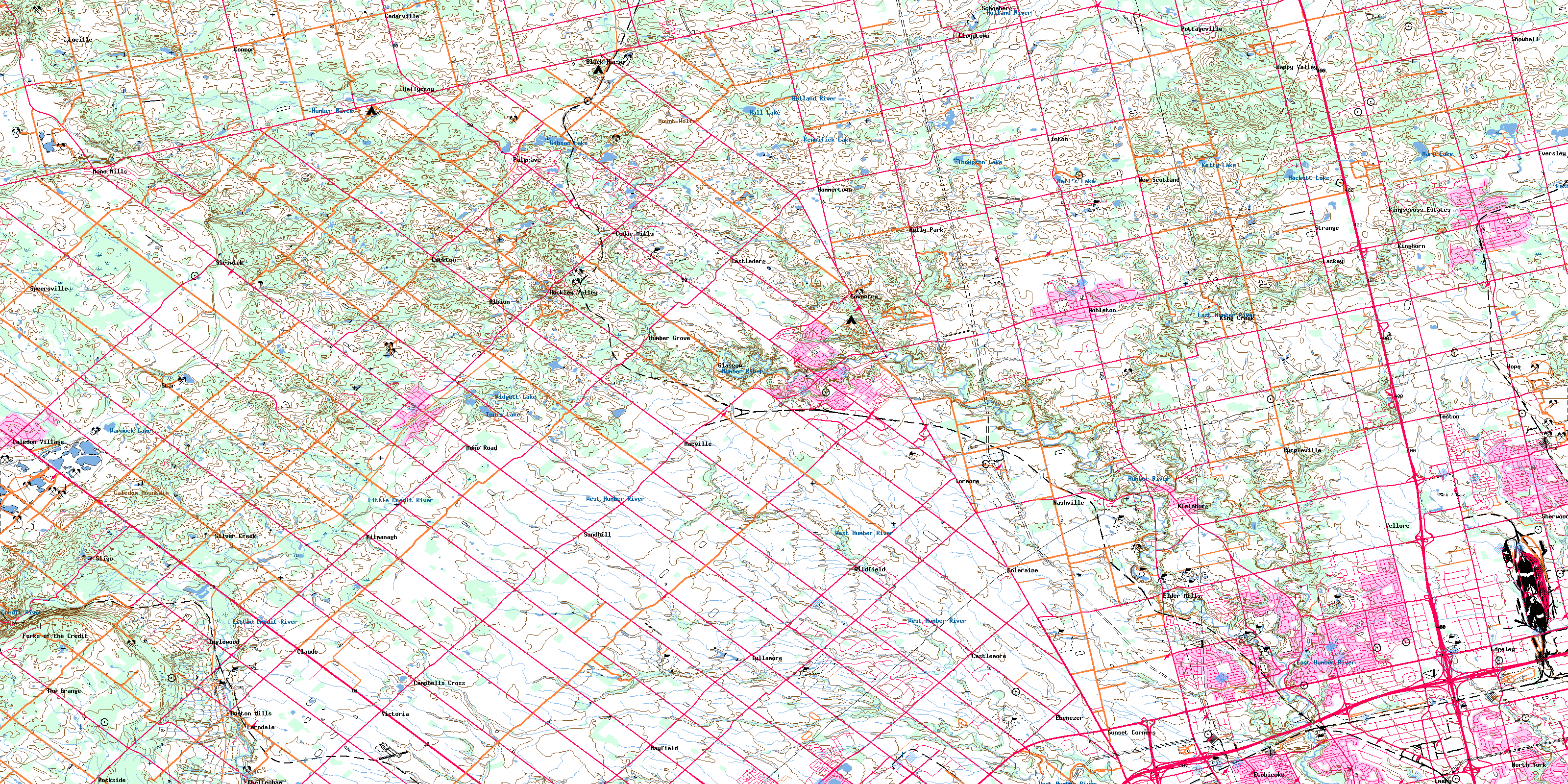
© Department of Natural Resources Canada. All rights reserved.
