Matagami Topo Map Online
Download Free Topo Map Sheet 032F13 at 1:50,000 scale
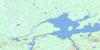
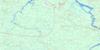
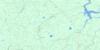
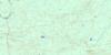
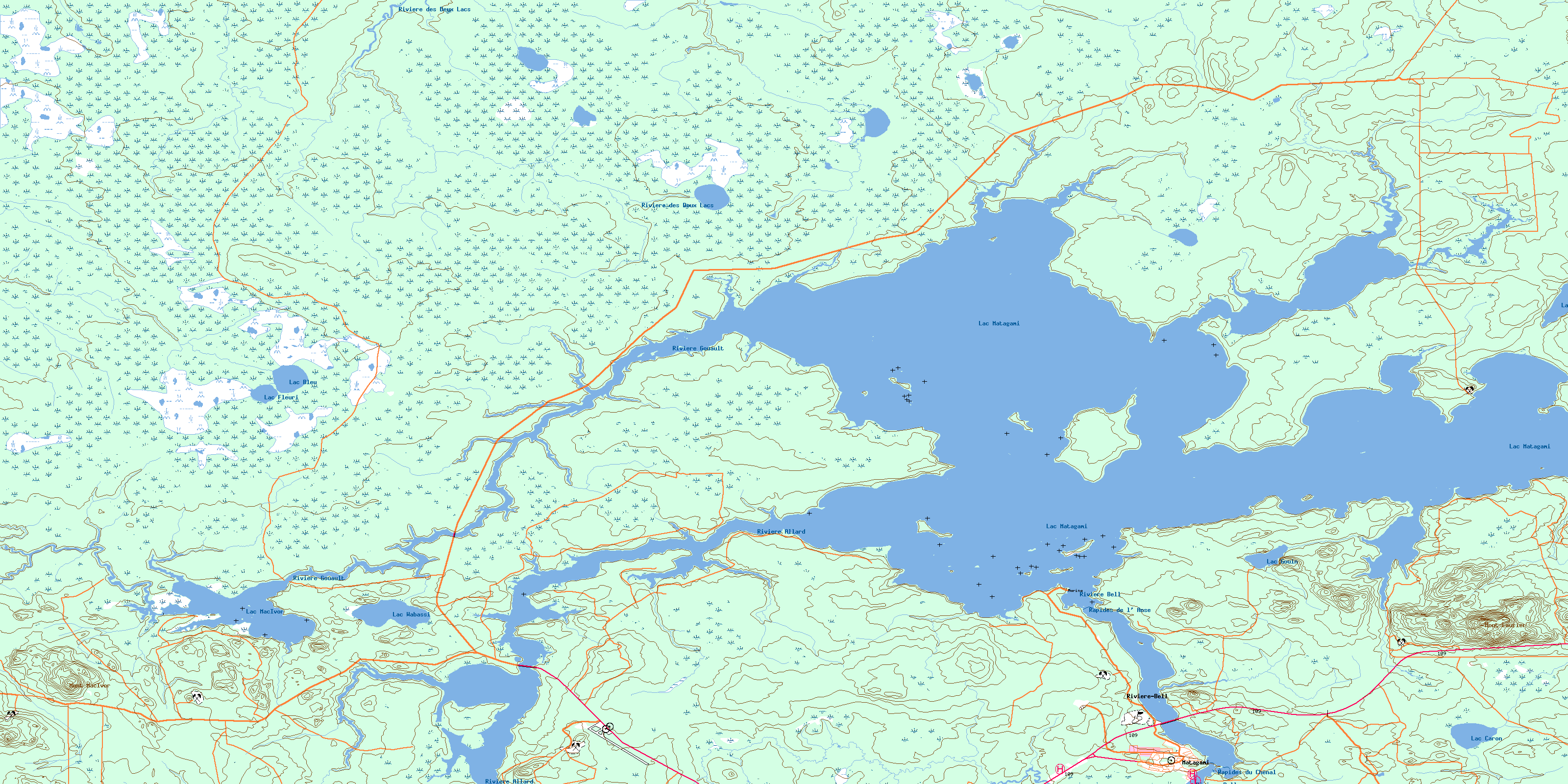
032F13 Matagami Topo Map
To view this map, mouse over the map preview on the right.
You can also download this topo map for free:
032F13 Matagami high-resolution topo map image.
Maps for the Matagami topo map sheet 032F13 at 1:50,000 scale are also available in these versions:
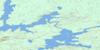
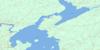
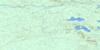
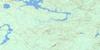
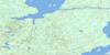
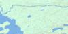
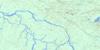
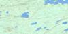
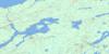
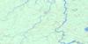
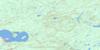
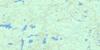
Matagami Surrounding Area Topo Maps
 |
 |
 |
 |
 |
 |
 |
 |
 |
 |
 |
 |
 |
 |
 |
 |
© Department of Natural Resources Canada. All rights reserved.
Matagami Gazetteer
The following places can be found on topographic map sheet 032F13 Matagami:
Matagami Topo Map: Bays
Baie du DykeBaie du Nord
Baie Dunlop
Matagami Topo Map: City
MatagamiMatagami Topo Map: Geographical areas
CorbièreDaniel
Grasset
Isle-Dieu
La Gauchetière
La Pérouse
Le Maistre
Le Sacré-Coeur
Le Sacré-Coeur
Matagami Topo Map: Islands
Île aux BrochetsMatagami Topo Map: Lakes
Lac BleuLac Caron
Lac des Gneiss
Lac Fleuri
Lac Gouin
Lac MacIvor
Lac Matagami
Lac Wabassi
Matagami Topo Map: Mountains
Mont LaurierMont MacIvor
Matagami Topo Map: Rapids
Rapides de l'AnseRapides du Chenal
Rapides Inlet
Matagami Topo Map: Rivers
Rivière AllardRivière Bell
Rivière des Deux Lacs
Rivière Gouault
Rivière MacIvor
Ruisseau Lalanne
Ruisseau Watson
Matagami Topo Map: Road features
Pont de la BellPont de la Rivière-Bell
Matagami Topo Map: Unincorporated areas
MatagamiRivière-Bell
© Department of Natural Resources Canada. All rights reserved.
032F Related Maps:
032F Lac Waswanipi032F01 Lac De La Ligne
032F02 Lac Quevillon
032F03 Passage Du Granite
032F04 Riviere Coigny
032F05 Riviere Des Indiens
032F06 Ile Canica
032F07 Lac Esther
032F08 Lac Pusticamica
032F09 Desmaraisville
032F10 Baie Ramsay
032F11 Riviere Opaoca
032F12 Ile Bancroft
032F13 Matagami
032F14 Lac Olga
032F15 Lac Au Goeland
032F16 Lac Capisisit
