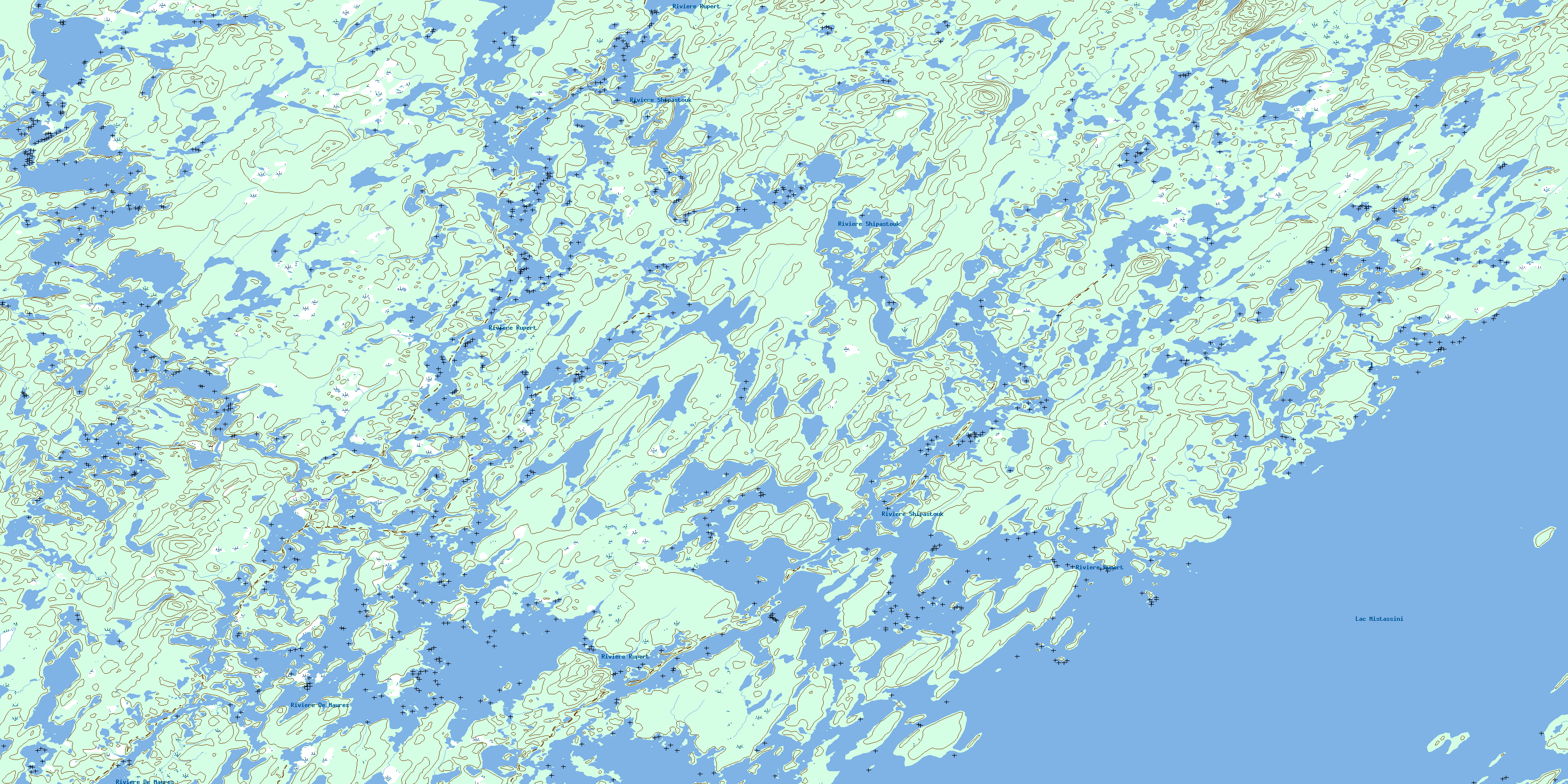
Ile Peuvereau Topo Map Online
Download Free Topo Map Sheet 032P04 at 1:50,000 scale
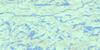
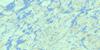
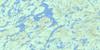
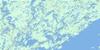
032P04 Ile Peuvereau Topo Map
To view this map, mouse over the map preview on the right.
You can also download this topo map for free:
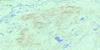
032P04 Ile Peuvereau high-resolution topo map image.
Maps for the Ile Peuvereau topo map sheet 032P04 at 1:50,000 scale are also available in these versions:
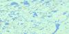
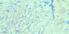
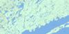
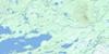
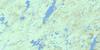
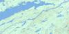
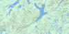
Ile Peuvereau Surrounding Area Topo Maps
 |
 |
 |
 |
 |
 |
 |
 |
 |
 |
 |
 |
 |
 |
 |
 |
© Department of Natural Resources Canada. All rights reserved.
Ile Peuvereau Gazetteer
The following places can be found on topographic map sheet 032P04 Ile Peuvereau:
Ile Peuvereau Topo Map: Bays
Baie de la Roche RougeBaie Fafard
Baie Radisson
Ile Peuvereau Topo Map: Capes
Pointe DodgePresqu'île Des Groseilliers
Presqu'île Louis-Jolliet
Ile Peuvereau Topo Map: Channels
Rivière ShipastoukIle Peuvereau Topo Map: Islands
Île AquinÎle Bellin
Île Chouart
Île Cooter
Île d'Ailly
Île de la Passe
Île de l'Est
Île du Manitou
Île Fafard
Île Garin
Île Lanctot
Île Pariseau
Île Pelletier
Île Peuvereau
Île Piéwi
La Grosse Île
Ile Peuvereau Topo Map: Lakes
Lac DerousselLac des Quiscales
Lac Mistassini
Ile Peuvereau Topo Map: Conservation areas
Réserve de MistassiniIle Peuvereau Topo Map: Rivers
Rivière De MaurèsRivière de Rupert
Rivière Natastan
Rivière Rupert
Ruisseau de la Roche Rouge
Ruisseau Fafard
Ruisseau Kamichkwapiskan
© Department of Natural Resources Canada. All rights reserved.
032P Related Maps:
032P Lac Baudeau032P01 Lac Temiscamie
032P02 Lac Kallio
032P03 Ile Tchapahipane
032P04 Ile Peuvereau
032P05 Lac Woollett
032P06 Lac Fromenteau
032P07 Lac Clairy
032P08 Lac Bethoulat
032P09 Riviere Temis
032P10 Lac Holton
032P11 Lac Gochigami
032P12 Lac Comeau
032P13 Lac Michaux
032P14 Lac Chamic
032P15 Lac Mantouchiche
032P16 Lac Hippocampe
