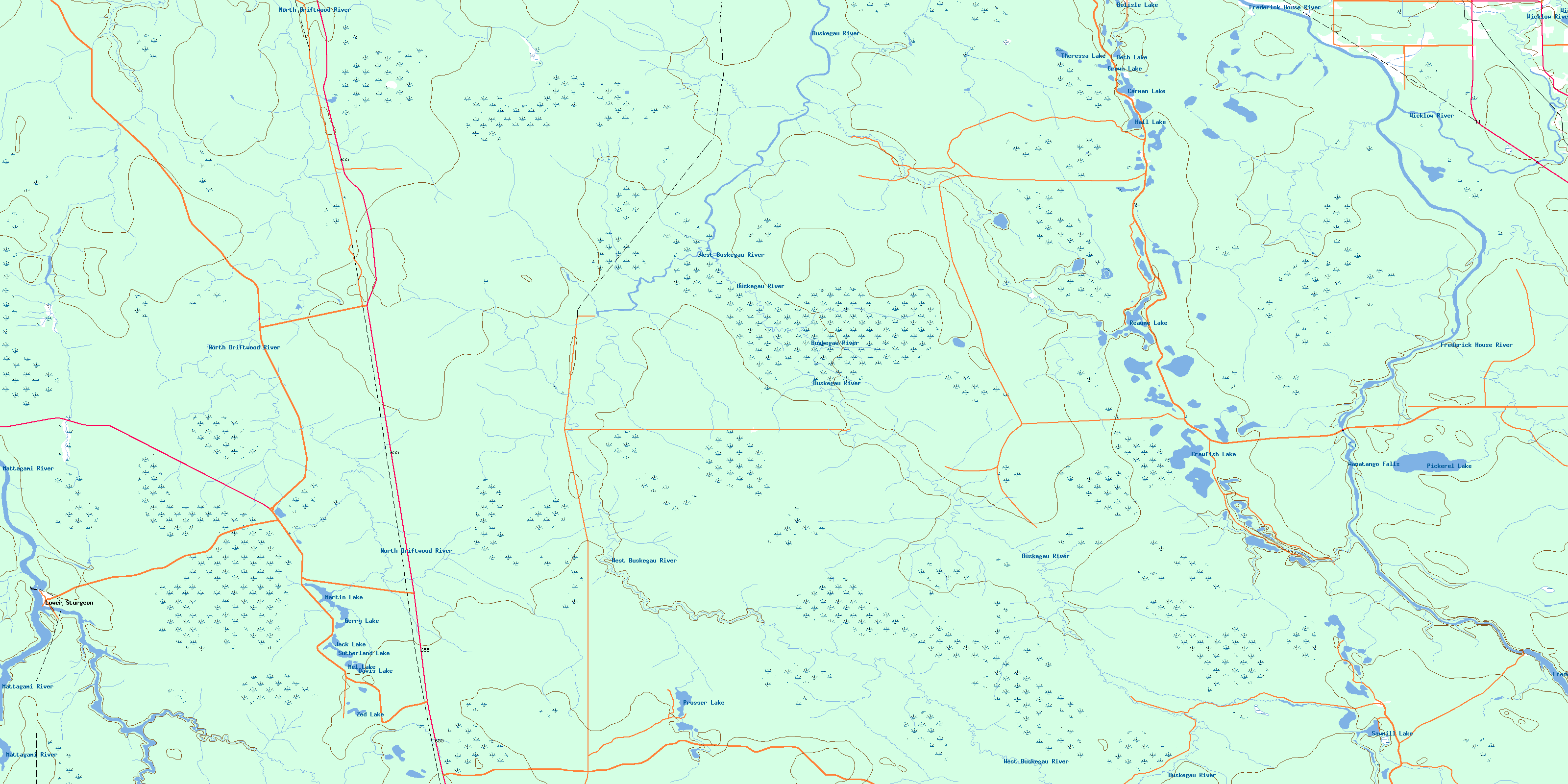
Buskegau River Topo Map Online
Download Free Topo Map Sheet 042A14 at 1:50,000 scale
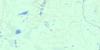
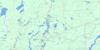
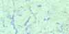
042A14 Buskegau River Topo Map
To view this map, mouse over the map preview on the right.
You can also download this topo map for free:
042A14 Buskegau River high-resolution topo map image.
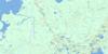
Maps for the Buskegau River topo map sheet 042A14 at 1:50,000 scale are also available in these versions:
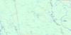
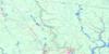
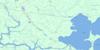
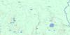
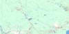
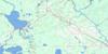
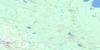
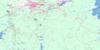
Buskegau River Surrounding Area Topo Maps
 |
 |
 |
 |
 |
 |
 |
 |
 |
 |
 |
 |
 |
 |
 |
 |
© Department of Natural Resources Canada. All rights reserved.
Buskegau River Gazetteer
The following places can be found on topographic map sheet 042A14 Buskegau River:
Buskegau River Topo Map: Falls
High FallsSturgeon Falls
Wanatango Falls
Buskegau River Topo Map: Geographical areas
AubinBeck
Carnegie
Cochrane
Crawford
Dargavel
Duff
Fournier
Hanna
Lamarche
Lennox
Little
Lucas
Mahaffy
Mann
Nesbitt
Ottaway
Prosser
Reaume
Reid
Timiskaming
Tully
Buskegau River Topo Map: Lakes
Belisle LakeBeth Lake
Carman Lake
Crawfish Lake
Crawfish Lakes
Crown Lake
Davis Lake
Evelyn Lake
Gerry Lake
Hall Lake
Jack Lake
Little Lake
Martin Lake
Mel Lake
Pickerel Lake
Prosser Lake
Reaume Lake
Sawmill Lake
Sutherland Lake
Theressa Lake
Zed Lake
Buskegau River Topo Map: Other municipal/district area - miscellaneous
GlackmeyerBuskegau River Topo Map: Conservation areas
Mahaffy Township Ground Moraine Conservation ReserveBuskegau River Topo Map: Rapids
Three RapidsBuskegau River Topo Map: Rivers
Buskegau RiverDevonshire Creek
Flint Creek
Frederick House River
Hanna Creek
Jocko Creek
Kidd Creek
Lennox Creek
Mattagami River
Nesbitt Creek
North Driftwood River
Pickerel Creek
Prosser Creek
Reaume Creek
Rivière Mattagami
West Buskegau River
Wicklow Creek
Wicklow River
Buskegau River Topo Map: Towns
CochraneBuskegau River Topo Map: Unincorporated areas
Lower SturgeonSturgeon Falls
© Department of Natural Resources Canada. All rights reserved.
042A Related Maps:
042A Timmins042A01 Kirkland Lake
042A02 Radisson Lake
042A03 Peterlong Lake
042A04 Kenogaming Lake
042A05 Dana Lake
042A06 Timmins
042A07 Watabeag River
042A08 Ramore
042A09 Matheson
042A10 Porquis Junction
042A11 Pamour
042A12 Kamiskotia Lake
042A13 Manning Lake
042A14 Buskegau River
042A15 Iroquois Falls
042A16 Low Bush
