Dana Lake Topo Map Online
Download Free Topo Map Sheet 042A05 at 1:50,000 scale
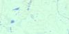
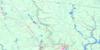
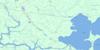
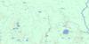
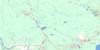
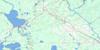
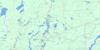
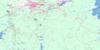
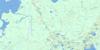
042A05 Dana Lake Topo Map
To view this map, mouse over the map preview on the right.
You can also download this topo map for free:
042A05 Dana Lake high-resolution topo map image.
Maps for the Dana Lake topo map sheet 042A05 at 1:50,000 scale are also available in these versions:
Dana Lake Surrounding Area Topo Maps
 |
 |
 |
 |
 |
 |
 |
 |
 |
 |
 |
 |
 |
 |
 |
 |
© Department of Natural Resources Canada. All rights reserved.
Dana Lake Gazetteer
The following places can be found on topographic map sheet 042A05 Dana Lake:
Dana Lake Topo Map: City
TimminsTimmins-Porcupine
Dana Lake Topo Map: Geographical areas
BristolCarscallen
Cochrane
Denton
Enid
Frey
Godfrey
Hillary
Keefer
Massey
McKeown
Reynolds
Sewell
Thorneloe
Timiskaming
Turnbull
Whitesides
Dana Lake Topo Map: Islands
Driftwood IslandDana Lake Topo Map: Lakes
Aconda LakeBean Lake
Big Gull Lake
Bigmarsh Lake
Boom Lake
Bristol Lake
Bromley Lake
Camp Six Lake
Carlton Lake
Carscallen Lake
Cosgrove Lake
Crest Lake
Dana Lake
Denton Lake
Ellery Lake
Forbes Lake
Frey Lake
Godfrey Lake
Godon Lake
Gull Lakes
Gunther Lake
Harriet Lake
Hoof Lake
Janet Lake
Jordan Lake
Jowsey Lake
Keefer Lake
Keeley Lake
Kenogamissi Lake
Levalley Lake
Little Frey Lake
Little Gull Lake
Little Star Lake
Lundberg Lake
Luquer Lake
Mahoney Lake
McDonell Lake
Norris Lake
North Lake
Opishing Lake
Parliment Lake
Pirsson Lake
Pup Lakes
Rankin Lake
Sly Lake
Star Lake
Star Lake
Tortoise Lake
Wallingford Lake
Warren Lake
Weisman Lake
Weston Lake
Whitesides Lake
Dana Lake Topo Map: Mountains
Lemon HillDana Lake Topo Map: Other municipal/district area - miscellaneous
MountjoyTisdale
Whitney
Dana Lake Topo Map: Conservation areas
Dana-Jowsey Lakes Provincial ParkTatachikapika River Plain Conservation Reserve
Dana Lake Topo Map: Rivers
Bristol CreekCrawford River
Cripple Creek
Frey Creek
Godfrey Creek
Godon Creek
Godon Creek
Harriet Creek
Kamiskotia River
Keefer Creek
Kelly Creek
Left Creek
Little Enid Creek
Little Waterhen Creek
Lostdog Creek
Mahoney Creek
Mattagami River
Nat River
Parliment Creek
Rivière Mattagami
Robb Creek
Sewell Creek
Star Creek
Tatachikapika River
Thunder Creek
Twentysix Mile Creek
Twentythree Mile Creek
Weisman Creek
West Crawford Creek
West Crawford River
Dana Lake Topo Map: Unincorporated areas
The Cache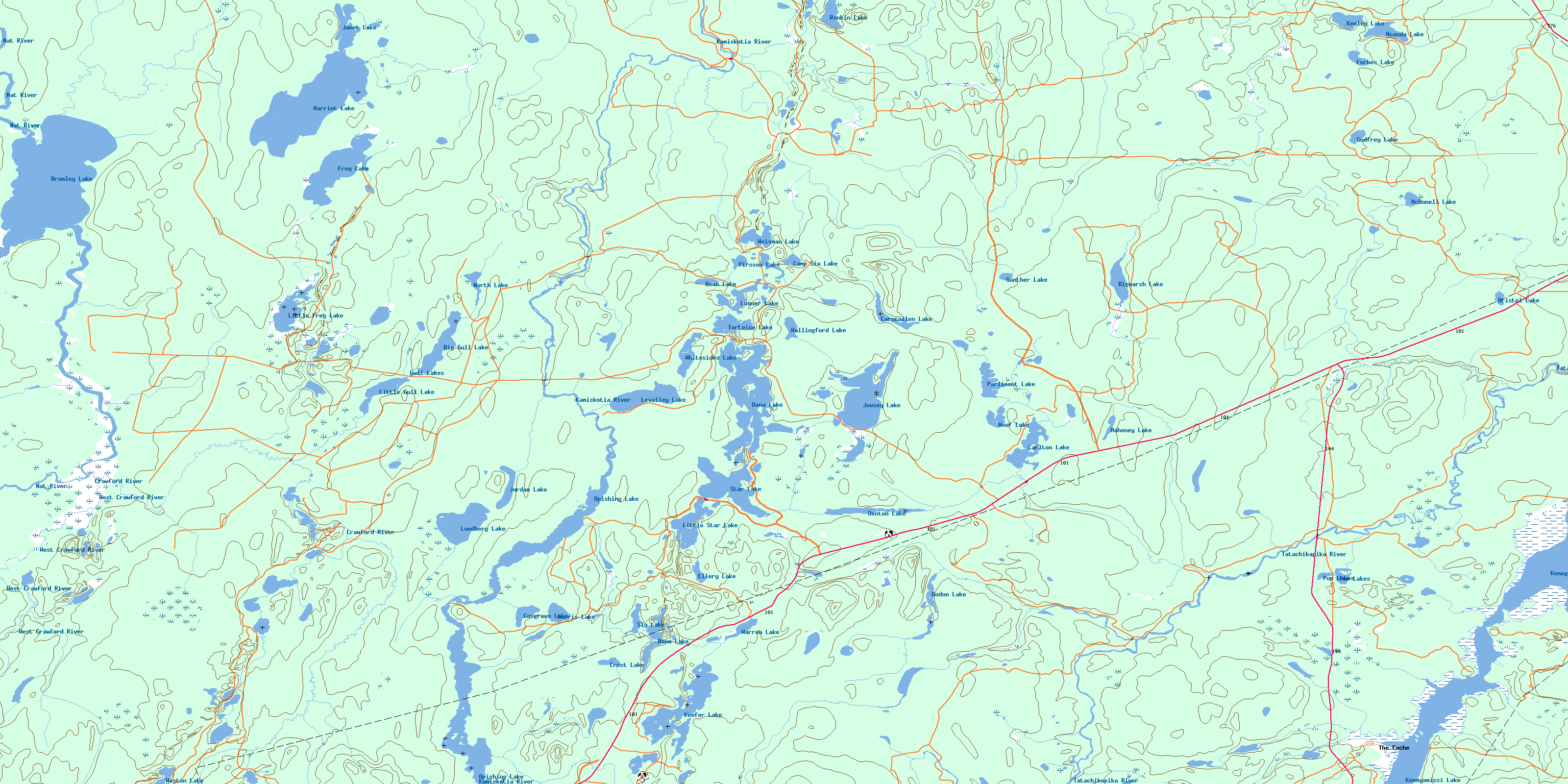
© Department of Natural Resources Canada. All rights reserved.
042A Related Maps:
042A Timmins042A01 Kirkland Lake
042A02 Radisson Lake
042A03 Peterlong Lake
042A04 Kenogaming Lake
042A05 Dana Lake
042A06 Timmins
042A07 Watabeag River
042A08 Ramore
042A09 Matheson
042A10 Porquis Junction
042A11 Pamour
042A12 Kamiskotia Lake
042A13 Manning Lake
042A14 Buskegau River
042A15 Iroquois Falls
042A16 Low Bush
