Matheson Topo Map Online
Download Free Topo Map Sheet 042A09 at 1:50,000 scale
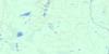
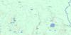
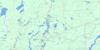
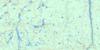
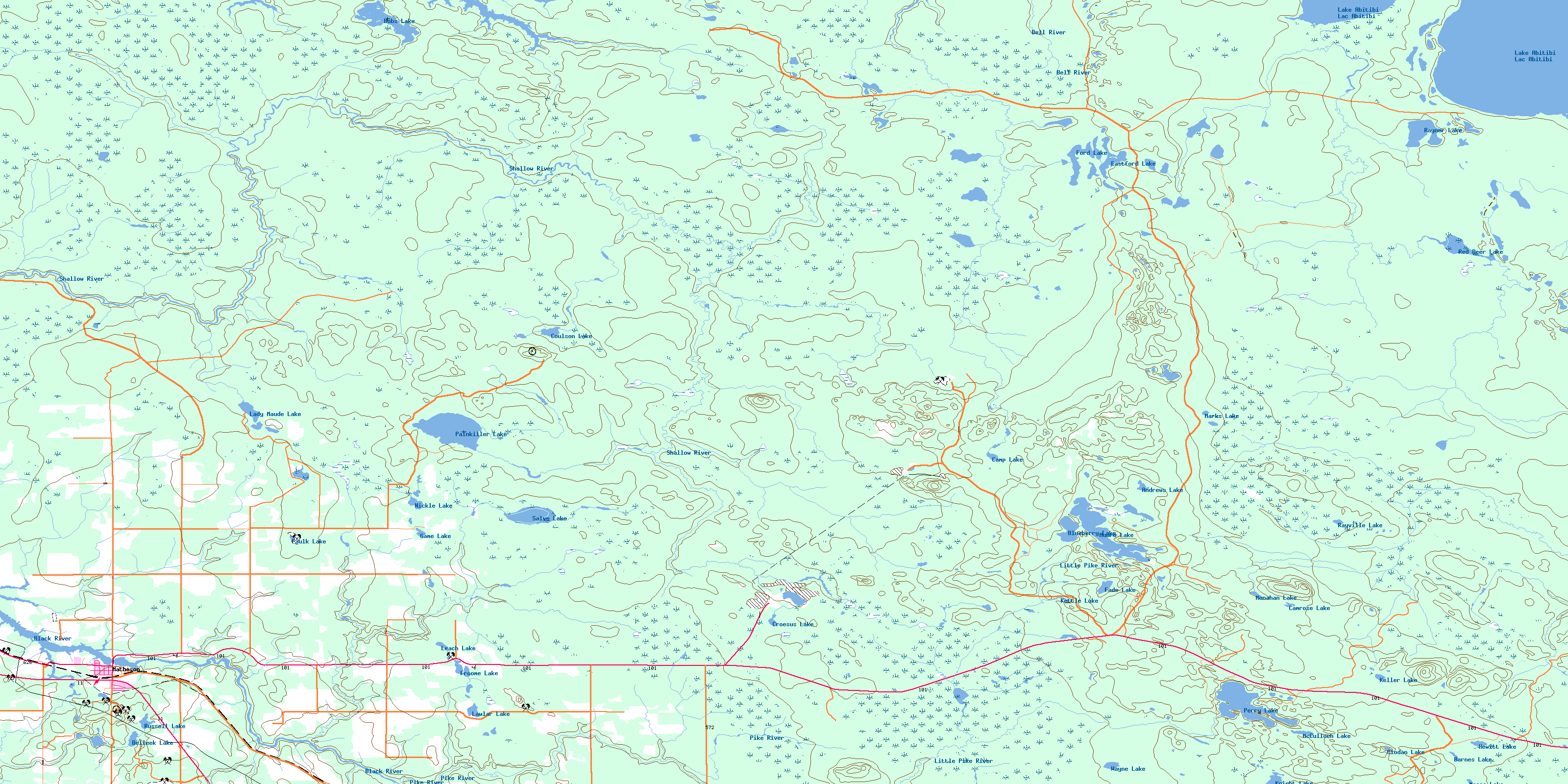
042A09 Matheson Topo Map
To view this map, mouse over the map preview on the right.
You can also download this topo map for free:
042A09 Matheson high-resolution topo map image.
Maps for the Matheson topo map sheet 042A09 at 1:50,000 scale are also available in these versions:
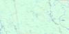
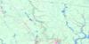
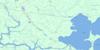
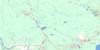
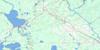
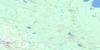
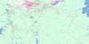
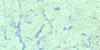
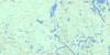
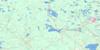
Matheson Surrounding Area Topo Maps
 |
 |
 |
 |
 |
 |
 |
 |
 |
 |
 |
 |
 |
 |
 |
 |
© Department of Natural Resources Canada. All rights reserved.
Matheson Gazetteer
The following places can be found on topographic map sheet 042A09 Matheson:
Matheson Topo Map: Bays
Chesney BayMatheson Topo Map: Capes
Long PointMatheson Topo Map: Falls
McDougal FallsMatheson Topo Map: Geographical areas
BeattyBowman
Carr
Cochrane
Coulson
Garrison
Guibord
Hislop
Kerrs
Knox
McCool
Michaud
Milligan
Munro
Rickard
Timiskaming
Warden
Wilkie
Matheson Topo Map: Indian Reserves
Abitibi Indian Reserve 70Réserve indienne Abitibi 70
Matheson Topo Map: Lakes
Andrews LakeBarnes Lake
Belleek Lake
Blueberry Lake
Bobs Lake
Camp Lake
Camrose Lake
Clodan Lake
Coulson Lake
Croesus Lake
Eastford Lake
Fade Lake
Faulk Lake
Ford Lake
Froome Lake
Game Lake
Guibord Lake
Hewitt Lake
Keller Lake
Kettle Lake
Knight Lake
Lac Abitibi
Lady Maude Lake
Lake Abitibi
Lawlar Lake
Leach Lake
Marks Lake
Masse Lake
McCulloch Lake
McLean Lake
Milligan Lake
Monahan Lake
Munro Lake
Nickle Lake
North Kettle Lake
Painkiller Lake
Perry Lake
Ransom Lake
Rayner Lake
Rayville Lake
Red Deer Lake
Russell Lake
Salve Lake
Three Mile Lake
Wayne Lake
Matheson Topo Map: Mountains
Centre HillGuibord Hill
McCool Hill
Warden Hill
Matheson Topo Map: Other municipal/district area - miscellaneous
Black River-MathesonKingham
Playfair
Matheson Topo Map: Conservation areas
Shallow River Poplar Outwash Conservation ReserveMatheson Topo Map: Rivers
Barton CreekBell River
Black River
Bobs Creek
Camp Creek
Centre Creek
Coulson Creek
Little Pike River
Low Creek
McCool Creek
Monahan Creek
Nickle Creek
Perry Creek
Pike River
Ransom Creek
Russell Creek
Salve Creek
Shallow River
Tanager Creek
Warden Creek
Matheson Topo Map: Towns
Iroquois FallsMatheson Topo Map: Unincorporated areas
BelleekMatheson
© Department of Natural Resources Canada. All rights reserved.
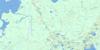
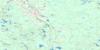
042A Related Maps:
042A Timmins042A01 Kirkland Lake
042A02 Radisson Lake
042A03 Peterlong Lake
042A04 Kenogaming Lake
042A05 Dana Lake
042A06 Timmins
042A07 Watabeag River
042A08 Ramore
042A09 Matheson
042A10 Porquis Junction
042A11 Pamour
042A12 Kamiskotia Lake
042A13 Manning Lake
042A14 Buskegau River
042A15 Iroquois Falls
042A16 Low Bush
