Kirkland Lake Topo Map Online
Download Free Topo Map Sheet 042A01 at 1:50,000 scale
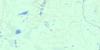
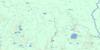
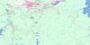
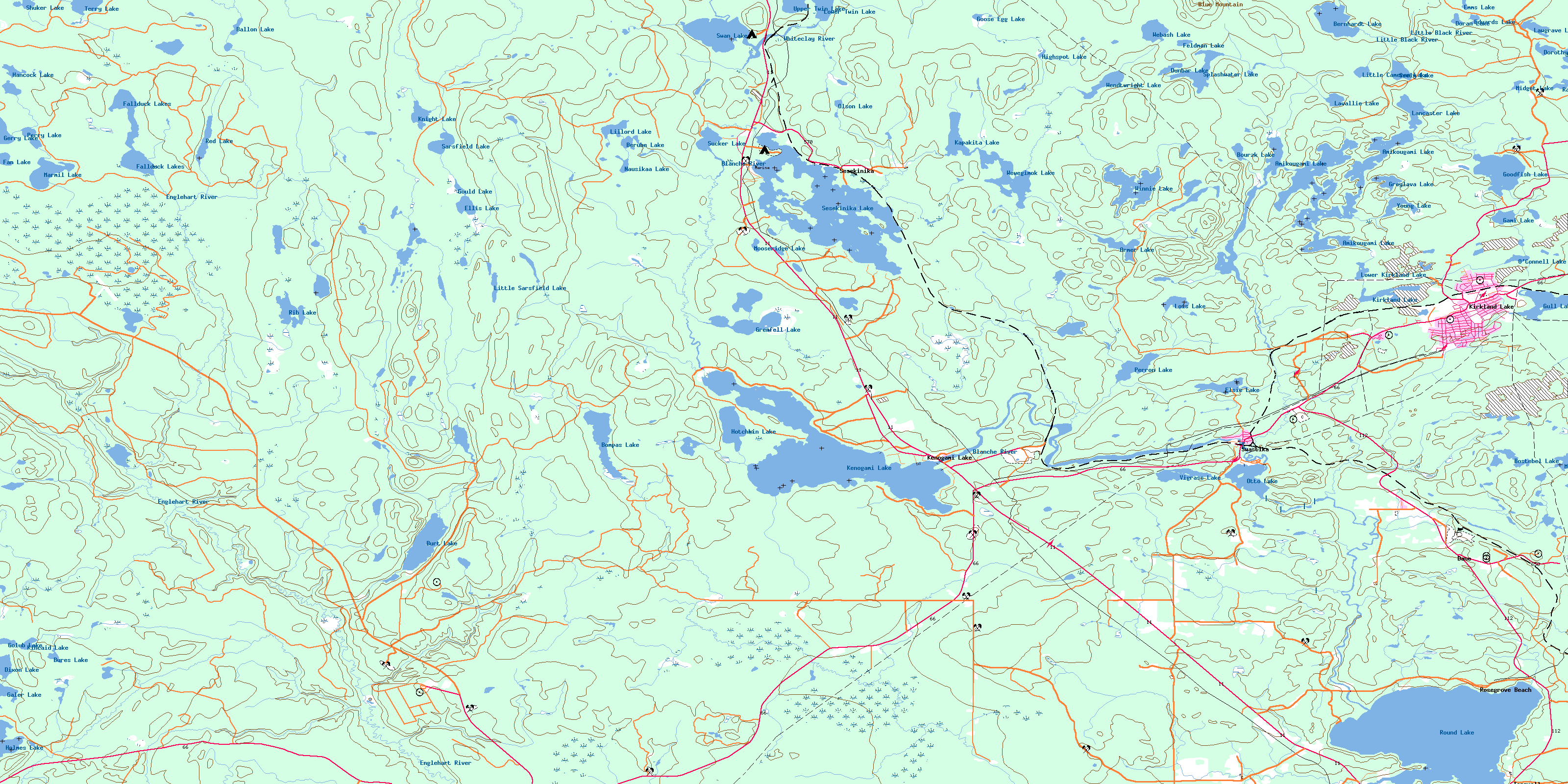
042A01 Kirkland Lake Topo Map
To view this map, mouse over the map preview on the right.
You can also download this topo map for free:
042A01 Kirkland Lake high-resolution topo map image.
Maps for the Kirkland Lake topo map sheet 042A01 at 1:50,000 scale are also available in these versions:
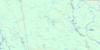
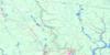
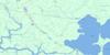
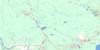
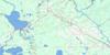
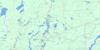
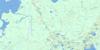
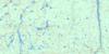
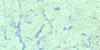
Kirkland Lake Surrounding Area Topo Maps
 |
 |
 |
 |
 |
 |
 |
 |
 |
 |
 |
 |
 |
 |
 |
 |
© Department of Natural Resources Canada. All rights reserved.
Kirkland Lake Gazetteer
The following places can be found on topographic map sheet 042A01 Kirkland Lake:
Kirkland Lake Topo Map: Bays
Centre ArmNortheast Arm
Northwest Arm
South Arm
Kirkland Lake Topo Map: Geographical areas
BernhardtBlain
Bompas
Boston
Burt
Dunmore
Eby
Flavelle
Grenfell
Gross
Holmes
Lebel
Lee
Maisonville
Marquis
Morrisette
Otto
Pacaud
Teck
Terry
Timiskaming
Kirkland Lake Topo Map: Islands
Arran IslandButte Island
Heather Island
Shamrock Island
Kirkland Lake Topo Map: Lakes
Amikougami LakeArmer Lake
Ballon Lake
Bernhardt Lake
Berube Lake
Bompas Lake
Bostebel Lake
Bourzk Lake
Bures Lake
Burt Lake
Clearaqua Lake
Dixon Lake
Doran Lake
Dorothy Lake
Dunbar Lake
Edwards Lake
Ellis Lake
Elsie Lake
Emms Lake
Fallduck Lakes
Fan Lake
Feldman Lake
Gale Lake
Galer Lake
Gami Lake
Gerry Lake
Golub Lake
Goodfish Lake
Goose Egg Lake
Gould Lake
Graves Lake
Grenfell Lake
Greylava Lake
Gull Lake
Hancock Lake
Highspot Lake
Holmes Lake
Hotchkin Lake
Joyce Lake
Kapakita Lake
Kenogami Lake
Kincaid Lake
Kirkland Lake
Knight Lake
Labine Lake
Lancaster Lake
Lavallie Lake
Lawgrave Lake
Lillord Lake
Little Cameron Lake
Little Sarsfield Lake
Lois Lake
Lower Kirkland Lake
Lower Twin Lake
Marmil Lake
McMurtry Lake
Midget Lake
Mooseridge Lake
Nausikaa Lake
O'Connell Lake
Olson Lake
Otto Lake
Perron Lake
Perry Lake
Peter Lake
Rathwell Lake
Red Lake
Rib Lake
Rodden Lake
Round Lake
Sarsfield Lake
Seely Lake
Sesekinika Lake
Shuker Lake
Splashwater Lake
Sucker Lake
Swan Lake
Terry Lake
Upper Twin Lake
Vigrass Lake
Webash Lake
Wendtwright Lake
Wewegimok Lake
Winnie Lake
Young Lake
Kirkland Lake Topo Map: Mountains
Blue MountainKirkland Lake Topo Map: Other municipal/district area - miscellaneous
TeckKirkland Lake Topo Map: Conservation areas
Dunmore Township Balsam Fir Outwash Deposit Conservation ReserveMasonville Bernhardt Muskeg Maple Moraine Conservation Reserve
Kirkland Lake Topo Map: Rivers
Amikougami CreekBlanche River
Burt Creek
Crooked Creek
Englehart River
Flavelle Creek
Gerry Creek
Goodfish Creek
Holmes Creek
Kapakita Creek
Kenaja Creek
Lillord Creek
Little Black River
Middleton Creek
Mooseridge Creek
Murdock Creek
Perron Creek
Rand Creek
Rib Creek
Sarsfield Creek
Splashwater Creek
Tolstoi Creek
Tomwool Creek
Wendtwright Creek
Whiteclay River
Wolf Creek
Woollings Creek
Kirkland Lake Topo Map: Towns
Kirkland LakeKirkland Lake Topo Map: Unincorporated areas
Chaput HughesDane
Goldthorpe
Kenogami Lake
Kenogami Lake Station
Rosegrove Beach
Sesekinika
Shaniko
Swastika
Tarzwell
Woollings Spur
© Department of Natural Resources Canada. All rights reserved.
042A Related Maps:
042A Timmins042A01 Kirkland Lake
042A02 Radisson Lake
042A03 Peterlong Lake
042A04 Kenogaming Lake
042A05 Dana Lake
042A06 Timmins
042A07 Watabeag River
042A08 Ramore
042A09 Matheson
042A10 Porquis Junction
042A11 Pamour
042A12 Kamiskotia Lake
042A13 Manning Lake
042A14 Buskegau River
042A15 Iroquois Falls
042A16 Low Bush
