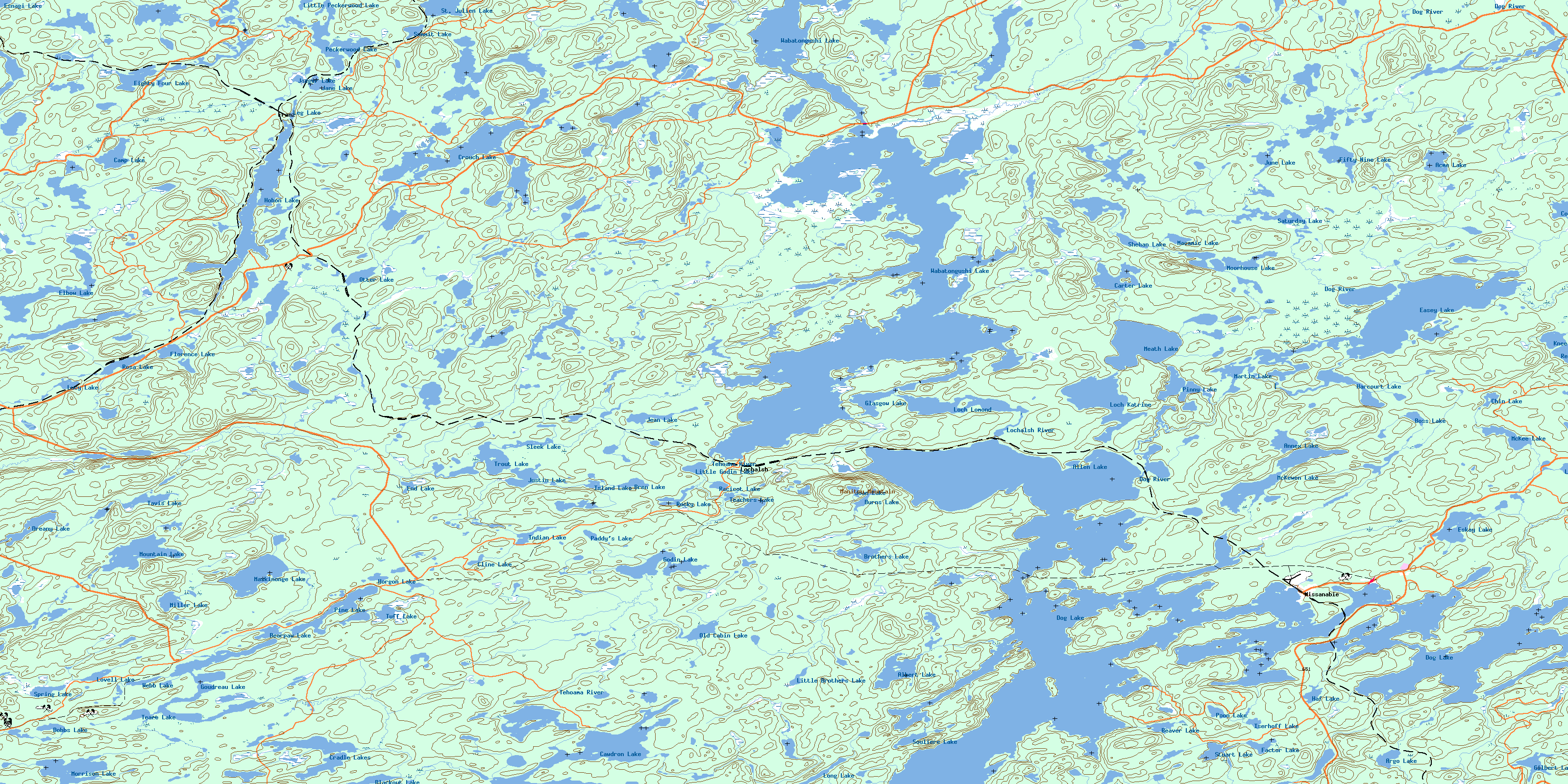
Franz Topo Map Online
Download Free Topo Map Sheet 042C08 at 1:50,000 scale
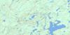
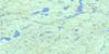
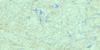
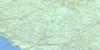
042C08 Franz Topo Map
To view this map, mouse over the map preview on the right.
You can also download this topo map for free:
042C08 Franz high-resolution topo map image.
Maps for the Franz topo map sheet 042C08 at 1:50,000 scale are also available in these versions:
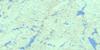
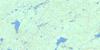
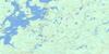
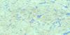
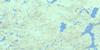
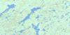
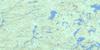
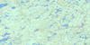
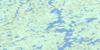
Franz Surrounding Area Topo Maps
 |
 |
 |
 |
 |
 |
 |
 |
 |
 |
 |
 |
 |
 |
 |
 |
© Department of Natural Resources Canada. All rights reserved.
Franz Gazetteer
The following places can be found on topographic map sheet 042C08 Franz:
Franz Topo Map: Bays
Core Shack BayEagle Bay
Eagle Nest Bay
Emily Bay
Fifty Seven Bay
Greenhorn Bay
Hay Bay
Indian Bay
Kathleen Bay
Lochalsh Bay
Moose Bay
Patterson Bay
Poacher's Bay
Sandy Bay
Sixty One Bay
Tie Bay
Franz Topo Map: Capes
Bear PointPatterson Point
Franz Topo Map: Channels
Dog Lake NarrowsThe Narrows
Franz Topo Map: Geographical areas
25,2626,26
27,26
44
45
46
47
48
49
51
52
Acton
Aguonie
Bird
Bruyere
Challener
Copenace
Finan
Glasgow
Huotari
Jacobson
Leguerrier
Marsh
Meath
Pearkes
Rennie
Riggs
St. Julien
Stover
West
Winget
Franz Topo Map: Indian Reserves
Missanabie 62Missanabie Indian Reserve 62
Réserve indienne Missanabie 62
Franz Topo Map: Islands
Carpenter's IslandChris Island
Fox Island
Mildred's Island
Patterson Island
Rabbit Island
Franz Topo Map: Lakes
Acme LakeAitken Lake
Albert Lake
Allen Lake
Aloft Lake
Annex Lake
Argo Lake
Arm Lake
Barry Lake
Bearpaw Lake
Beaver Lake
Blackout Lake
Boss Lake
Bren Lake
Brothers Lake
Burns Lake
Camp Lake
Carter Lake
Cawdron Lake
Chin Lake
Cline Lake
Cormick Lake
Cradle Lakes
Crouch Lake
Dobbs Lake
Dog Lake
Dreany Lake
Easey Lake
Eighty Four Lake
Elbow Lake
End Lake
Eskay Lake
Esnagi Lake
Factor Lake
Fifty Nine Lake
Florence Lake
Gilbert Lake
Glasgow Lake
Godin Lake
Goudreau Lake
Haf Lake
Hal Lake
Harcourt Lake
Hobon Lake
Horgon Lake
Indian Lake
Iserhoff Lake
Island Lake
Jaeger Lake
Jane Lake
Jean Lake
Joan Lake
June Lake
Justin Lake
Knee Lake
Lac Goudreau
Lanceley Lake
Leg Lake
Little Brothers Lake
Little Godin Lake
Little Peckerwood Lake
Loch Katrine
Loch Lomond
Long Lake
Loughlin Lake
Lovell Lake
Lucy Lake
Macamic Lake
Mal Lake
Martin Lake
Maskinonge Lake
McKee Lake
McKewen Lake
Meath Lake
Miller Lake
Moorhouse Lake
Morrison Lake
Mountain Lake
Murray Lake
Old Cabin Lake
Otter Lake
Paddy's Lake
Peckerwood Lake
Pine Lake
Pinny Lake
Poon Lake
Racicot Lake
Ren Lake
Rocky Lake
Rosa Lake
Saturday Lake
Shehan Lake
Sleek Lake
Souliere Lake
Spring Lake
Squaw Lake
St. Julien Lake
Strobus Lake
Stuart Lake
Summit Lake
Tavis Lake
Teachers Lake
Teare Lake
Trout Lake
Tuff Lake
Wabatongushi Lake
Webb Lake
Franz Topo Map: Mountains
Manitou MountainFranz Topo Map: Rivers
Brothers CreekButler Creek
Cawdron Creek
Cormick Creek
Cradle Creek
Crouch Creek
Dog River
Fitzpatrick Creek
Goudreau Creek
Hobon Creek
Little Brothers Creek
Lochalsh River
McKee Creek
McVeigh Creek
Peckerwood Creek
Stover Creek
Tehoama River
Franz Topo Map: Shoals
Twin RocksFranz Topo Map: Unincorporated areas
FranzGutelius
Lochalsh
Missanabie
Otter
Pick
Wanda
© Department of Natural Resources Canada. All rights reserved.
042C Related Maps:
042C White River042C01 Manitowik Lake
042C02 Hawk Junction
042C03 Mishibishu Lake
042C04 Pukaskwa River
042C05 Lurch Lake
042C06 Pokei Lake
042C07 Medhurst Creek
042C08 Franz
042C09 Oba Lake
042C10 Anahareo Lake
042C11 White River
042C12 Cedar Lake
042C13 White Lake
042C14 Kwinkwaga Lake
042C15 Gourlay Lake
042C16 Kabinakagami Lake
