Grebe Point Topo Map Online
Download Free Topo Map Sheet 042D12 at 1:50,000 scale
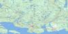
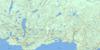
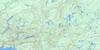
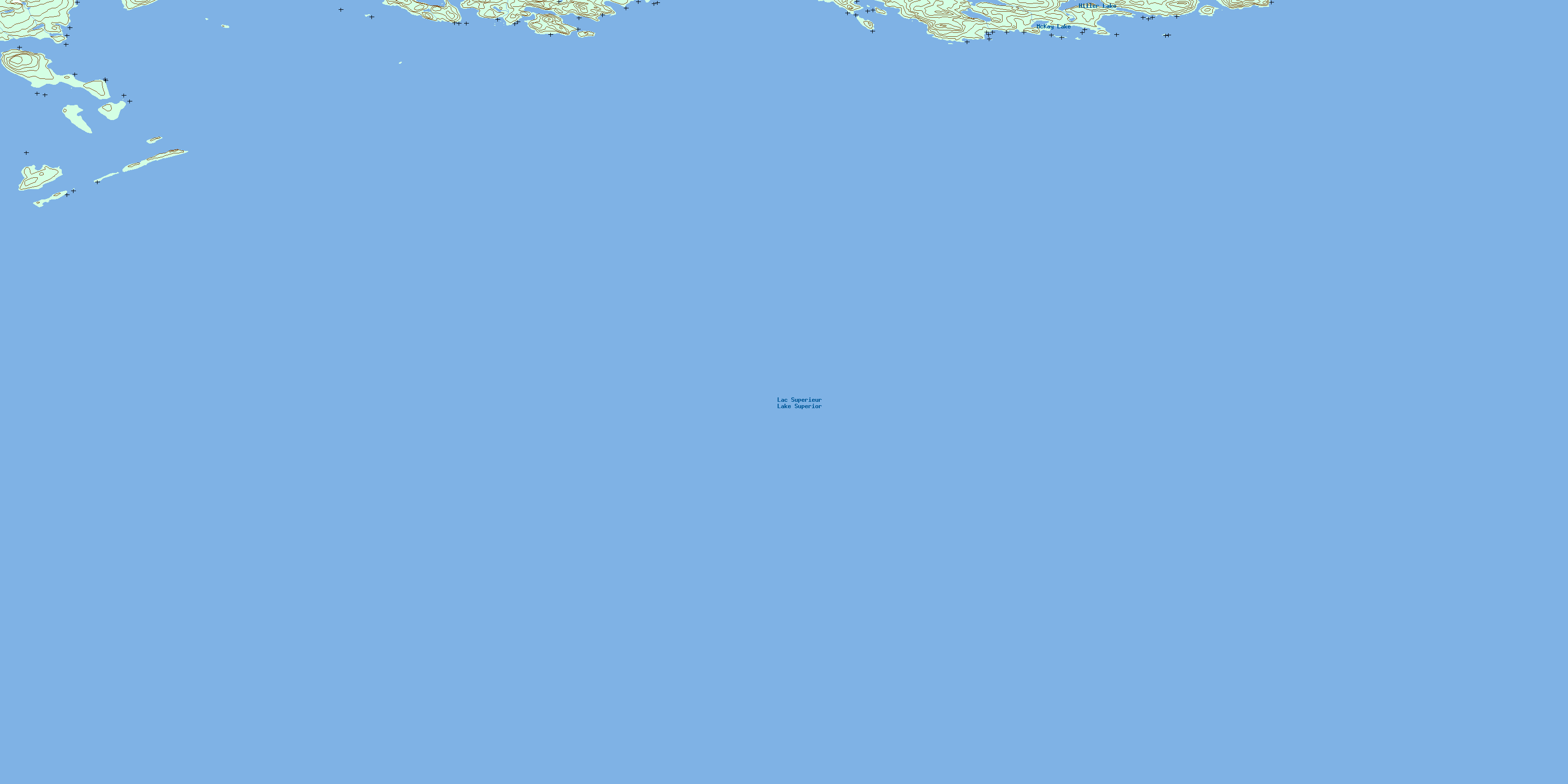
042D12 Grebe Point Topo Map
To view this map, mouse over the map preview on the right.
You can also download this topo map for free:
042D12 Grebe Point high-resolution topo map image.
Maps for the Grebe Point topo map sheet 042D12 at 1:50,000 scale are also available in these versions:
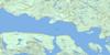
Grebe Point Surrounding Area Topo Maps
 |
 |
 |
 |
 |
 |
 |
 |
 |
|||
 |
© Department of Natural Resources Canada. All rights reserved.
Grebe Point Gazetteer
The following places can be found on topographic map sheet 042D12 Grebe Point:
Grebe Point Topo Map: Bays
Armour HarbourBullers Bay
Duncan Cove
French Harbour
McKay Cove
McNab Harbour
Morn Harbour
Woodbine Harbour
Grebe Point Topo Map: Capes
Beetle PointBullers Point
Dupuis Point
Grebe Point
McNab Peninsula
McNab Point
Morn Point
Pope Point
Grebe Point Topo Map: Channels
Bullers GapSimpson Channel
Grebe Point Topo Map: Islands
Agate IslandAngelica Island
Armour Island
Bowman Island
Bullers Island
Burnet Island
Dunmore Island
Giraoud Island
Legault Island
Longcroft Island
Mooley Island
Nest Island
Owl Island
Paradise Island
Raven Island
Raymond Island
Reid Island
Rowen Island
Simpson Island
St. Ignace Island
St. Joe Islands
Talbot Island
Grebe Point Topo Map: Lakes
Hiller LakeLac Supérieur
Lake Superior
Lesarge Lake
McKay Lake
Grebe Point Topo Map: Conservation areas
Agate Island Wilderness AreaGrebe Point Topo Map: Shoals
Josephine ShoalLegault's Rock
Thorne Shoal
Whelan Shoal
© Department of Natural Resources Canada. All rights reserved.
