Goodchild Lake Topo Map Online
Download Free Topo Map Sheet 042D16 at 1:50,000 scale
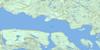
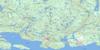
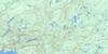
042D16 Goodchild Lake Topo Map
To view this map, mouse over the map preview on the right.
You can also download this topo map for free:
042D16 Goodchild Lake high-resolution topo map image.
Maps for the Goodchild Lake topo map sheet 042D16 at 1:50,000 scale are also available in these versions:
Goodchild Lake Surrounding Area Topo Maps
 |
 |
 |
 |
 |
 |
 |
 |
 |
|||
 |
© Department of Natural Resources Canada. All rights reserved.
Goodchild Lake Gazetteer
The following places can be found on topographic map sheet 042D16 Goodchild Lake:
Goodchild Lake Topo Map: Bays
Beatty CoveCarden Cove
Craddock Cove
Peninsula Bay
Peninsula Harbour
Port Munro
Red Sucker Cove
Sturdee Cove
Goodchild Lake Topo Map: Capes
Charleroi PointMons Point
Goodchild Lake Topo Map: Geographical areas
7576
77
Cotte
McCoy
O'Neill
Pic
Goodchild Lake Topo Map: Islands
Glasgow IslandGood Hope Island
Maw Island
Monmouth Island
Goodchild Lake Topo Map: Lakes
Alberta LakeBamoos Lake
Beggs Lake
Bill Lake
Birston Lake
Boyer Lake
Budall Lake
Cawanogami Lake
Cirrus Lake
Coubran Lake
Craddock Lake
Dewey Lake
Fallen Lake
Fourbay Lake
Geordie Lake
Goodchild Lake
Gowan Lake
Hare Lake
Harriet Lake
Huck Lake
Jim Lake
Kday Lake
Lac Supérieur
Lacobeer Lake
Lake Superior
Lineal Lake
Little Alice Lake
Little Harriet Lake
Little Martinet Lakes
Lola Lake
Long Alice Lake
Lorna Lake
Louis Lake
Madoson Lake
Malpa Lake
Martinet Lake
My Lake
Nellie Lake
North Skipper Lake
Page Lake
Peacock Lake
Pukatawagan Lake
Rag Lakes
Red Sucker Lake
Roccian Lake
Runnalls Lake
Seeley Lake
Shack Lake
Skipper Lake
Sprucetop Lake
Swede Lake
Talus Lake
Teddybear Lake
Terru Lake
Two Finger Lake
Veronica Lake
Willie Lake
Wire Lake
Wolf Camp Lake
Goodchild Lake Topo Map: Mountains
Bamoos MountainSeeley Mountain
Goodchild Lake Topo Map: Conservation areas
Isko Dewabo Lake Complex Conservation ReserveRed Sucker Point Provincial Nature Reserve
Goodchild Lake Topo Map: Rivers
Abe CreekAlberta Creek
Angler Creek
Bamoos Creek
Cirrus Creek
Craddock Creek
Fallen Creek
Fourbay Creek
Goodchild Creek
Gowan Creek
Hare Creek
Harriet Creek
Huck Creek
Jim Creek
Joe Creek
Lacobeer Creek
Lineal Creek
Little Joe Creek
Little Martinet Creek
Little Pic River
Little Red Sucker Creek
Martinet Creek
Mink Creek
Mink River
Peacock Creek
Pic River
Pukatawagan Creek
Red Sucker Creek
Red Sucker Creek
Seeley Creek
Skipper Creek
Spruce Creek
Swede Creek
Wire Creek
Goodchild Lake Topo Map: Towns
Marathon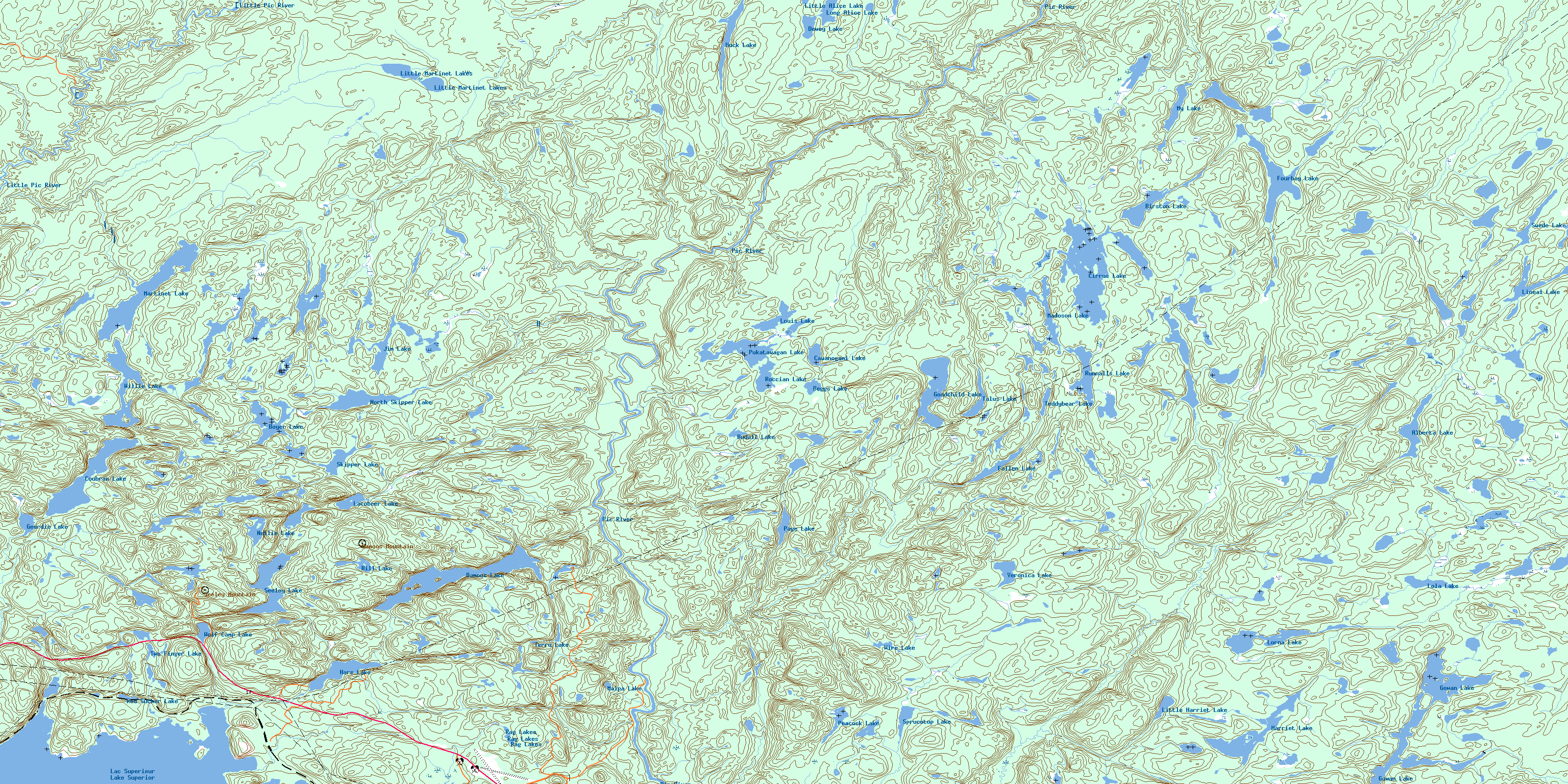
© Department of Natural Resources Canada. All rights reserved.
