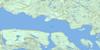
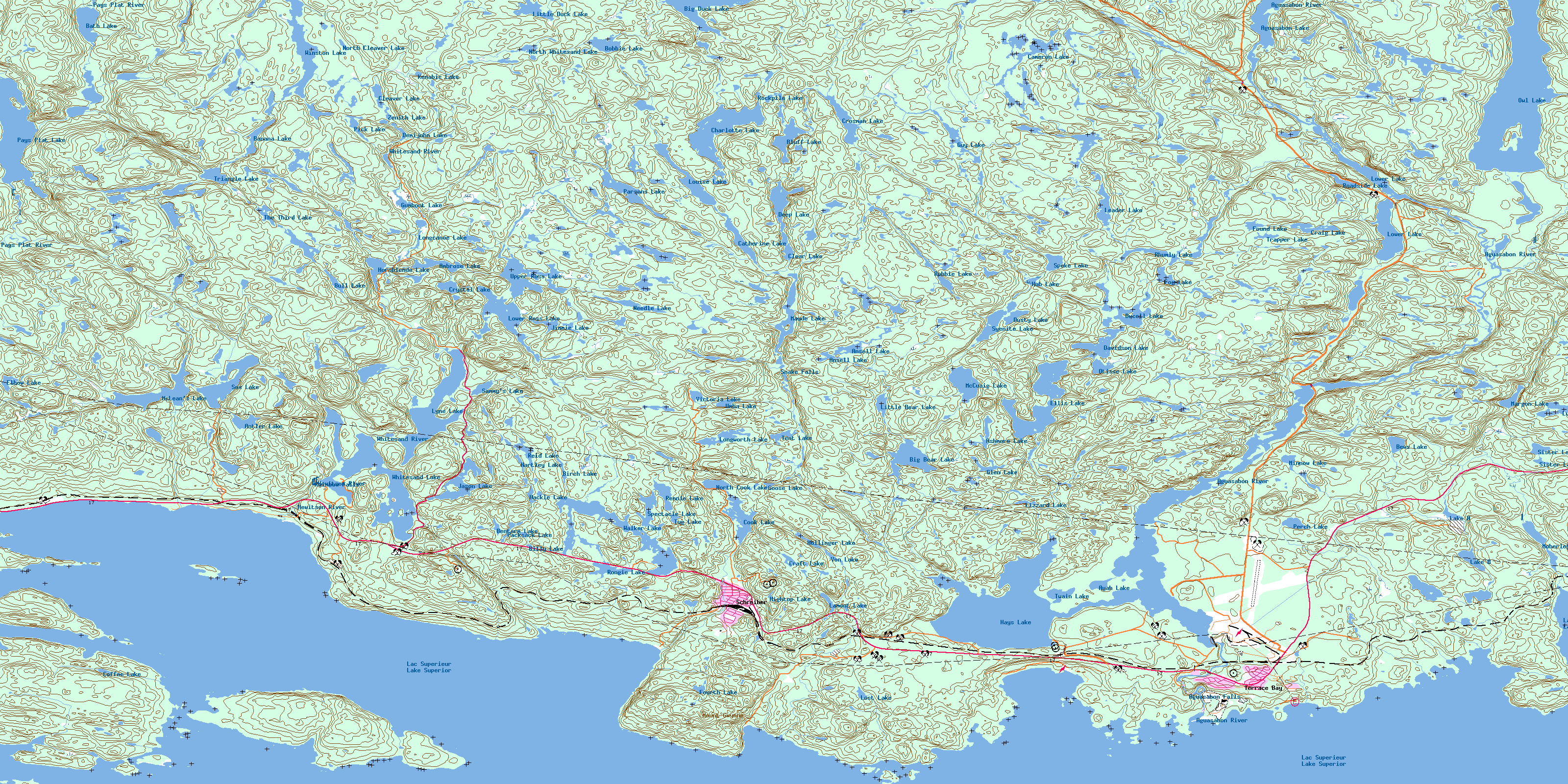
Schreiber Topo Map Online
Download Free Topo Map Sheet 042D14 at 1:50,000 scale
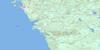
042D14 Schreiber Topo Map
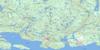
To view this map, mouse over the map preview on the right.
You can also download this topo map for free:
042D14 Schreiber high-resolution topo map image.
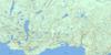
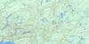
Maps for the Schreiber topo map sheet 042D14 at 1:50,000 scale are also available in these versions:
Schreiber Surrounding Area Topo Maps
 |
 |
 |
 |
 |
 |
 |
 |
 |
|||
 |
© Department of Natural Resources Canada. All rights reserved.
Schreiber Gazetteer
The following places can be found on topographic map sheet 042D14 Schreiber:
Schreiber Topo Map: Bays
Barr Island HarbourBoat Harbour
Cape Harbour
Collingwood Bay
Colpoy's Bay
Jackfish Bay
Kelly's Harbour
Lily Bay
Lindsays Harbour
Little Lake Harbour
Lyda Bay
Mary Ann Bay
Moberley Bay
Moberly Bay
Noname Bay
Small Lake Harbour
Terrace Bay
Twin Harbours
Victoria Bay
Wilson Island Harbour
Worthington Bay
Schreiber Topo Map: Beaches
Schreiber BeachSchreiber Topo Map: Capes
Boswell's PointCape Victoria
Copper Point
Flat Point
Lindsay Head
Schreiber Point
Winston Point
Schreiber Topo Map: Channels
Jackfish ChannelLes Petits Ecrits Channel
Schreiber Channel
Steamboat Channel
Swedes Gap
Schreiber Topo Map: Falls
Aguasabon FallsRainbow Falls
Snake Falls
Schreiber Topo Map: Geographical areas
8283
84
85
86
Killraine
Lahontan
Priske
Strey
Syine
Schreiber Topo Map: Islands
Barr IslandBell Island
Blain Island
Boone Island
Burnt Island
Cat Islands
Channel Island
Cobinosh Island
Cody Island
Confiance Island
Copper Island
Douglas Island
Flint Island
Garnet Island
Healey Island
Kingcome Island
Les Petits Ecrits
Old Ned Island
Rock Island
Steamboat Island
Taylor Island
Wilson Island
Schreiber Topo Map: Lakes
Aguasabon LakeAmbrose Lake
Ansell Lake
Antler Lake
Ashmore Lake
Ayah Lake
Banana Lake
Bath Lake
Bentarm Lake
Bews Lake
Big Bear Lake
Big Bruin Lake
Big Duck Lake
Billy Lake
Birch Lake
Bluff Lake
Bobbie Lake
Bull Lake
Cameron Lake
Catherine Lake
Charlotte Lake
Clear Lake
Cleaver Lake
Coffee Lake
Cook Lake
Craft Lake
Craig Lake
Crosman Lake
Crystal Lake
Davidson Lake
Deep Lake
Demijohn Lake
Ducell Lake
Dusty Lake
East Pond
Elbow Lake
Ellis Lake
Fog Lake
Found Lake
Fourth Lake
Garter Lake
Glen Lake
Goose Lake
Gumboot Lake
Guy Lake
Hackle Lake
Hartley Lake
Hays Lake
Hightop Lake
Hollinger Lake
Hornblende Lake
Hub Lake
Jason Lake
Jimmie Lake
Kate Lake
Kenabic Lake
Lac Supérieur
Lake A
Lake B
Lake Superior
Lamont Lake
Leader Lake
Little Bear Lake
Little Bruin Lake
Little Duck Lake
Lizzard Lake
Longcanoe Lake
Longworth Lake
Lost Lake
Louise Lake
Lower Lake
Lower Ross Lake
Lunch Lake
Lyne Lake
Margon Lake
Maude Lake
McCuaig Lake
McLean's Lake
Minnow Lake
Moberley Lake
Needle Lake
North Cleaver Lake
North Cook Lake
North Whitesand Lake
Otisse Lake
Owl Lake
Packsack Lake
Parsons Lake
Pays Plat Lake
Perch Lake
Pick Lake
Ranger Lake
Reid Lake
Reid Lake
Rennie Lake
Rhea Lake
Rhea Lake
Rhumly Lake
Roadside Lake
Robbie Lake
Rockpile Lake
Rongie Lake
Sammy's Lake
Sand Lake
Sister Lakes
Sox Lake
Spectacle Lake
Spoke Lake
Syenite Lake
Tent Lake
Terrace Lake
The Third Lake
Trapper Lake
Triangle Lake
Tug Lake
Twain Lake
Umba Lake
Upper Ross Lake
Victoria Lake
Von Lake
Walker Lake
West Pond
Whitesand Lake
Winston Lake
Zenith Lake
Schreiber Topo Map: Mountains
Mount GwynneWalker Lake Hill
Schreiber Topo Map: Other municipal/district area - miscellaneous
SchreiberTerrace Bay
Schreiber Topo Map: Conservation areas
Gravel River Conservation ReserveLake Superior North Shore Conservation Reserve
Rainbow Falls Provincial Park
Schreiber Channel Provincial Nature Reserve
Schreiber Topo Map: Rivers
Aguasabon RiverAnsell Creek
Big Duck Creek
Blackbird Creek
Blind Creek
Cameron Creek
Cameron Creek
Crosman Creek
Fog Creek
Harvie Creek
Hewitson River
Margon Creek
McCuaig Creek
McLean's Creek
Owl Creek
Pays Plat River
Robbie Creek
Ross Creek
Sox Creek
Sox Creek
Stony Creek
Syenite Creek
Walker Creek
Walker Creek
Whitesand River
Whitesand River
Winston Creek
Worthington Creek
Schreiber Topo Map: Shoals
Almos ShoalChase Rock
Keith Rocks
McGarvey Shoal
Spider Reef
Schreiber Topo Map: Unincorporated areas
SchreiberSelim
Terrace Bay
Schreiber Topo Map: Valleys
Aguasabon GorgeDeath Valley
© Department of Natural Resources Canada. All rights reserved.
