Slate Islands Topo Map Online
Download Free Topo Map Sheet 042D11 at 1:50,000 scale
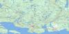
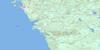
042D11 Slate Islands Topo Map
To view this map, mouse over the map preview on the right.
You can also download this topo map for free:
042D11 Slate Islands high-resolution topo map image.
Maps for the Slate Islands topo map sheet 042D11 at 1:50,000 scale are also available in these versions:
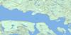
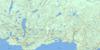
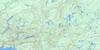
Slate Islands Surrounding Area Topo Maps
 |
 |
 |
 |
 |
 |
 |
 |
 |
|||
 |
© Department of Natural Resources Canada. All rights reserved.
Slate Islands Gazetteer
The following places can be found on topographic map sheet 042D11 Slate Islands:
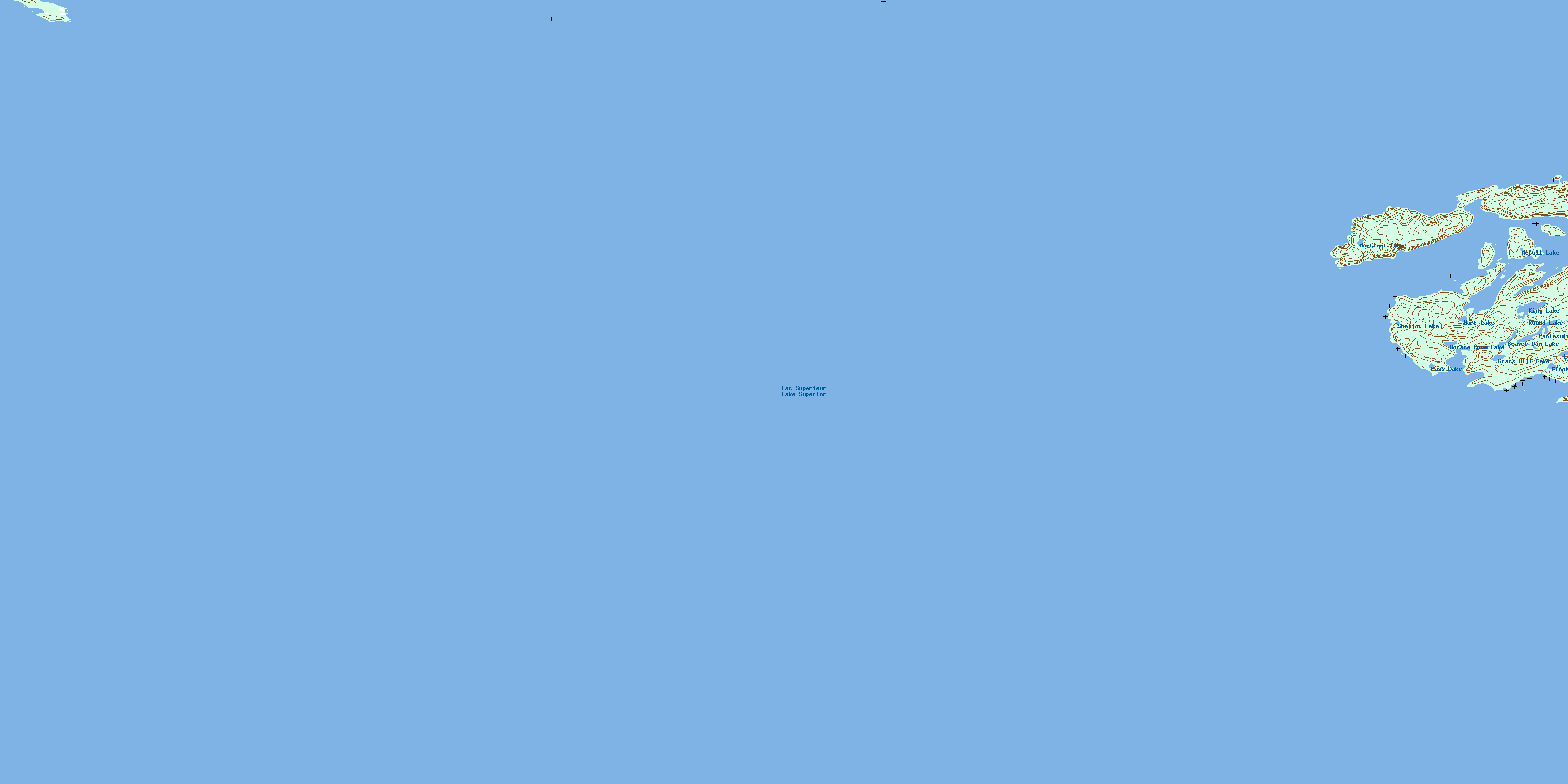
Slate Islands Topo Map: Bays
Copper HarbourGolden Slipper
Horace Cove
Jacks Bay
Lambton Cove
Lawrence Bay
McGreevy Harbour
Slate Harbour
Slate Islands Topo Map: Capes
Barnard PointHorace Point
Sunday Point
William Point
Slate Islands Topo Map: Channels
Jackfish ChannelSlate Islands Topo Map: Islands
Bowes IslandBurk Island
Burk Islet
Cobinosh Island
Edmonds Island
Jacks Island
Jacks Islet
Les Petits Ecrits
McColl Island
Mortimer Island
Patterson Island
Slate Islands
Slate Islands Topo Map: Lakes
Beaver Dam LakeFlood Lake
Grass Hill Lake
Hart Lake
Horace Cove Lake
King Lake
Lac Supérieur
Lake Superior
Long Lake
McColl Lake
Mortimer Lake
Pass Lake
Peninsula Lake
Round Lake
Shallow Lake
Slate Islands Topo Map: Other municipal/district area - miscellaneous
Terrace BaySlate Islands Topo Map: Conservation areas
Lake Superior North Shore Conservation ReserveSlate Islands Provincial Park
Slate Islands Topo Map: Shoals
Bread RockDahl Shoal
Frank Rock
Kate Rock
© Department of Natural Resources Canada. All rights reserved.
