Marathon Topo Map Online
Download Free Topo Map Sheet 042D09 at 1:50,000 scale
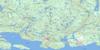
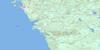
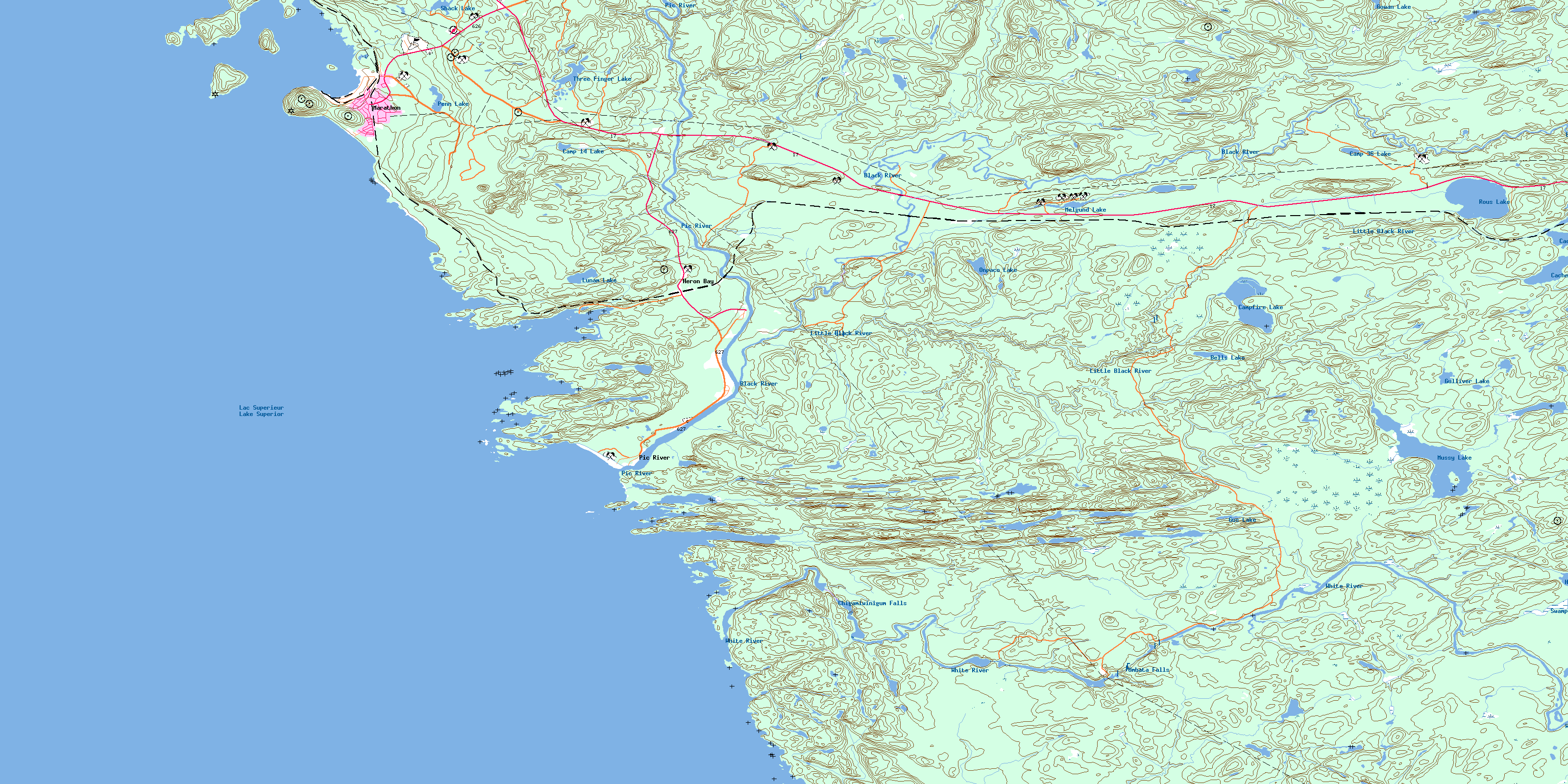
042D09 Marathon Topo Map
To view this map, mouse over the map preview on the right.
You can also download this topo map for free:
042D09 Marathon high-resolution topo map image.
Maps for the Marathon topo map sheet 042D09 at 1:50,000 scale are also available in these versions:
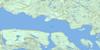
Marathon Surrounding Area Topo Maps
 |
 |
 |
 |
 |
 |
 |
 |
 |
|||
 |
© Department of Natural Resources Canada. All rights reserved.
Marathon Gazetteer
The following places can be found on topographic map sheet 042D09 Marathon:
Marathon Topo Map: Bays
Beatty CoveCarden Cove
Happy Harbour
Hattie Cove
Heron Bay
Island Harbour
Jellicoe Cove
Mud Bay
Peninsula Bay
Peninsula Harbour
Picture Rock Harbour
Pitch Rock Harbour
Playter Harbour
Prospect Cove
Pulpwood Harbour
Marathon Topo Map: Capes
Campbell PointNeuve Chapelle Point
Randle Point
The Peninsula
Ypres Point
Yser Point
Marathon Topo Map: Falls
Chigamiwinigum FallsUmbata Falls
Marathon Topo Map: Geographical areas
7475
77
Cotte
Lecours
McCoy
Pic
Thunder Bay
Marathon Topo Map: Indian Reserves
Pic River 50Pic River Indian Reserve 50
Réserve indienne Pic River 50
Marathon Topo Map: Islands
Blondin IslandC.P.R. Island
Channel Island
Dampier Islands
Hawkins Island
Ogilvy Point
Picture Island
Skin Island
Marathon Topo Map: Lakes
Bells LakeCache Lake
Camp 14 Lake
Camp 36 Lake
Campfire Lake
Elk Lake
Ell Lake
Gowan Lake
Gulliver Lake
Gus Lake
Hayward Lake
Lac Supérieur
Lake Superior
Log Pond
Lunam Lake
Melgund Lake
Mussy Lake
Onpaco Lake
Pen Lake
Penn Lake
Rous Lake
Shack Lake
Swamp Lake
Three Finger Lake
Marathon Topo Map: Mountains
Peninsula HillMarathon Topo Map: Conservation areas
Craig's Pit Provincial Nature ReserveParc national du Canada Pukaskwa
Pukaskwa National Park of Canada
Marathon Topo Map: Natural resources sites
Craigs PitMarathon Topo Map: Rivers
Black RiverBrush Creek
Camp 14 Creek
Campfire Creek
Gowan Creek
Gulliver Creek
Gus Creek
Hayward Creek
Jordon Creek
Little Black River
Melgund Creek
Mussy Creek
Onpaco Creek
Pic River
Spruce Creek
Swede Creek
White River
Marathon Topo Map: Road features
Chigamiwinigum PortageUmbata Portage
Marathon Topo Map: Shoals
Boulton ReefKeating Rock
Lash Rock
Manitoba Shoal
Meaux Shoal
Senlis Shoal
Uncle Bobs Bank
Marathon Topo Map: Towns
MarathonMarathon Topo Map: Unincorporated areas
Heron BayMarathon
Melgund
Pic River
Pringle
© Department of Natural Resources Canada. All rights reserved.
