Rossport Topo Map Online
Download Free Topo Map Sheet 042D13 at 1:50,000 scale
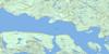
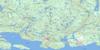
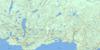
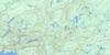
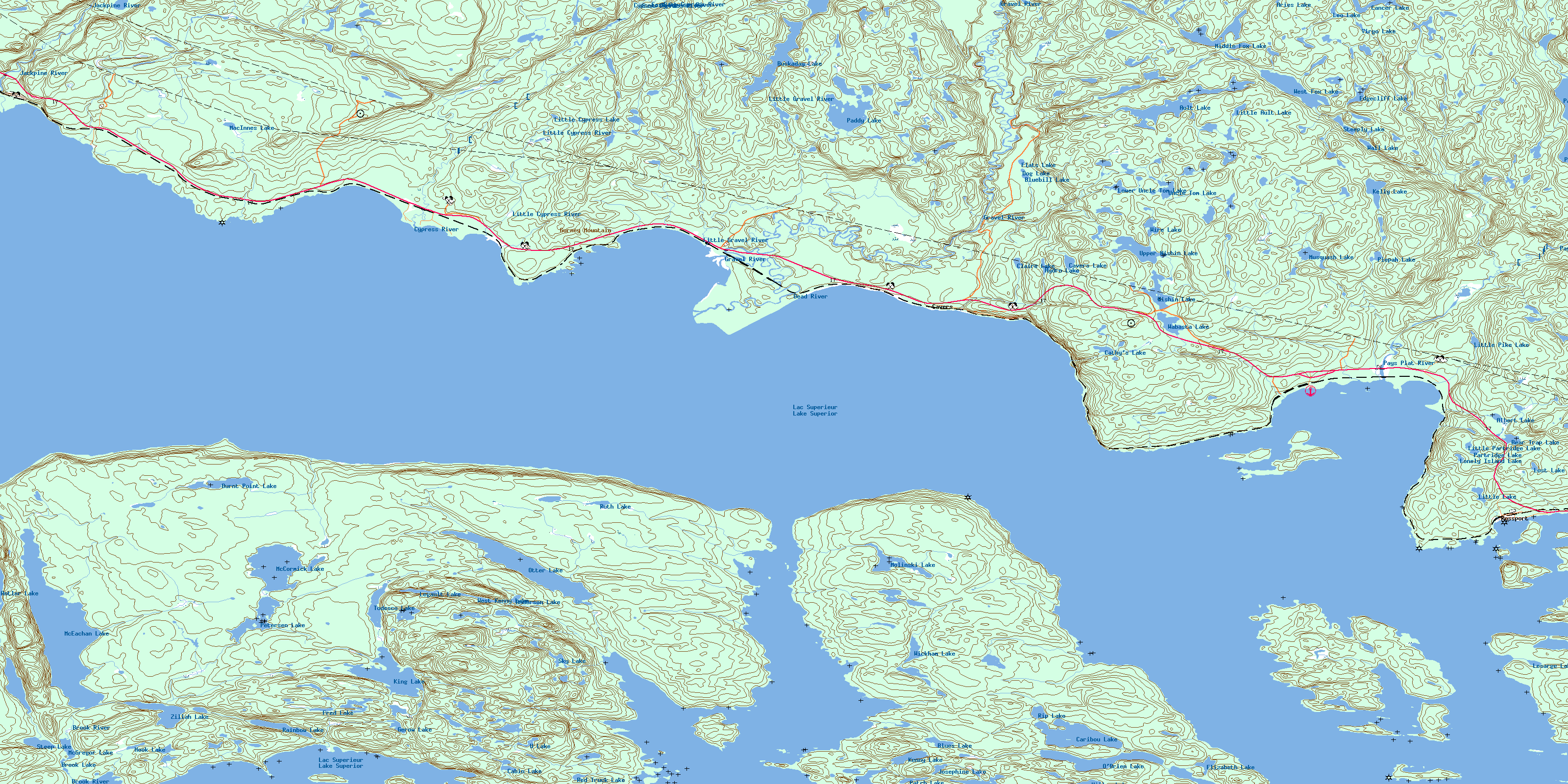
042D13 Rossport Topo Map
To view this map, mouse over the map preview on the right.
You can also download this topo map for free:
042D13 Rossport high-resolution topo map image.
Maps for the Rossport topo map sheet 042D13 at 1:50,000 scale are also available in these versions:
Rossport Surrounding Area Topo Maps
 |
 |
 |
 |
 |
 |
 |
 |
 |
|||
 |
© Department of Natural Resources Canada. All rights reserved.
Rossport Gazetteer
The following places can be found on topographic map sheet 042D13 Rossport:
Rossport Topo Map: Bays
Armour HarbourCavers Bay
Chubby Harbour
Chummy's Harbour
Cypress Bay
Duncan Cove
French Harbour
Gravel Bay
Little Lake Harbour
Mary Ann Bay
Mileage 19 Bay
Morn Harbour
Mountain Bay
Nipigon Bay
Oldmans Pocket
Pays Plat Bay
Rossport Harbour
Salter's Bay
St. Ignace Harbour
Wickham Bay
Wilson Island Harbour
Woodbine Harbour
Rossport Topo Map: Capes
Bignell PointBurnt Point
Cape Nano
Chummy's Point
Crow Point
Daylight Point
Finch Head
Finch Point
Fraser Point
Grant Point
Gravel Point
Grotto Point
Gurney Point
Gut Point
MacInnes Point
Nuttal Point
Rainboth Point
Ranger Point
Rossport Point
Wieben's Point
Rossport Topo Map: Channels
Bead Island ChannelMoffat Strait
Schreiber Channel
Simpson Channel
Steamboat Channel
Wilson Channel
Rossport Topo Map: Geographical areas
8687
88
89
90
91
Lahontan
Lett
McAllister
Patience
Wiggins
Yesno
Rossport Topo Map: Indian Reserves
Pays Plat 51Pays Plat Indian Reserve 51
Réserve indienne Pays Plat 51
Rossport Topo Map: Islands
Anguros IslandArmour Island
Battle Island
Bead Island
Blanket Island
Boone Island
Cebina Island
Channel Island
Chummy's Island
Harry Island
Healey Island
Hope Island
Larson Island
Leon Island
Minnie Island
Nicol Island
Powder Islands
Quarry Island
Quigley Island
Salter Island
Simpson Island
St. Ignace Island
St. Joe Islands
Vein Island
West Anguros Island
Whiskey Island
Wilson Island
Rossport Topo Map: Lakes
Albert LakeAnderson Lake
Antler Lake
Aries Lake
Ault Lake
Bear Trap Lake
Bluebill Lake
Blues Lake
Brook Lake
Buckaday Lake
Burnt Point Lake
Cabin Lake
Cancer Lake
Caribou Lake
Cathy's Lake
Cavers Lake
Claire Lake
Dog Lake
Edgecliff Lake
Elizabeth Lake
Flats Lake
Fred Lake
Gerow Lake
Hiller Lake
Hook Lake
Hydro Lake
Josephine Lake
Kelly Lake
Kenny Lake
King Lake
Lac Supérieur
Lake Superior
Legault Lake
Leo Lake
Lesarge Lake
Little Ault Lake
Little Cypress Lake
Little Lake
Little Partridge Lake
Little Pike Lake
Lonely Island Lake
Lost Lake
Lower Uncle Tom Lake
MacInnes Lake
McCormick Lake
McEachan Lake
McGregor Lake
Middle Fox Lake
Molinski Lake
Musquash Lake
Nishin Lake
O'Brien Lake
Otter Lake
Paddy Lake
Partridge Lake
Patch Lake
Pays Plat Lake
Petersen Lake
Piepah Lake
Rainbow Lake
Red Truck Lake
Rip Lake
Ruth Lake
Sky Lake
Steep Lake
Steeply Lake
Tedesco Lake
Todesco Lake
U Lake
Uncle Tom Lake
Upper Nishin Lake
Virgo Lake
Wabasta Lake
Wall Lake
West Fox Lake
West Kenny Lake
Wickham Lake
Wire Lake
Zillah Lake
Rossport Topo Map: Mountains
Cavers HillGurney Mountain
Kama Hills
Nineteen Hill
Pays Plat Hill
Rossport Topo Map: Conservation areas
Gravel River Conservation ReserveGravel River Provincial Nature Reserve
Kama Cliffs Conservation Reserve
Lake Superior North Shore Conservation Reserve
Rossport Topo Map: Rivers
Antler CreekAult Creek
Brook River
Cypress River
Dead River
Dublin Creek
East Cypress River
East Fox Creek
Eastfox Creek
Gravel River
Jackpine River
Little Cypress River
Little Gravel River
Little Pays Plat Creek
Little Pays Plat River
MacInnes Creek
Molinski Creek
Morrisan Creek
Nagunagisic Creek
Naomikan River
Nishin Creek
Paddy Creek
Pays Plat River
Petersen Creek
Tedesco Creek
Todesco Creek
Uncle Tom Creek
Wesley Creek
West Fox Creek
Wickham Creek
Willie Whites Creek
Rossport Topo Map: Shoals
Barwis RockBrulé Shoal
Brûlé Shoal
Druid Rock
Fisher Rock
Lakeside Shoal
Oldman Shoal
Powder Shoal
Rolette Shoal
Tracy Shoal
Rossport Topo Map: Unincorporated areas
CaversDublin
Gravel
Gurney
Pays Plat
Pays Plat
Rossport
© Department of Natural Resources Canada. All rights reserved.
