Woman Falls Topo Map Online
Download Free Topo Map Sheet 042G02 at 1:50,000 scale
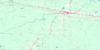
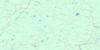
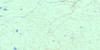
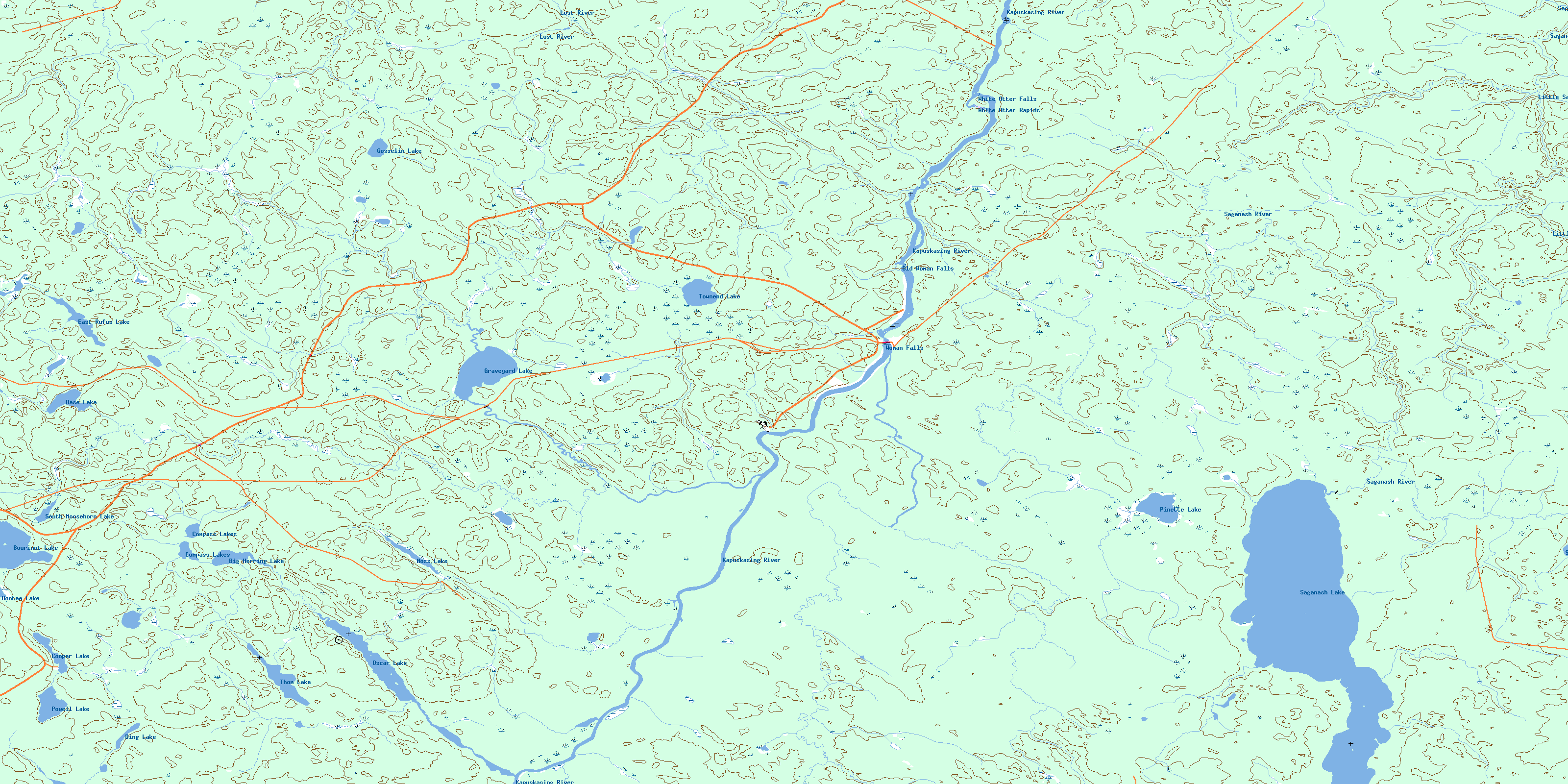
042G02 Woman Falls Topo Map
To view this map, mouse over the map preview on the right.
You can also download this topo map for free:
042G02 Woman Falls high-resolution topo map image.
Maps for the Woman Falls topo map sheet 042G02 at 1:50,000 scale are also available in these versions:
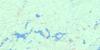
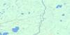
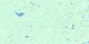
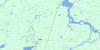
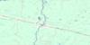
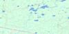
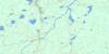
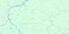
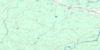
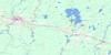
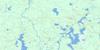
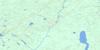
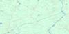
Woman Falls Surrounding Area Topo Maps
 |
 |
 |
 |
 |
 |
 |
 |
 |
 |
 |
 |
 |
 |
 |
 |
© Department of Natural Resources Canada. All rights reserved.
Woman Falls Gazetteer
The following places can be found on topographic map sheet 042G02 Woman Falls:
Woman Falls Topo Map: Falls
Old Woman FallsWhite Otter Falls
Woman Falls
Woman Falls Topo Map: Geographical areas
BourinotCargill
Concobar
Ecclestone
Fenton
Oscar
Shanly
Staples
Sulman
Woman Falls Topo Map: Islands
White Otter IslandWoman Falls Topo Map: Lakes
Base LakeBig Herring Lake
Bootee Lake
Bourinot Lake
Carl Lake
Compass Lakes
Cooper Lake
Ding Lake
East Rufus Lake
Gosselin Lake
Graveyard Lake
Moss Lake
Oscar Lake
Pinette Lake
Powell Lake
Saganash Lake
South Moosehorn Lake
Staples Lake
Thom Lake
Townend Lake
Woman Falls Topo Map: Conservation areas
Shanly Creek Drumlins Conservation ReserveWoman Falls Topo Map: Rapids
White Otter RapidsWoman Falls Topo Map: Rivers
Alder CreekConcobar Creek
East Graveyard Creek
Ecclestone Creek
Gosselin Creek
Graveyard Creek
Graveyard Creek
Kapuskasing River
Little Saganash River
Lost River
Moosehorn Creek
Moss Creek
Oscar Creek
Picea Creek
Pinette Creek
Powell Creek
Rivière de Kapuskasing
Rufus Creek
Saganash River
Shanly Creek
South Moosehorn Creek
Staples Creek
Thom Creek
West Graveyard Creek
© Department of Natural Resources Canada. All rights reserved.
042G Related Maps:
042G Kapuskasing042G01 Wakusimi River
042G02 Woman Falls
042G03 Opasatika Lake
042G04 Roche Lake
042G05 Mead
042G06 Rock River
042G07 Val Rita
042G08 Kapuskasing
042G09 Pearce Lake
042G10 Opasatika
042G11 Mattice
042G12 Hearst
042G13 Hanlan Lake
042G14 Shannon Lake
042G15 Hillmer Lake
042G16 Bennet Lake
