Opasatika Lake Topo Map Online
Download Free Topo Map Sheet 042G03 at 1:50,000 scale
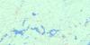
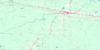
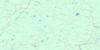
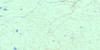
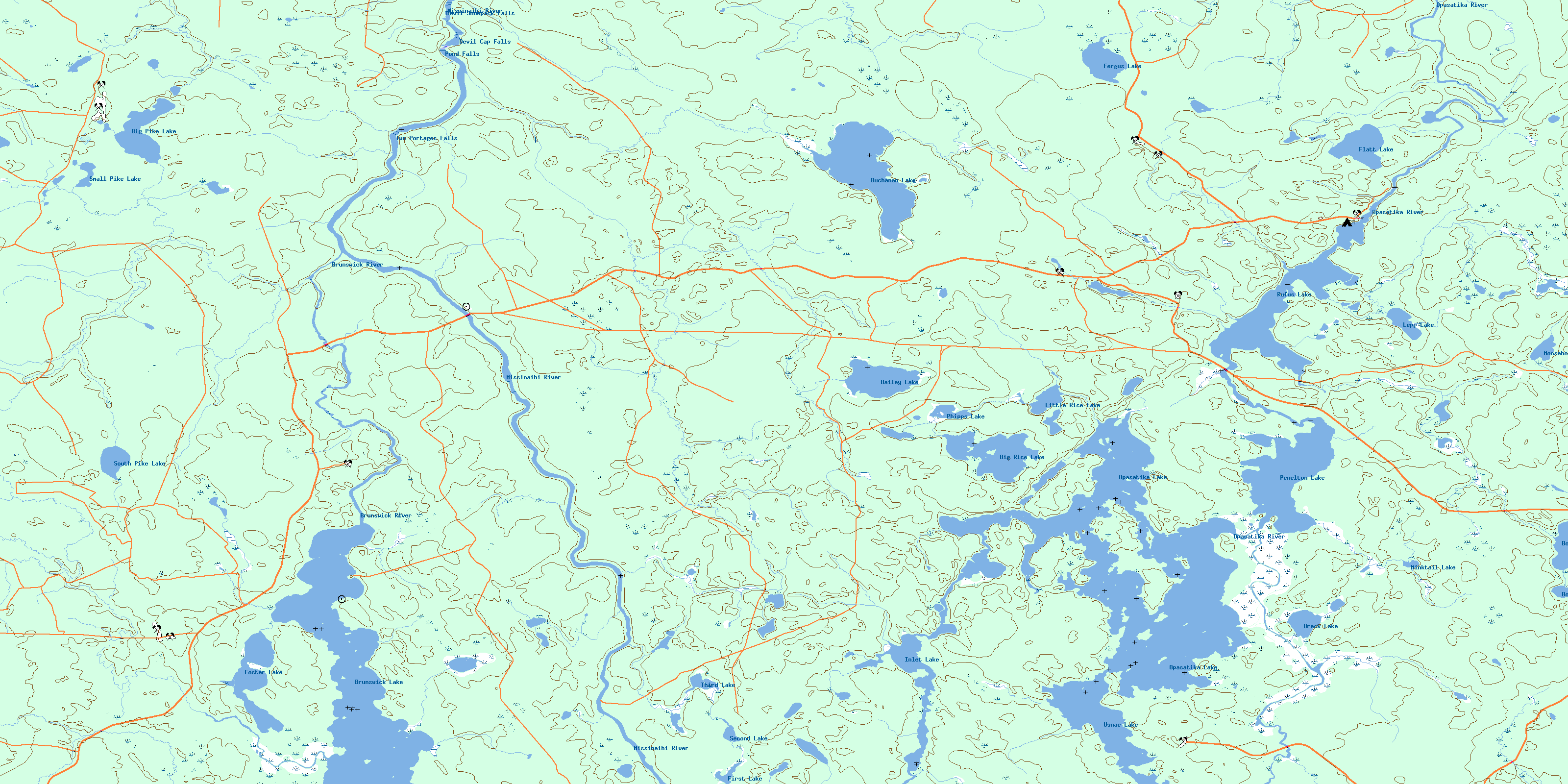
042G03 Opasatika Lake Topo Map
To view this map, mouse over the map preview on the right.
You can also download this topo map for free:
042G03 Opasatika Lake high-resolution topo map image.
Maps for the Opasatika Lake topo map sheet 042G03 at 1:50,000 scale are also available in these versions:
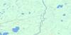
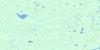
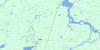
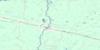
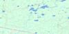
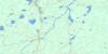
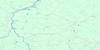
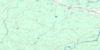
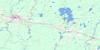
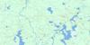
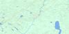
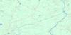
Opasatika Lake Surrounding Area Topo Maps
 |
 |
 |
 |
 |
 |
 |
 |
 |
 |
 |
 |
 |
 |
 |
 |
© Department of Natural Resources Canada. All rights reserved.
Opasatika Lake Gazetteer
The following places can be found on topographic map sheet 042G03 Opasatika Lake:
Opasatika Lake Topo Map: Bays
Pelletier BayOpasatika Lake Topo Map: Capes
Poplar PointOpasatika Lake Topo Map: Falls
Devil Cap FallsDevil Shoepack Falls
Pond Falls
Two Portages Falls
Opasatika Lake Topo Map: Geographical areas
AbbottBourinot
Byng
Caithness
Cromlech
Doherty
Ecclestone
Fergus
Opasatika
Oscar
Rykert
Usnac
Opasatika Lake Topo Map: Lakes
Bailey LakeBig Pike Lake
Big Rice Lake
Bootee Lake
Bourinot Lake
Breck Lake
Brunswick Lake
Buchanan Lake
Fergus Lake
First Lake
Flatt Lake
Foster Lake
Inlet Lake
Lepp Lake
Little Rice Lake
Minktail Lake
Moosehorn Lake
Opasatika Lake
Penelton Lake
Phipps Lake
Rice Lake
Rufus Lake
Second Lake
Small Pike Lake
South Pike Lake
Third Lake
Usnac Lake
Opasatika Lake Topo Map: Conservation areas
Missinaibi Provincial ParkNew Brunswick House Post Wilderness Area
Opasatika Lake Topo Map: Rivers
Abbott CreekBailey Creek
Big Pike Creek
Bourinot Creek
Brunswick River
Buchanan Creek
Doherty Creek
Fergus Creek
Inlet Creek
Minktail Creek
Missinaibi River
Mons Creek
Moosehorn Creek
Opasatika River
Opazatika River
Rice Creek
Rivière Missinaibi
Rivière Opasatika
Rufus Creek
Rykert Creek
South Pike Creek
Teepee Creek
Opasatika Lake Topo Map: Road features
Devil Cap PortageDevil Shoepack Portage
Pond Portage
© Department of Natural Resources Canada. All rights reserved.
042G Related Maps:
042G Kapuskasing042G01 Wakusimi River
042G02 Woman Falls
042G03 Opasatika Lake
042G04 Roche Lake
042G05 Mead
042G06 Rock River
042G07 Val Rita
042G08 Kapuskasing
042G09 Pearce Lake
042G10 Opasatika
042G11 Mattice
042G12 Hearst
042G13 Hanlan Lake
042G14 Shannon Lake
042G15 Hillmer Lake
042G16 Bennet Lake
