Kapuskasing Topo Map Online
Download Free Topo Map Sheet 042G08 at 1:50,000 scale
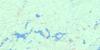
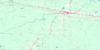
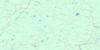
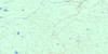
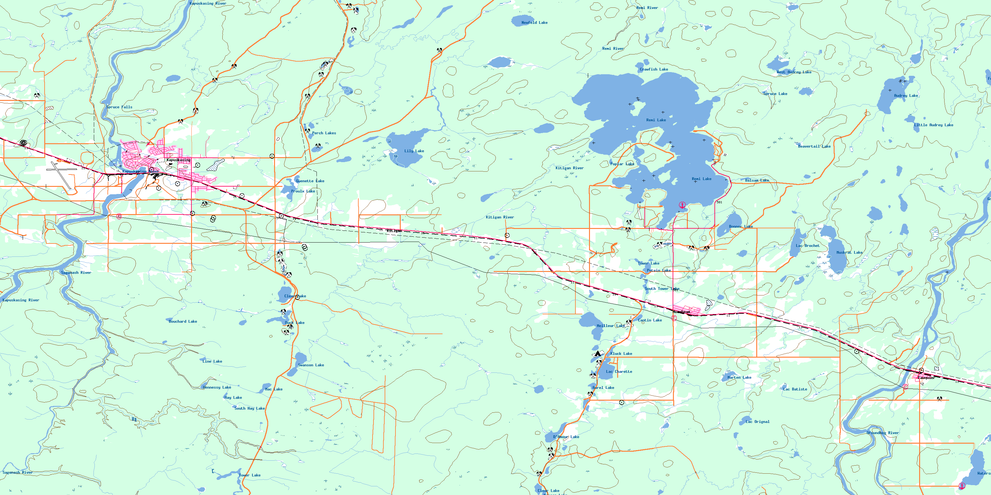
042G08 Kapuskasing Topo Map
To view this map, mouse over the map preview on the right.
You can also download this topo map for free:
042G08 Kapuskasing high-resolution topo map image.
Maps for the Kapuskasing topo map sheet 042G08 at 1:50,000 scale are also available in these versions:
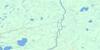
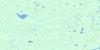
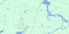
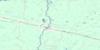
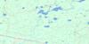
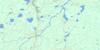
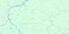
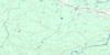
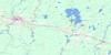
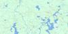
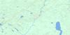
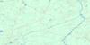
Kapuskasing Surrounding Area Topo Maps
 |
 |
 |
 |
 |
 |
 |
 |
 |
 |
 |
 |
 |
 |
 |
 |
© Department of Natural Resources Canada. All rights reserved.
Kapuskasing Gazetteer
The following places can be found on topographic map sheet 042G08 Kapuskasing:
Kapuskasing Topo Map: Bays
Air Base BayBare Butt Bay
Bradley Bay
Crawfish Cove
East Bay
Fishermen's Bay
Gagnon's Bay
Girdlestone Bay
Kitigan Bay
Ouellette's Bay
Outlet Bay
Peninsula Bay
Picnic Bay
Portage Bay
Research Bay
Round Bay
Vanrassel Bay
Kapuskasing Topo Map: Capes
Bond's PointCrooked Point
Gable Point
Gamble's Point
Leblanc's Point
Lefebvre Peninsula
Lefebvre Point
Myer's Point
Necking Point
North Cape
Phipps Point
Pickerel Point
Remi Peninsula
Rocky Point
Scott's Point
Scout Point
Spruce Point
Walker's Point
Weldon's Point
West Peninsula
Windy Point
Kapuskasing Topo Map: Channels
Inner ChannelOuter Channel
Kapuskasing Topo Map: Falls
Spruce FallsSturgeon Falls
Kapuskasing Topo Map: Geographical areas
BeardmoreFauquier
Gurney
Machin
Nansen
O'Brien
Owens
Shackleton
Sulman
Swanson
Teetzel
Williamson
Kapuskasing Topo Map: Islands
Airplane IslandAnt Island
Baker Island
Bray's Island
Bremner Island
Buehl Island
Buell Island
Cimon's Island
Clavelle's Island
Dead Man's Island
Duck Island
Hazel Island
Jet Island
Lyons Island
Rudd Island
Seymour Island
Stoughton's Island
Kapuskasing Topo Map: Lakes
Audrey LakeAurel Lake
Balsam Lake
Beavertail Lake
Bonner Lake
Bouchard Lake
Brack Lake
Cantin Lake
Clear Lake
Clear Lake
Crawfish Lake
D'Amour Lake
D'Armour Lake
Duck Lake
Fanning Lake
Foss Lake
Gauthier Lake
Grass Lake
Gravel Lake
Guenette Lake
Hastings Lake
Hay Lake
Hennessy Lake
Kluck Lake
Lac Batiste
Lac Brochet
Lac Charette
Lac Orignal
Lac Rémi
Lily Lake
Line Lake
Little Audrey Lake
Mac Lake
Marten Lake
Meilleur Lake
Muskrat Lake
Nansen Lake
Newfeld Lake
North Tower Lake
O'Brien Lake
Perch Lakes
Poplar Lake
Potvin Lake
Proulx Lake
Remi Lake
South Hay Lake
South Tower Lake
Spruce Lake
Swanson Lake
Tower Lake
Tower Lake
Watersnake Lake
West Audrey Lake
Kapuskasing Topo Map: Other municipal/district area - miscellaneous
FauquierFauquier-Strickland
Moonbeam
Owens, Williamson and Idington
Shackleton and Machin
Val Rita-Harty
Kapuskasing Topo Map: Conservation areas
Rene Brunelle Provincial ParkRené Brunelle Provincial Park
Kapuskasing Topo Map: Rivers
Audrey CreekBass Creek
Beaver Creek
Beavertail Creek
D'Amour Creek
Gauthier Creek
Gough Creek
Grass Creek
Groundhog River
Hastings Creek
Hennessy Creek
Kapuskasing River
Kitigan River
Lily Creek
Lily River
Little Wabicock Creek
Marten Creek
Moonshine Creek
Nansen Creek
O'Brien Creek
Remi River
Rivière de Kapuskasing
Rivière Groundhog
Rivière Saganash
Saganash River
South Nansen Creek
Spruce Creek
Wabicock Creek
Watersnake Creek
Wellington Creek
West Audrey Creek
Kapuskasing Topo Map: Shoals
Gull RockKapuskasing Topo Map: Towns
KapuskasingKapuskasing Topo Map: Unincorporated areas
BrunetvilleEastview
Fauquier
Glenwood
Kitigan
Moonbeam
Northfield
River Heights
Val Albert
West Riverside
© Department of Natural Resources Canada. All rights reserved.
042G Related Maps:
042G Kapuskasing042G01 Wakusimi River
042G02 Woman Falls
042G03 Opasatika Lake
042G04 Roche Lake
042G05 Mead
042G06 Rock River
042G07 Val Rita
042G08 Kapuskasing
042G09 Pearce Lake
042G10 Opasatika
042G11 Mattice
042G12 Hearst
042G13 Hanlan Lake
042G14 Shannon Lake
042G15 Hillmer Lake
042G16 Bennet Lake
