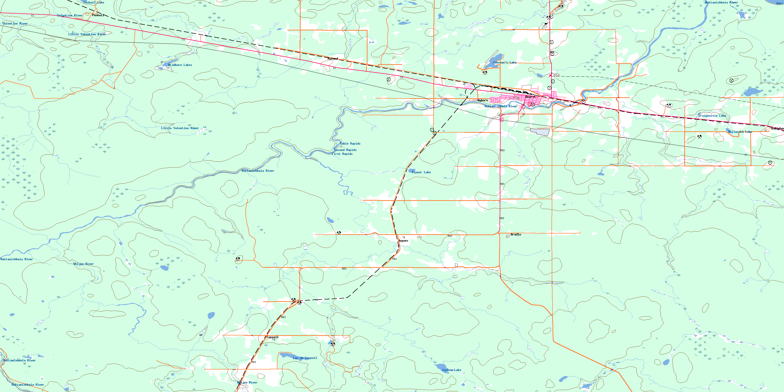
Hearst Topo Map Online
Download Free Topo Map Sheet 042G12 at 1:50,000 scale
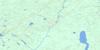
042G12 Hearst Topo Map
To view this map, mouse over the map preview on the right.
You can also download this topo map for free:
042G12 Hearst high-resolution topo map image.
Maps for the Hearst topo map sheet 042G12 at 1:50,000 scale are also available in these versions:
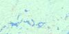
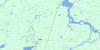
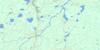
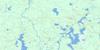
Hearst Surrounding Area Topo Maps
 |
 |
 |
 |
 |
 |
 |
 |
 |
 |
 |
 |
 |
 |
 |
 |
© Department of Natural Resources Canada. All rights reserved.
Hearst Gazetteer
The following places can be found on topographic map sheet 042G12 Hearst:
Hearst Topo Map: Geographical areas
CasgrainHanlan
Irish
Kendall
Landry
Lowther
Shetland
Stoddart
Way
Hearst Topo Map: Lakes
Bradburn LakesCoppell Lake
Craignaivie Lake
Cuckoo Lake
Johnsons Lake
Johnson's Lake
Lac de Coppell
Lac Johnson's
Mattawishkwia Lake
McIlwroth Lake
O'Donnell Lake
Penhall Lake
Ripper Lake
Hearst Topo Map: Rapids
First RapidsSecond Rapids
Table Rapids
Hearst Topo Map: Rivers
Bradburn CreekCuckoo Creek
Glenomo Creek
Hearst Creek
Holland Creek
Irish Creek
Jessie Creek
Jessie River
Jessie River
Kendall Creek
Labree Creek
Little Prune Creek
Little Valentine River
Mattawishkwia River
McIlwroth Creek
Nelles Creek
North Shetland Creek
Obijou River
Obyou Creek
Prune Creek
Ripper Creek
Rivière de Coppell
Rivière Jessie
Ryland Creek
Ste.-Thérèse Creek
Valentine River
Hearst Topo Map: Towns
HearstHearst Topo Map: Unincorporated areas
BradloCoppell
Delray
Hallebourg
Hearst Junction
Jogues
Penhall
Ripco
Ryland
St. Pie X
Stavert
Wyborn
© Department of Natural Resources Canada. All rights reserved.
042G Related Maps:
042G Kapuskasing042G01 Wakusimi River
042G02 Woman Falls
042G03 Opasatika Lake
042G04 Roche Lake
042G05 Mead
042G06 Rock River
042G07 Val Rita
042G08 Kapuskasing
042G09 Pearce Lake
042G10 Opasatika
042G11 Mattice
042G12 Hearst
042G13 Hanlan Lake
042G14 Shannon Lake
042G15 Hillmer Lake
042G16 Bennet Lake
