Kiasko River Topo Map Online
Download Free Topo Map Sheet 042I10 at 1:50,000 scale
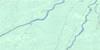
042I10 Kiasko River Topo Map
To view this map, mouse over the map preview on the right.
You can also download this topo map for free:
042I10 Kiasko River high-resolution topo map image.
Maps for the Kiasko River topo map sheet 042I10 at 1:50,000 scale are also available in these versions:
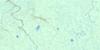
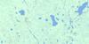
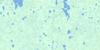
Kiasko River Surrounding Area Topo Maps
 |
 |
 |
 |
 |
 |
 |
 |
 |
 |
 |
 |
 |
 |
 |
 |
© Department of Natural Resources Canada. All rights reserved.
Kiasko River Gazetteer
The following places can be found on topographic map sheet 042I10 Kiasko River:
Kiasko River Topo Map: Islands
Kagawask IslandKiasko River Topo Map: Lakes
Kalapigamau LakesMilogamau Lake
Sopachigadeo Lake
Kiasko River Topo Map: Mountains
Yapewatik RidgeKiasko River Topo Map: Rapids
Asiyan RapidsKiyask Rapids
Waskitaukishimo Rapids
Kiasko River Topo Map: Rivers
Clearwater CreekEast Branch Kagawask Creek
Kalapigamau Creek
Kiasko River
Kiasko River
Kiyask River
Kospinan Creek
Little French River
Lower Milogamau Creek
Makistikweyau River
Malastikweyau Creek
Matitot Creek
Mitinigap River
Natogami River
Nettogami River
North French River
Oskiskatik Creek
Sopachigadeo Creek
South Bluff Creek
Southbluff Creek
Upper Milogamau Creek
Wakwayowkastic River
Waskaskishonan Creek
Wawagigamau River
Wekweyaukastik River
Wisaskogamau Creek
Yesterday River
Kiasko River Topo Map: Low vegetation
Milogamau Muskeg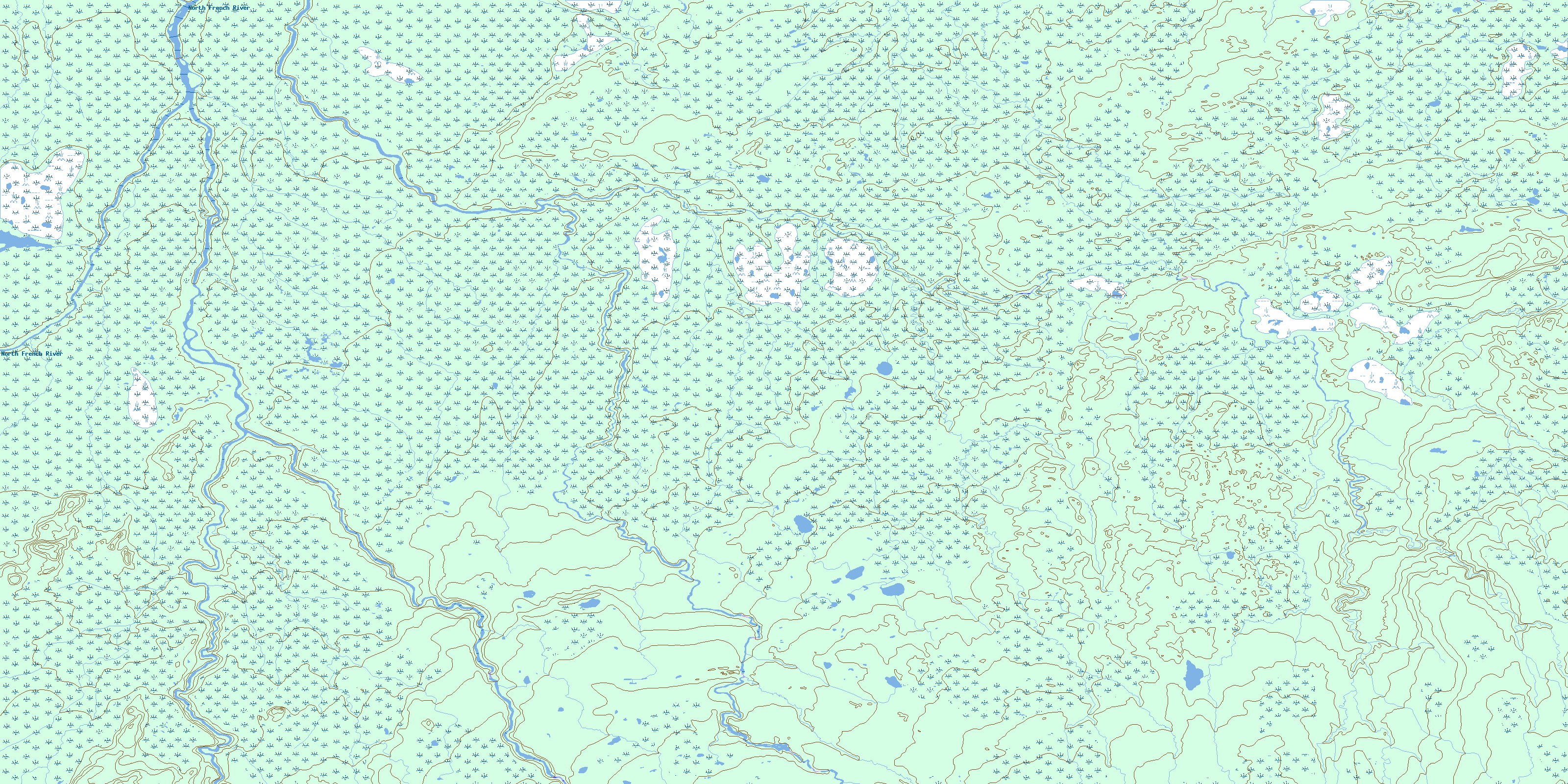
© Department of Natural Resources Canada. All rights reserved.
042I Related Maps:
042I Moose River042I01 Ministik Lake
042I02 Mcparlon Lake
042I03 Audrey Lake
042I04 Coral
042I05 Ranoke
042I06 Lyla Lake
042I07 Wekweyaukastik Rapids
042I08 Kesagami Lake
042I09 Glaister Lake
042I10 Kiasko River
042I11 Onakawana
042I12 Pickett Creek
042I13 Birdsall Creek
042I14 Moose River
042I15 Meengan Creek
042I16 Marberg Creek
