Mcintyre Bay Topo Map Online
Download Free Topo Map Sheet 052K07 at 1:50,000 scale
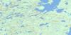
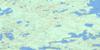
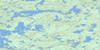
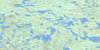
052K07 Mcintyre Bay Topo Map
To view this map, mouse over the map preview on the right.
You can also download this topo map for free:
052K07 Mcintyre Bay high-resolution topo map image.
Maps for the Mcintyre Bay topo map sheet 052K07 at 1:50,000 scale are also available in these versions:
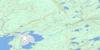
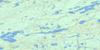
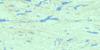
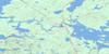
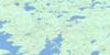
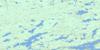
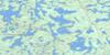
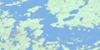
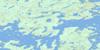
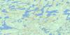
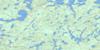
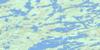
Mcintyre Bay Surrounding Area Topo Maps
 |
 |
 |
 |
 |
 |
 |
 |
 |
 |
 |
 |
 |
 |
 |
 |
© Department of Natural Resources Canada. All rights reserved.
Mcintyre Bay Gazetteer
The following places can be found on topographic map sheet 052K07 Mcintyre Bay:
Mcintyre Bay Topo Map: Bays
Bay of IslandsBray Bay
Farewell Bay
McIntyre Bay
McKenzie Bay
Portage Cove
South Bay
South Inlet
Williams Bay
Mcintyre Bay Topo Map: Capes
Manitoba PointRocky Point
Stony Point
Windigo Point
Mcintyre Bay Topo Map: Channels
Ghost NarrowsHungry Narrows
Manitou Narrows
North Channel
Poplar Narrows
Shanty Narrows
Mcintyre Bay Topo Map: Indian Reserves
Lac Seul Indian Reserve 28Réserve indienne Lac Seul 28
Mcintyre Bay Topo Map: Islands
Big IslandBig Island
Bray Lake Channel Island
Derwin Island
Foxon's Light
Grassy Narrows Island
Honeymoon Island
Indian Island
Moose River Island
Mcintyre Bay Topo Map: Lakes
Bray LakeBroad Lake
Broadcast Lake
Clear Lake
Glider Lake
Lac Seul
Pipette Lake
Spree Lake
Sunlight Lake
Williams Lake
Mcintyre Bay Topo Map: Conservation areas
Windigo Point Provincial Nature ReserveMcintyre Bay Topo Map: Rivers
Altimeter CreekBirmingham Creek
Broadcast Creek
Glider Creek
Manitou Creek
Spree Creek
Spruce River
Warship Creek
Mcintyre Bay Topo Map: Unincorporated areas
Lac Seul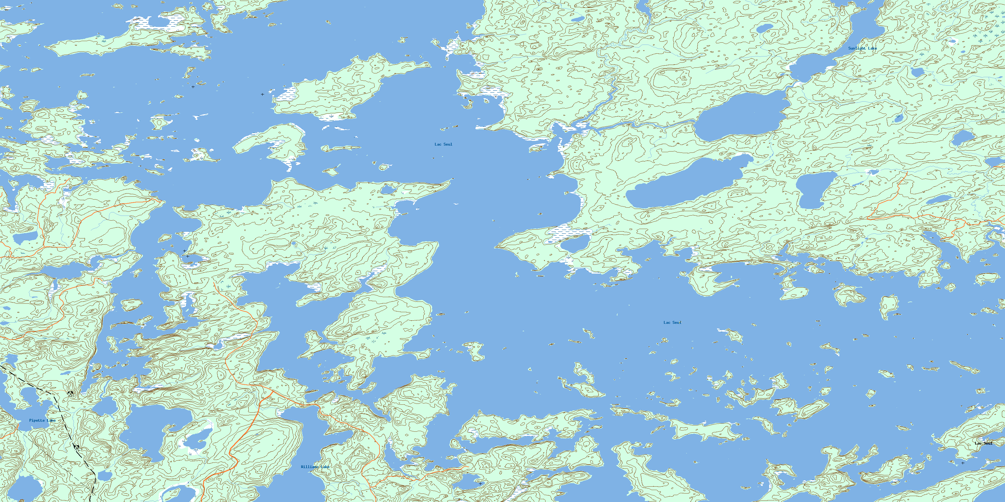
© Department of Natural Resources Canada. All rights reserved.
052K Related Maps:
052K Lac Seul052K01 Hudson
052K02 Route Lake
052K03 Cliff Lake
052K04 Big Canyon Lake
052K05 Oak Lake
052K06 Wabaskang Lake
052K07 Mcintyre Bay
052K08 Lac Seul
052K09 Wapesi Lake
052K10 Aerofoil Lake
052K11 Ear Falls
052K12 Wegg Lake
052K13 Madsen
052K14 Pakwash Lake
052K15 Bluffy Lake
052K16 Papaonga Lake
