Ear Falls Topo Map Online
Download Free Topo Map Sheet 052K11 at 1:50,000 scale
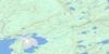
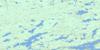
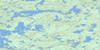
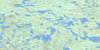
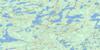
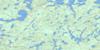
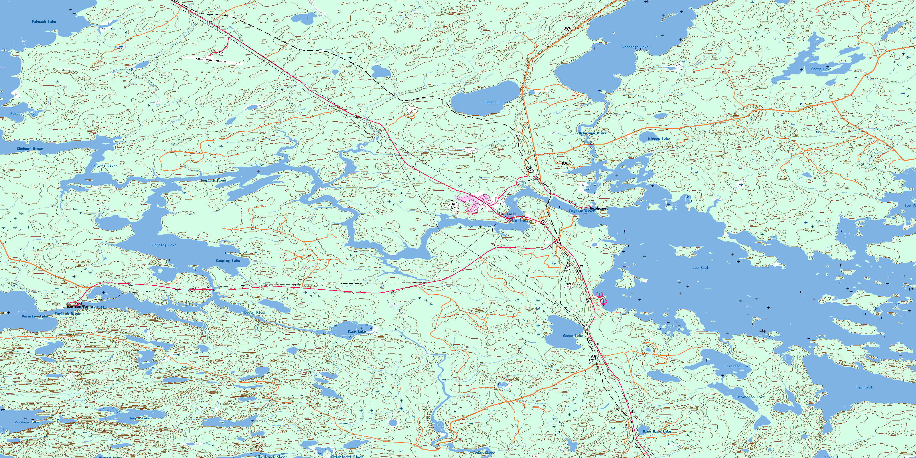
052K11 Ear Falls Topo Map
To view this map, mouse over the map preview on the right.
You can also download this topo map for free:
052K11 Ear Falls high-resolution topo map image.
Maps for the Ear Falls topo map sheet 052K11 at 1:50,000 scale are also available in these versions:
Ear Falls Surrounding Area Topo Maps
 |
 |
 |
 |
 |
 |
 |
 |
 |
 |
 |
 |
 |
 |
 |
 |
© Department of Natural Resources Canada. All rights reserved.
Ear Falls Gazetteer
The following places can be found on topographic map sheet 052K11 Ear Falls:
Ear Falls Topo Map: Bays
Goose BaySawmill Bay
Ear Falls Topo Map: Capes
Lunker PointEar Falls Topo Map: Channels
Steamboat NarrowsEar Falls Topo Map: Falls
Ear FallsLower Manitou Falls
Manitou Falls
Upper Manitou Falls
Ear Falls Topo Map: Islands
Goose IslandsEar Falls Topo Map: Lakes
Barnston LakeBrownbear Lake
Camping Lake
Cramp Lake
Cristene Lake
Detector Lake
Goose Lake
Gould Lake
Howard Lake
Lac Seul
Minnow Lake
Nine Mile Lake
Pakwash Lake
Pakwash Lakes
Rice Lake
Wenasaga Lake
Zizania Lake
Ear Falls Topo Map: Other municipal/district area - miscellaneous
Ear FallsEar Falls Topo Map: Rivers
Anishinabi RiverBrownbear Creek
Camp Nine Creek
Cedar River
Chukuni River
Cramp Creek
English River
Fatty Creek
Gould Creek
Lowfish River
Sandy Creek
Wenasaga River
Ear Falls Topo Map: Unincorporated areas
Ear FallsGoldpines
Lac Seul
Manitou Falls
© Department of Natural Resources Canada. All rights reserved.
052K Related Maps:
052K Lac Seul052K01 Hudson
052K02 Route Lake
052K03 Cliff Lake
052K04 Big Canyon Lake
052K05 Oak Lake
052K06 Wabaskang Lake
052K07 Mcintyre Bay
052K08 Lac Seul
052K09 Wapesi Lake
052K10 Aerofoil Lake
052K11 Ear Falls
052K12 Wegg Lake
052K13 Madsen
052K14 Pakwash Lake
052K15 Bluffy Lake
052K16 Papaonga Lake
