Carlyle Topo Map Online
Download Free Topo Map Sheet 062E09 at 1:50,000 scale
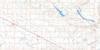
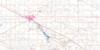
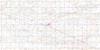
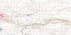
062E09 Carlyle Topo Map
To view this map, mouse over the map preview on the right.
You can also download this topo map for free:
062E09 Carlyle high-resolution topo map image.
Maps for the Carlyle topo map sheet 062E09 at 1:50,000 scale are also available in these versions:
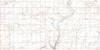
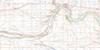
Carlyle Surrounding Area Topo Maps
 |
 |
 |
 |
 |
 |
 |
 |
 |
 |
 |
 |
 |
 |
 |
 |
© Department of Natural Resources Canada. All rights reserved.
Carlyle Gazetteer
The following places can be found on topographic map sheet 062E09 Carlyle:
Carlyle Topo Map: Lakes
Adrian LakeBig Marsh Lake
Black Lake
Ess Lake
Hoppertown Lake
Kippan Lake
Little Chain Lake
McGurk Lake
Munns Lake
Peacard Lake
Stevenson Lake
White Lake
Carlyle Topo Map: Mountains
Heart HillMoose Mountain
Carlyle Topo Map: Other municipal/district area - miscellaneous
Antler No. 61Brock No. 64
Browning No. 34
Moose Creek No. 33
Moose Mountain No. 63
Reciprocity No. 32
Walpole No. 92
Carlyle Topo Map: Conservation areas
Cannington Manor Provincial ParkMoose Mountain Provincial Forest
Moose Mountain Provincial Park
Carlyle Topo Map: Rivers
Auburnton CreekCowper Creek
Crooked Creek
Moose Mountain Creek
Morrison Creek
Swift Creek
Carlyle Topo Map: Springs
Smiley SpringsCarlyle Topo Map: Towns
ArcolaCarlyle
Carlyle Topo Map: Unincorporated areas
CowperFremantle
Service
Steppes
Wordsworth
Carlyle Topo Map: Low vegetation
Camerons SloughCarlyle Topo Map: Villages
Manor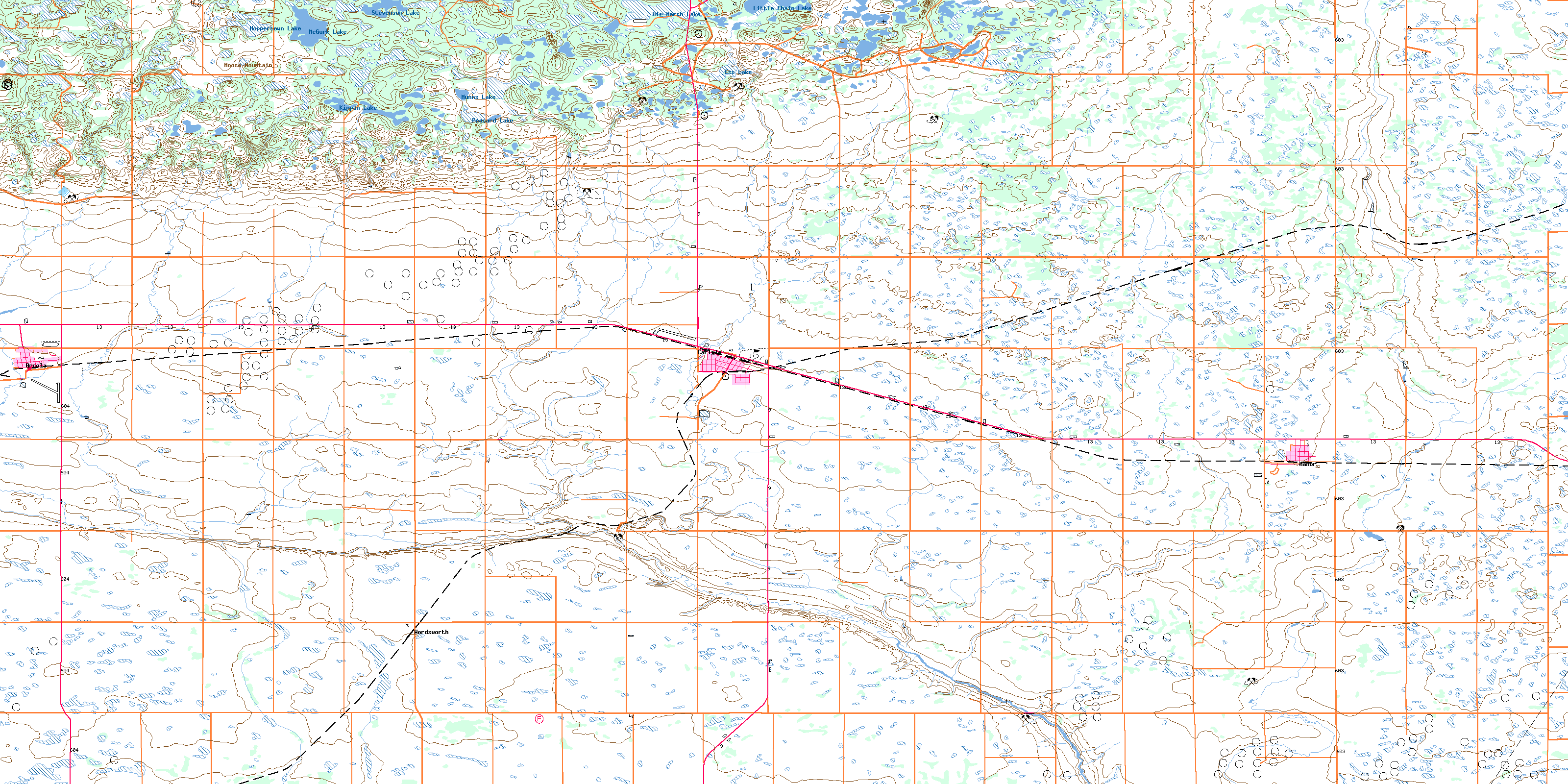
© Department of Natural Resources Canada. All rights reserved.
