Dumas Topo Map Online
Download Free Topo Map Sheet 062E16 at 1:50,000 scale
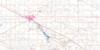
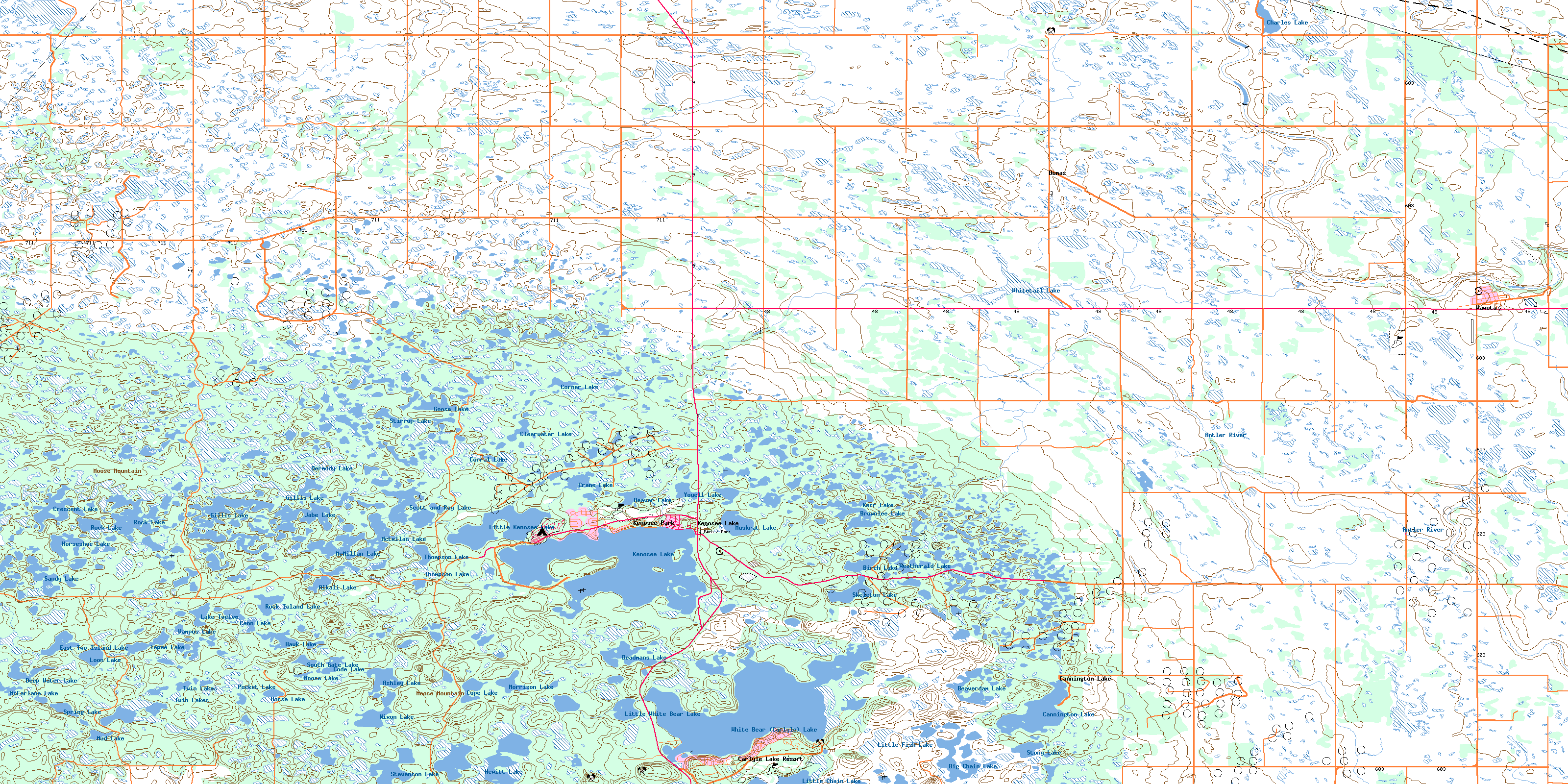
062E16 Dumas Topo Map
To view this map, mouse over the map preview on the right.
You can also download this topo map for free:
062E16 Dumas high-resolution topo map image.
Maps for the Dumas topo map sheet 062E16 at 1:50,000 scale are also available in these versions:
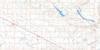
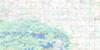
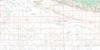
Dumas Surrounding Area Topo Maps
 |
 |
 |
 |
 |
 |
 |
 |
 |
 |
 |
 |
 |
 |
 |
 |
© Department of Natural Resources Canada. All rights reserved.
Dumas Gazetteer
The following places can be found on topographic map sheet 062E16 Dumas:
Dumas Topo Map: Bays
Christopher BayDumas Topo Map: Capes
Pickerel PointDumas Topo Map: Hamlets
Cannington LakeDumas Topo Map: Indian Reserves
Pheasant Rump NakotaWhite Bear 70
Dumas Topo Map: Islands
Hog IslandDumas Topo Map: Lakes
Alkali LakeAshley Lake
Beaver Lake
Beaverdam Lake
Bennett Lake
Big Chain Lake
Big Marsh Lake
Birch Lake
Brownlee Lake
Cann Lake
Cannington Lake
Charles Lake
Clearwater Lake
Code Lake
Cope Lake
Corner Lake
Corral Lake
Crane Lake
Crescent Lake
Deadmans Lake
Deep Water Lake
Dermody Lake
East Two Island Lake
Gillis Lake
Goose Lake
Hawk Lake
Hewitt Lake
Hoppertown Lake
Horse Lake
Horseshoe Lake
Jabe Lake
Kenosee Lake
Kerr Lake
Lake Twelve
Little Chain Lake
Little Fish Lake
Little Kenosee Lake
Little White Bear Lake
Loon Lake
McFarlane Lake
McGurk Lake
McLellan Lake
McMillan Lake
Moose Lake
Morrison Lake
Mud Lake
Muskrat Lake
Nixon Lake
Pocket Lake
Rock Island Lake
Rock Lake
Sandy Lake
Scott and Ray Lake
Skeleton Lake
South Gate Lake
Spring Lake
Stevenson Lake
Stirrup Lake
Stony Lake
Tepee Lake
Thompson Lake
Twin Lakes
Wampos Lake
Weatherald Lake
Weatherall Lake
White Bear (Carlyle) Lake
Whitetail Lake
Youell Lake
Dumas Topo Map: Mountains
Heart HillMoose Mountain
Dumas Topo Map: Other municipal/district area - miscellaneous
Brock No. 64Hazelwood No. 94
Moose Mountain No. 63
Walpole No. 92
Wawken No. 93
Dumas Topo Map: Conservation areas
Moose Mountain Provincial ForestMoose Mountain Provincial Park
Dumas Topo Map: Rivers
Antler RiverAuburnton Creek
Lightning Creek
Little Pipestone Creek
Montgomery Creek
Weatherald Creek
Dumas Topo Map: Towns
WawotaDumas Topo Map: Unincorporated areas
Arcola Bay ResortCarlyle Lake Resort
Crystal Hill
Dumas
Fletwode
Glen Adelaide
Highview
Kenosee Park
Sunnybank Resort
Dumas Topo Map: Villages
Kenosee LakeWe-Non-Cha
© Department of Natural Resources Canada. All rights reserved.
