Dugald Topo Map Online
Download Free Topo Map Sheet 062H15 at 1:50,000 scale
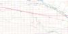
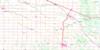
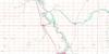
062H15 Dugald Topo Map
To view this map, mouse over the map preview on the right.
You can also download this topo map for free:
062H15 Dugald high-resolution topo map image.
Maps for the Dugald topo map sheet 062H15 at 1:50,000 scale are also available in these versions:
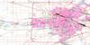
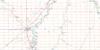
Dugald Surrounding Area Topo Maps
 |
 |
 |
 |
 |
 |
 |
 |
 |
 |
 |
 |
 |
 |
 |
 |
© Department of Natural Resources Canada. All rights reserved.
Dugald Gazetteer
The following places can be found on topographic map sheet 062H15 Dugald:
Dugald Topo Map: City
WinnipegDugald Topo Map: Geographical areas
KildonanLorette
St. Andrews
St. Paul
St. Pauls
Dugald Topo Map: Hydraulic construction
Canal de dérivation de la Rivière RougeCentre Line Drain
Cooks Creek Diversion
Deacon Drain
Deacon Drain
Hazelridge Drain
Navin Drain
Old Prairie Grove Drain
Prairie Grove Drain
Red River Floodway
Station Road Drain
Swede Drain
Dugald Topo Map: Mountains
Moosenose HillDugald Topo Map: Major municipal/district area - major agglomerations
Greater WinnipegDugald Topo Map: Other municipal/district area - miscellaneous
BrokenheadEast St. Paul
Ritchot
Springfield
St. Clements
Taché
Dugald Topo Map: Conservation areas
Birds Hill Provincial ParkBirds Hill Wildlife Refuge
Duff Roblin Provincial Park
Dugald Topo Map: Railway features
Transcona YardsDugald Topo Map: Natural resources sites
Bells PitDugald Topo Map: Rivers
Bottomly CreekCook Creek
Cooks Creek
Edie Creek
Rivière Seine
Satans Creek
Seine River
Dugald Topo Map: Road features
Chemin DawsonDugald Topo Map: Unincorporated areas
AnolaBirds Hill
Canterbury Park
Cloverleaf
Cooks Creek
Deacon
Deacons Corner
Dugald
Dundee
Elm Grove
Glass
Hazelridge
Kern Park
Lakeside Meadows
Lorette
Meadowvale
Millbrook
Monominto
Monominto
Moosenose
Navin
Norcran
North Transcona
Oakbank
Parkmount
Prairie Grove
Queens Valley
Richland
Rock Lane
Rosewood
South Transcona
Springfield
Springfield Heights
Transcona
West Pine Ridge
Dugald Topo Map: Villages
East Kildonan - Transcona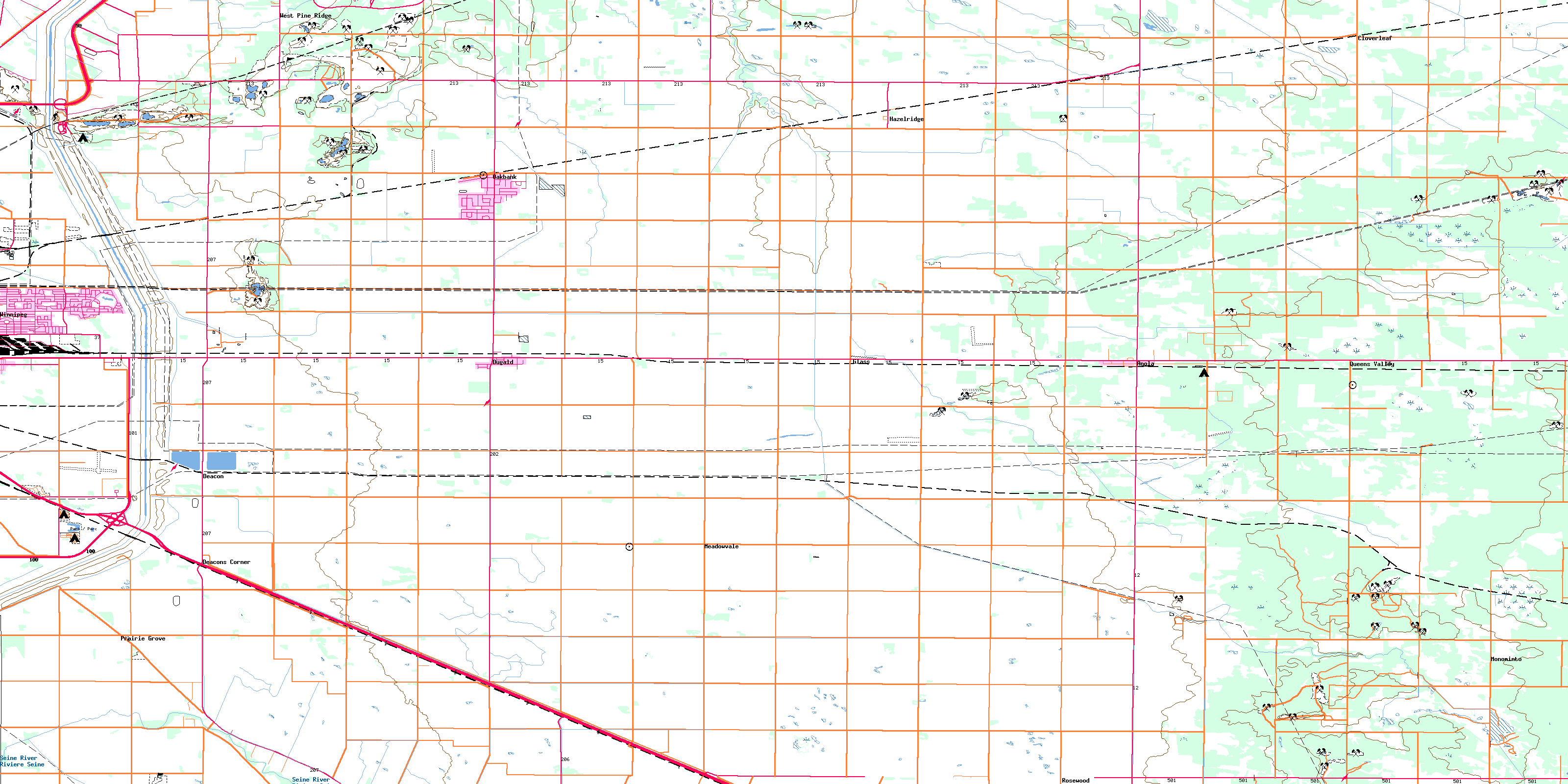
© Department of Natural Resources Canada. All rights reserved.
