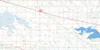
Yorkton Topo Map Online
Download Free Topo Map Sheet 062M01 at 1:50,000 scale
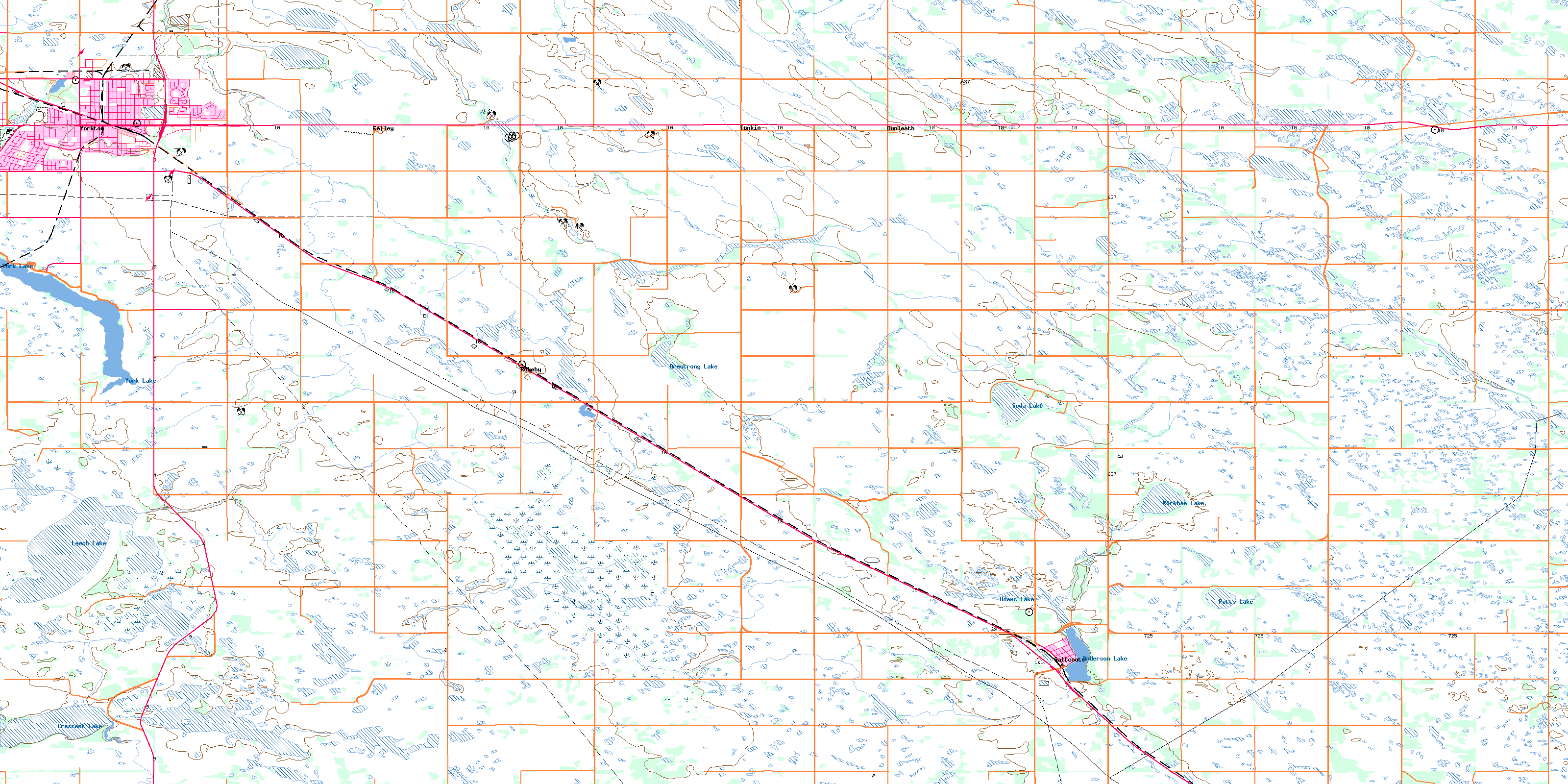
062M01 Yorkton Topo Map
To view this map, mouse over the map preview on the right.
You can also download this topo map for free:
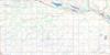
062M01 Yorkton high-resolution topo map image.
Maps for the Yorkton topo map sheet 062M01 at 1:50,000 scale are also available in these versions:
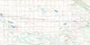
Yorkton Surrounding Area Topo Maps
 |
 |
 |
 |
 |
 |
 |
 |
 |
 |
 |
 |
 |
 |
 |
 |
© Department of Natural Resources Canada. All rights reserved.
Yorkton Gazetteer
The following places can be found on topographic map sheet 062M01 Yorkton:
Yorkton Topo Map: Bays
Logan BayYorkton Topo Map: City
YorktonYorkton Topo Map: Indian Reserves
Kahkewistahaw 72 A-1Keeseekoose 66-Sa-01
Keeseekoose 66-Sa-02
Little Bone 74B
Little Bone Indian Reserve 73A
Minoahchak 74C
Minoahchak Indian Reserve 230
Réserve indienne Little Bone 73A
Réserve indienne Minoahchak 230
Sakimay 74-1
Sakimay 74-3
Sakimay 74-7
Yorkton Topo Map: Lakes
Adams LakeAnderson Lake
Armstrong Lake
Crescent Lake
Kirkham Lake
Leech Lake
Potts Lake
Soda Lake
York Lake
Yorkton Topo Map: Other municipal/district area - miscellaneous
Calder No. 241Cana No. 214
Churchbridge No. 211
Orkney No. 244
Saltcoats No. 213
Wallace No. 243
Yorkton Topo Map: Conservation areas
Saltcoats Game PreserveSaltcoats Regional Park
York Lake Regional Park
Yorkton Topo Map: Rivers
Crescent CreekWallace Creek
Yorkton Creek
Yorkton Topo Map: Towns
SaltcoatsYorkton Topo Map: Unincorporated areas
BarbourBarvas
Calley
Chrysler
Clonmel
Dunleath
Kessock
Rokeby
Sturdee
Tonkin
© Department of Natural Resources Canada. All rights reserved.
