Anderson Point Topo Map Online
Download Free Topo Map Sheet 062P07 at 1:50,000 scale
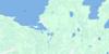
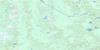
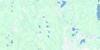
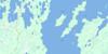
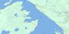
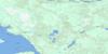
062P07 Anderson Point Topo Map
To view this map, mouse over the map preview on the right.
You can also download this topo map for free:
062P07 Anderson Point high-resolution topo map image.
Maps for the Anderson Point topo map sheet 062P07 at 1:50,000 scale are also available in these versions:
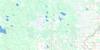
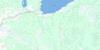
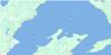
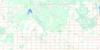
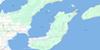
Anderson Point Surrounding Area Topo Maps
 |
 |
 |
 |
 |
 |
 |
 |
 |
 |
 |
 |
 |
 |
 |
 |
© Department of Natural Resources Canada. All rights reserved.
Anderson Point Gazetteer
The following places can be found on topographic map sheet 062P07 Anderson Point:
Anderson Point Topo Map: Bays
Blind BayFrog Bay
Monkman Bay
South Bay
Washow (Humbug) Bay
Washow Bay
Wells Harbour
Anderson Point Topo Map: Capes
Anderson PointBeaver Point
Grindstone Point
Little Grindstone Point
Mill Point
Ramsay Point
South Barneys Point
Anderson Point Topo Map: Islands
Berry IslandDeer Island
Janora Island
Kasakeemeemisekak Islands
Pipestone Island
Punk Island
Anderson Point Topo Map: Lakes
Jackson LakeLac Winnipeg
Lake Winnipeg
Moose Lake
Muriel Lake
Ranger Lakes
Anderson Point Topo Map: Other municipal/district area - miscellaneous
BifrostAnderson Point Topo Map: Conservation areas
Beaver Creek Provincial ParkBeaver Creek Provincial Recreation Park
Chief George Barker Wildlife Refuge
Grindstone Provincial Recreation Park
Hecla Provincial Heritage Park
Hecla Provincial Park
Hecla/Grindstone Provincial Park
Moose Creek Provincial Forest
Moose Creek Wildlife Management Area
Anderson Point Topo Map: Rivers
Beaver CreekMill Creek
Moose Creek
Anderson Point Topo Map: Shoals
Pipestone RockAnderson Point Topo Map: Unincorporated areas
Beaver Creek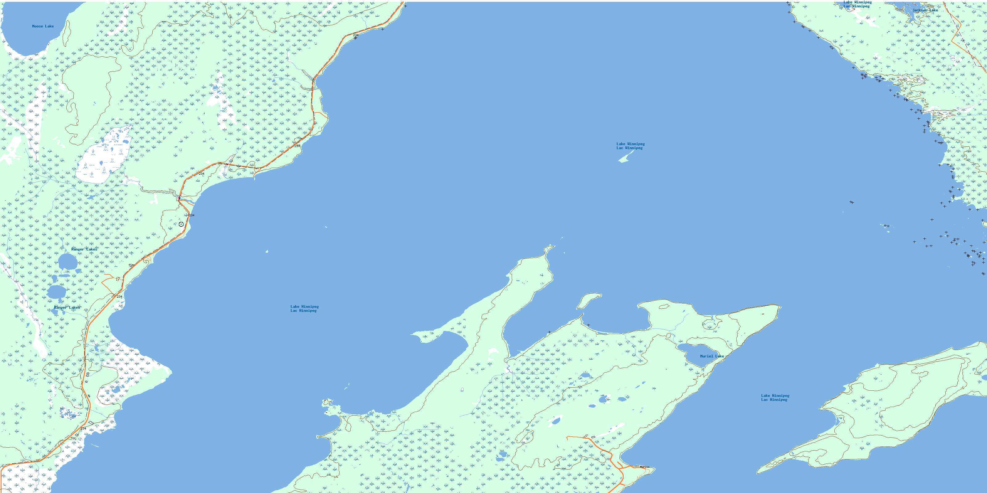
© Department of Natural Resources Canada. All rights reserved.
062P Related Maps:
062P Hecla062P01 English Brook
062P02 Gull Harbour
062P03 Shorncliffe
062P04 Hodgson
062P05 Harwill
062P06 Fisher River
062P07 Anderson Point
062P08 Shallow Lake
062P09 Minago Creek
062P10 Pine Dock
062P11 Lake St Andrew
062P12 Howe Lake
062P13 Poplar Point
062P14 Jackhead
062P15 Princess Harbour
062P16 Magnusson Lake
