Fisher River Topo Map Online
Download Free Topo Map Sheet 062P06 at 1:50,000 scale
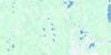
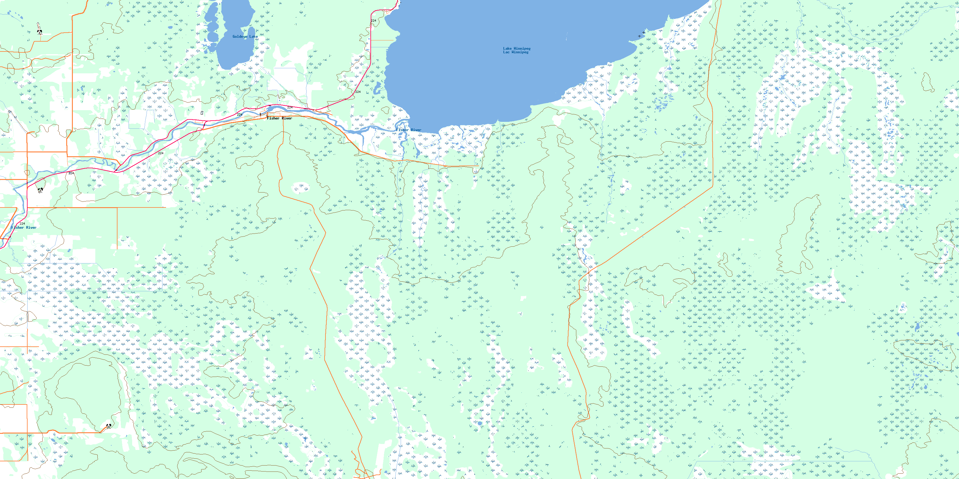
062P06 Fisher River Topo Map
To view this map, mouse over the map preview on the right.
You can also download this topo map for free:
062P06 Fisher River high-resolution topo map image.
Maps for the Fisher River topo map sheet 062P06 at 1:50,000 scale are also available in these versions:
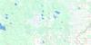
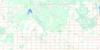
Fisher River Surrounding Area Topo Maps
 |
 |
 |
 |
 |
 |
 |
 |
 |
 |
 |
 |
 |
 |
 |
 |
© Department of Natural Resources Canada. All rights reserved.
Fisher River Gazetteer
The following places can be found on topographic map sheet 062P06 Fisher River:
Fisher River Topo Map: Bays
Boiler BayFisher Bay
Fisher River Topo Map: Capes
Beltons PointEast Mill Point
Many Islands Point
Willow Point
Fisher River Topo Map: Hydraulic construction
Red Rose DrainFisher River Topo Map: Indian Reserves
Fisher River 44Peguis 1B
Fisher River Topo Map: Lakes
Goldeye LakeLac Winnipeg
Lake Winnipeg
Fisher River Topo Map: Other municipal/district area - miscellaneous
BifrostFisher
Fisher River Topo Map: Conservation areas
Moose Creek Provincial ForestMoose Creek Wildlife Management Area
Fisher River Topo Map: Rivers
Eagle Nest CreekFisher River
Goldeye Creek
Moose Creek
Rogers Creek
Snake Creek
Sugar Creek
Fisher River Topo Map: Unincorporated areas
DallasFisher Bay
Fisher River
Fisher River Cree Nation
Koostatak
© Department of Natural Resources Canada. All rights reserved.
062P Related Maps:
062P Hecla062P01 English Brook
062P02 Gull Harbour
062P03 Shorncliffe
062P04 Hodgson
062P05 Harwill
062P06 Fisher River
062P07 Anderson Point
062P08 Shallow Lake
062P09 Minago Creek
062P10 Pine Dock
062P11 Lake St Andrew
062P12 Howe Lake
062P13 Poplar Point
062P14 Jackhead
062P15 Princess Harbour
062P16 Magnusson Lake
