Kinistino Topo Map Online
Download Free Topo Map Sheet 073A14 at 1:50,000 scale
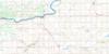
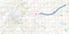
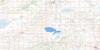
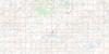
073A14 Kinistino Topo Map
To view this map, mouse over the map preview on the right.
You can also download this topo map for free:
073A14 Kinistino high-resolution topo map image.
Maps for the Kinistino topo map sheet 073A14 at 1:50,000 scale are also available in these versions:
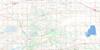
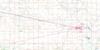
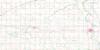
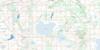
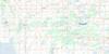
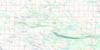
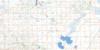
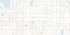
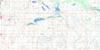
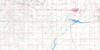
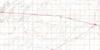
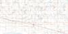
Kinistino Surrounding Area Topo Maps
 |
 |
 |
 |
 |
 |
 |
 |
 |
 |
 |
 |
 |
 |
 |
 |
© Department of Natural Resources Canada. All rights reserved.
Kinistino Gazetteer
The following places can be found on topographic map sheet 073A14 Kinistino:
Kinistino Topo Map: Hamlets
Crystal SpringsMeskanaw
Kinistino Topo Map: Lakes
Dickson LakeJumping Lake
Struthers Lake
Tway Lake
Wolverine Lake
Kinistino Topo Map: Other municipal/district area - miscellaneous
Birch Hills No. 460Flett's Springs No. 429
Hoodoo No. 401
Invergordon No. 430
Kinistino No. 459
St. Louis No. 431
Kinistino Topo Map: Conservation areas
Ingvald Opseth Wildlife RefugeRéserve nationale de faune de Tway
Struthers Lake Regional Park
Tway National Wildlife Area
Kinistino Topo Map: Rivers
Carrot RiverColdwell Creek
Cromarty Creek
McCloy Creek
Kinistino Topo Map: Towns
Birch HillsKinistino
Kinistino Topo Map: Unincorporated areas
Crescent HillInvergordon
Tiger Hills
Waitville
Kinistino Topo Map: Low vegetation
Waterhen MarshKinistino Topo Map: Villages
Yellow Creek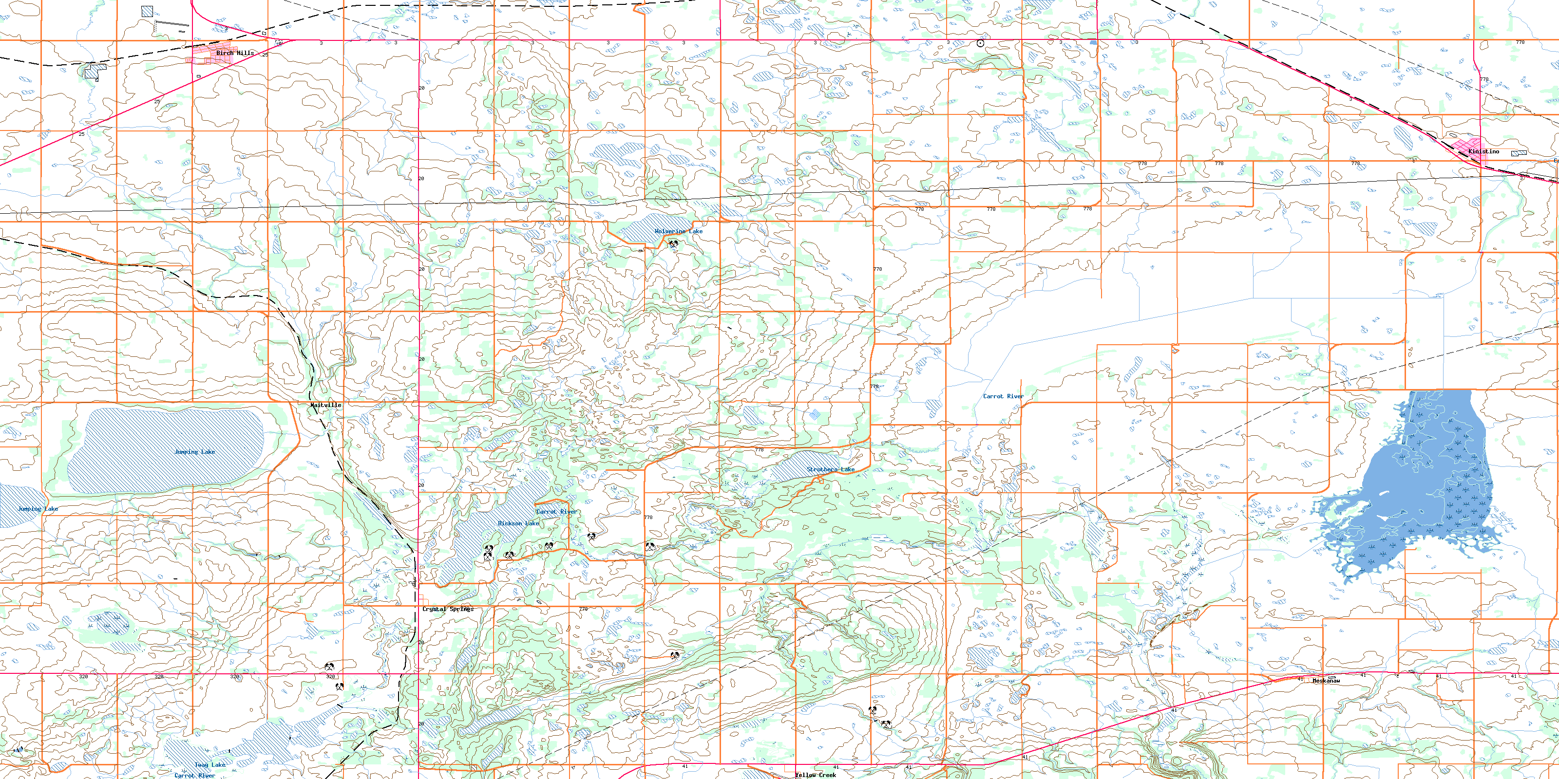
© Department of Natural Resources Canada. All rights reserved.
