St Brieux Topo Map Online
Download Free Topo Map Sheet 073A10 at 1:50,000 scale
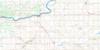
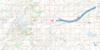
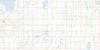
073A10 St Brieux Topo Map
To view this map, mouse over the map preview on the right.
You can also download this topo map for free:
073A10 St Brieux high-resolution topo map image.
Maps for the St Brieux topo map sheet 073A10 at 1:50,000 scale are also available in these versions:
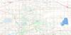
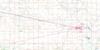
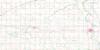
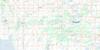
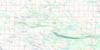
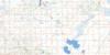
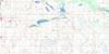
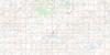
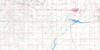
St Brieux Surrounding Area Topo Maps
 |
 |
 |
 |
 |
 |
 |
 |
 |
 |
 |
 |
 |
 |
 |
 |
© Department of Natural Resources Canada. All rights reserved.
St Brieux Gazetteer
The following places can be found on topographic map sheet 073A10 St Brieux:
St Brieux Topo Map: Hamlets
PathlowSt Brieux Topo Map: Lakes
Bergot LakeDezou Lake
Dormouse Lake
Eagle Lake
Evan Lake
Fox Lake
Hudson Lake
Lac Vert Nord
Lenore Lake
Long Lake
Malyas Lake
Meyers Lake
Miora Lake
Norona Lake
Paterson Lake
Ranch Lake
Solberg Lake
Stinking Lakes
Virgil Lake
St Brieux Topo Map: Other municipal/district area - miscellaneous
Flett's Springs No. 429Lake Lenore No. 399
Pleasantdale No. 398
Star City No. 428
St Brieux Topo Map: Conservation areas
Lenore Lake Bird SanctuaryLenore Lake Wildlife Refuge
Refuge d'oiseaux du lac Lenore
St. Brieux Regional Park
St Brieux Topo Map: Rivers
Barrier RiverFlett Creek
Goosehunting Creek
Melfort Creek
Thatch Creek
St Brieux Topo Map: Towns
St. BrieuxSt Brieux Topo Map: Unincorporated areas
DaylesfordFolgoet
Kermaria
Morwick
Resource
Silver Park
Tilly
St Brieux Topo Map: Villages
Pleasantdale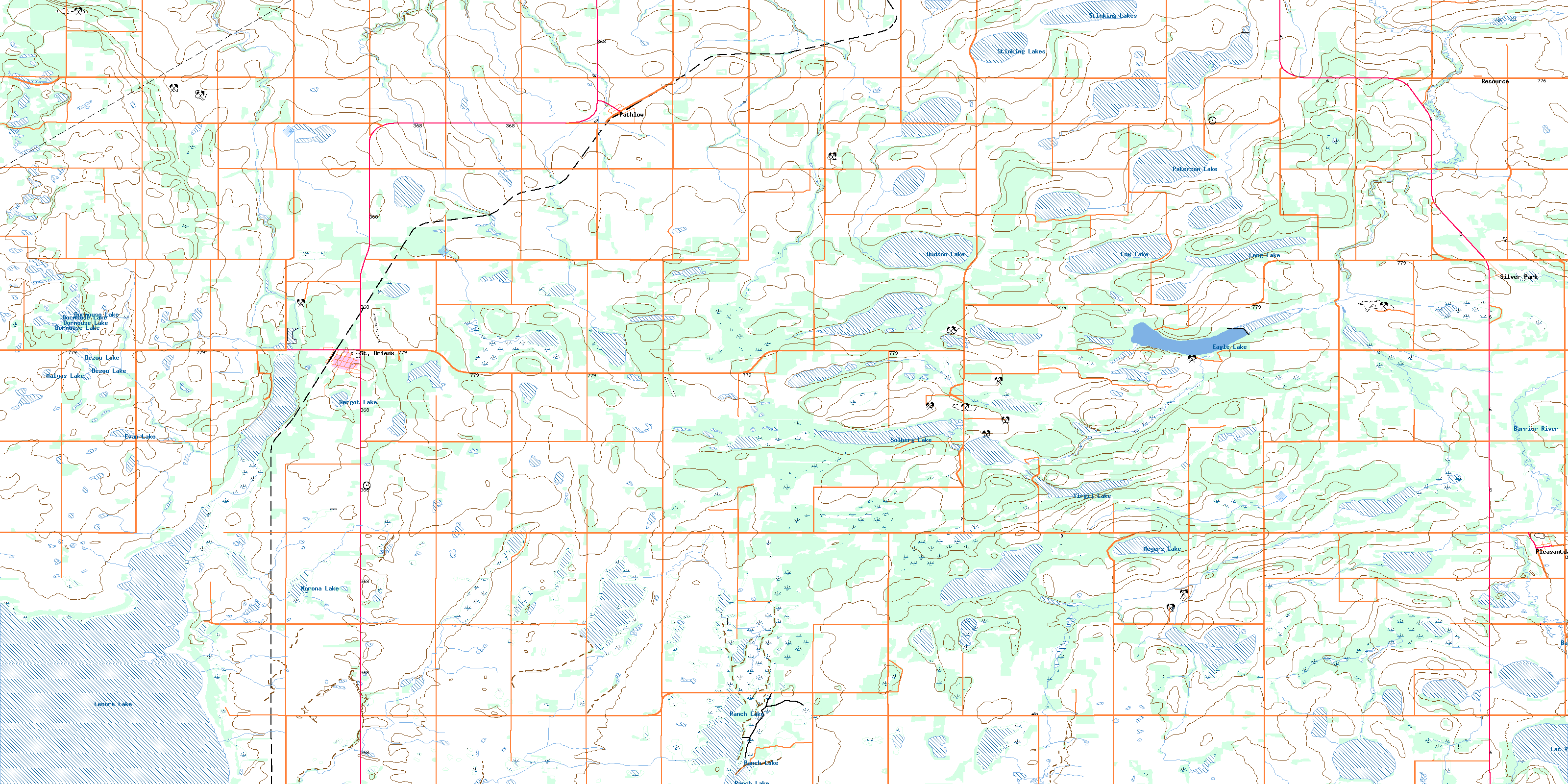
© Department of Natural Resources Canada. All rights reserved.
