Kavanagh Lake Topo Map Online
Download Free Topo Map Sheet 073P11 at 1:50,000 scale
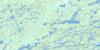
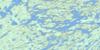
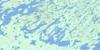
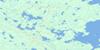
073P11 Kavanagh Lake Topo Map
To view this map, mouse over the map preview on the right.
You can also download this topo map for free:
073P11 Kavanagh Lake high-resolution topo map image.
Maps for the Kavanagh Lake topo map sheet 073P11 at 1:50,000 scale are also available in these versions:
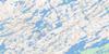
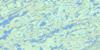
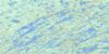
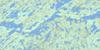
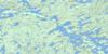
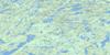
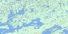
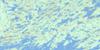
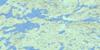
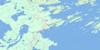
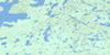
Kavanagh Lake Surrounding Area Topo Maps
 |
 |
 |
 |
 |
 |
 |
 |
 |
 |
 |
 |
 |
 |
 |
 |
© Department of Natural Resources Canada. All rights reserved.
Kavanagh Lake Gazetteer
The following places can be found on topographic map sheet 073P11 Kavanagh Lake:
Kavanagh Lake Topo Map: Bays
Bernaski BayByers Bay
Watson Bay
Kavanagh Lake Topo Map: Islands
Boyes IslandCraik Island
Wanahichewun Island
Kavanagh Lake Topo Map: Lakes
Barrowman LakeBartlett Lake
Beaudry Lake
Black Bear Island Lake
Borys Lake
Campbell Lake
Chobotuk Lake
Crew Lake
Easterby Lake
Ewert Lake
Faultine Lake
Figgitt Lake
Fitzpatrick Lake
Holman Lake
Kavanagh Lake
Kitchemonia Lake
Krakauer Lake
Little Crooked Lake
McGuigan Lake
McIntosh Lake
McMechan Lake
McMillan Lake
Mountney Lake
Neilson Lake
Nipew Lake
Ohanyank Lake
Peltier Lake
Polishak Lake
Rachkewich Lake
Renz Lake
Rithaler Lake
Rowe Lake
Shadd Lake
Stack Lake
Stapleford Lake
Stirling Lake
Stratton Lake
Stusiak Lake
Thornton Lake
Torrance Lake
Trout Lake
Watts Lake
Kavanagh Lake Topo Map: Rivers
Churchill RiverEagle River
Hood Creek
Rivière Churchill
White Fish River
Kavanagh Lake Topo Map: Road features
Birch PortageLittle Rock Portage
Rock Trout Portage
Trout Portage
Kavanagh Lake Topo Map: Unincorporated areas
Birch Rapids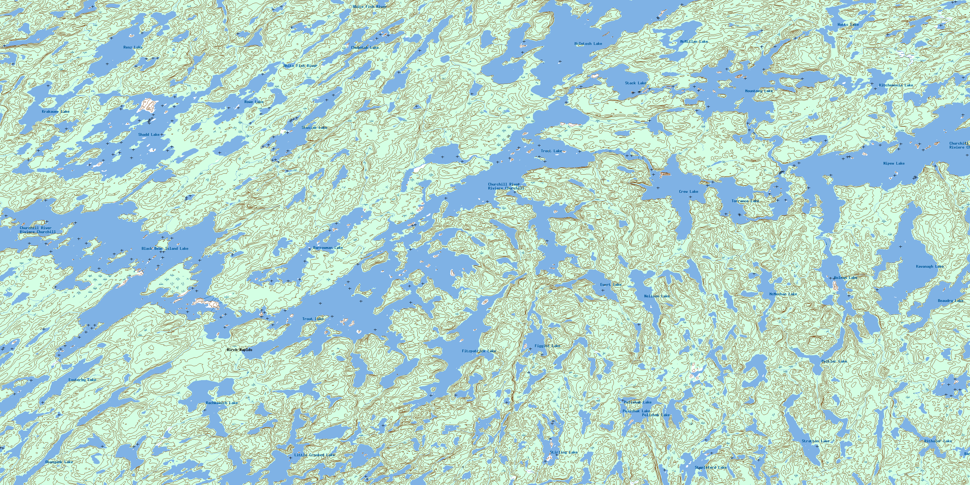
© Department of Natural Resources Canada. All rights reserved.
073P Related Maps:
073P Lac La Ronge073P01 Cartier Lake
073P02 Hunter Bay
073P03 La Ronge
073P04 Morin Lake
073P05 Morning Lake
073P06 Nemeiben Lake
073P07 Stanley Mission
073P08 Nistowiak Lake
073P09 Guncoat Bay
073P10 Otter Lake
073P11 Kavanagh Lake
073P12 Black Bear Island Lake
073P13 Eulas Lake
073P14 Mctavish Lake
073P15 Forbes Lake
073P16 Settee Lake
