Hunter Bay Topo Map Online
Download Free Topo Map Sheet 073P02 at 1:50,000 scale
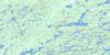
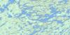
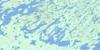
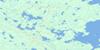
073P02 Hunter Bay Topo Map
To view this map, mouse over the map preview on the right.
You can also download this topo map for free:
073P02 Hunter Bay high-resolution topo map image.
Maps for the Hunter Bay topo map sheet 073P02 at 1:50,000 scale are also available in these versions:
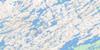
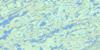
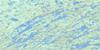
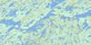
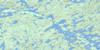
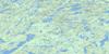
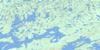
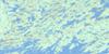
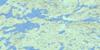
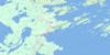
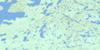
Hunter Bay Surrounding Area Topo Maps
 |
 |
 |
 |
 |
 |
 |
 |
 |
 |
 |
 |
 |
 |
 |
 |
© Department of Natural Resources Canada. All rights reserved.
Hunter Bay Gazetteer
The following places can be found on topographic map sheet 073P02 Hunter Bay:
Hunter Bay Topo Map: Bays
Abrams BayAdamson Bay
Bear Bay
Biology Bay
Campbell Bay
Hunter Bay
Mitchell Bay
Norm's Bay
Pothole Bay
Sinclair Bay
Suttill Bay
Vickar Bay
Wilde Bay
Hunter Bay Topo Map: Capes
Dunbar PointFox Point
Hail Point
Harbour Point
Ledingham Peninsula
McIntosh Peninsula
Meraste Point
Midge Point
Patterson Peninsula
Prod Point
Rock Point
Wolverine Point
Hunter Bay Topo Map: Channels
Crooked NarrowsEskimo Narrows
Hunter Narrows
Jackfish Narrows
Spearhead Channel
Stony Narrows
Trout Narrows
Hunter Bay Topo Map: Islands
Arrowhead IslandAshfield Island
Baby Gull Islands
Bag Island
Bay Island
Bayard Islands
Bear Island
Big Island
Black Island
Blondeau Island
Brebber Island
Bunn Island
Centre Island
Clarke Island
Cook Island
Cowan Island
Creighton Island
Dodds Island
Dot Island
Driscoll Island
Dunbar Island
Edna Island
Fennell Island
Fox Island
Grey-Noble Island
Halfburnt Island
Hillis Island
Hindmarsh Island
Hope Island
Houghton Island
Houseman Island
Hurl Island
Jack Island
Jones Island
Kiyanaw Island
Lanceley Island
Lone Tree Island
Long Island
Love Island
Lunch Island
Lussier Island
Macdonell Island
Makwa Island
Martin Island
McKenzie Island
Mid Island
Midge Islands
Milliken Island
Nelson Island
Orr Island
Percy Island
Peters Island
Pike Island
Pow Island
Procter Island
Quinlan Island
Rainy Island
Rowan Island
Rowe Island
Seaker Island
Spear Island
Spot Island
Staines Island
Stueck Island
Tait Island
Tent Island
Trippe Island
Two Islands
Whitley Island
Wilde Island
Wolf Island
Zimmer Island
Hunter Bay Topo Map: Lakes
Budd LakeCarey Lake
Colwell Lake
Coubrough Lake
Crich Lake
Dunajski Lake
Ellis Lake
Gosling Lake
Lac la Ronge
Powdrill Lake
Walen Lake
Weiss Lake
Hunter Bay Topo Map: Conservation areas
Lac la Ronge ParkLac La Ronge Provincial Park
Hunter Bay Topo Map: Rivers
Giles Creek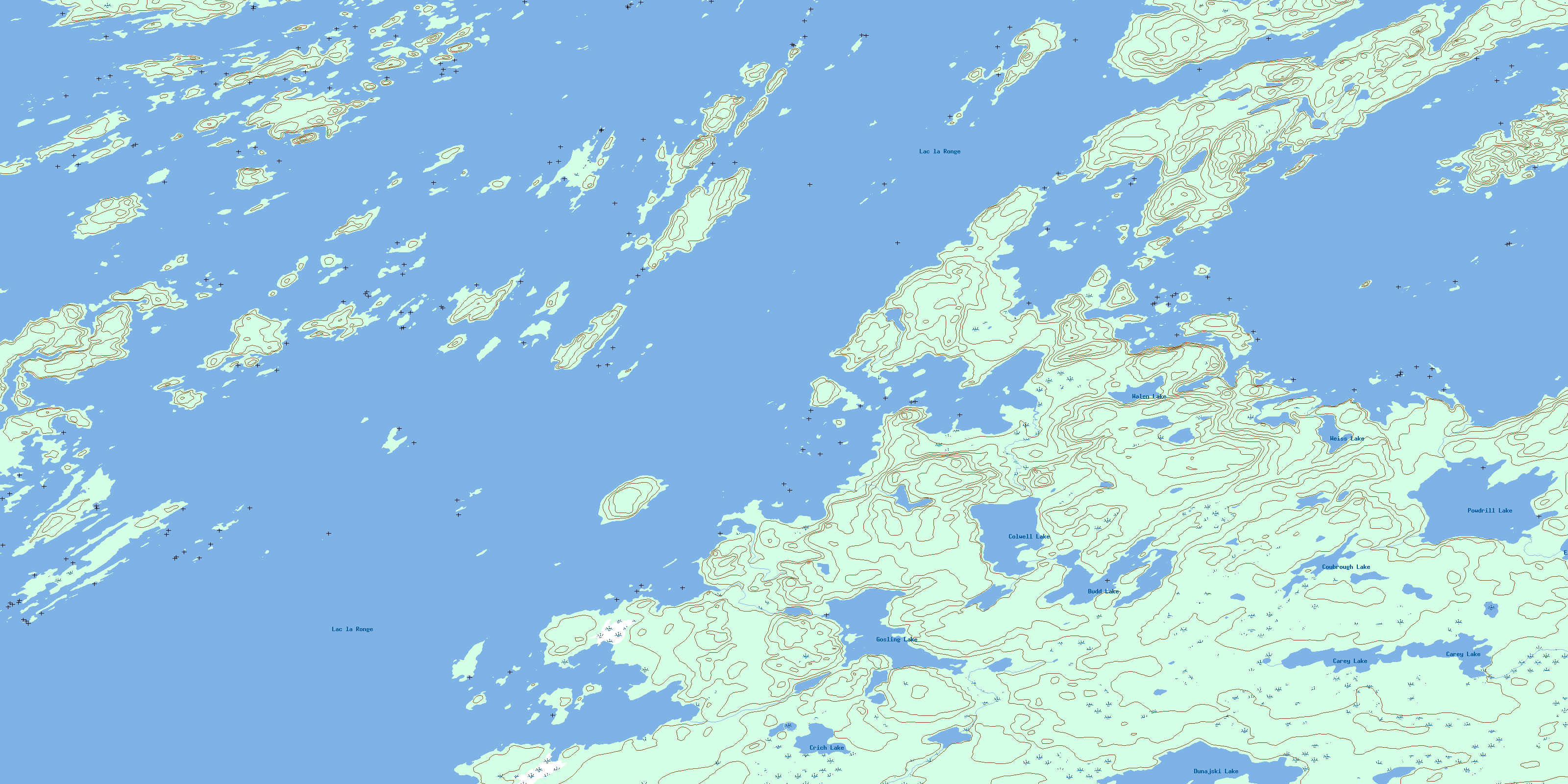
© Department of Natural Resources Canada. All rights reserved.
073P Related Maps:
073P Lac La Ronge073P01 Cartier Lake
073P02 Hunter Bay
073P03 La Ronge
073P04 Morin Lake
073P05 Morning Lake
073P06 Nemeiben Lake
073P07 Stanley Mission
073P08 Nistowiak Lake
073P09 Guncoat Bay
073P10 Otter Lake
073P11 Kavanagh Lake
073P12 Black Bear Island Lake
073P13 Eulas Lake
073P14 Mctavish Lake
073P15 Forbes Lake
073P16 Settee Lake
