Otter Lake Topo Map Online
Download Free Topo Map Sheet 073P10 at 1:50,000 scale
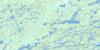
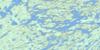
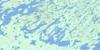
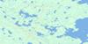
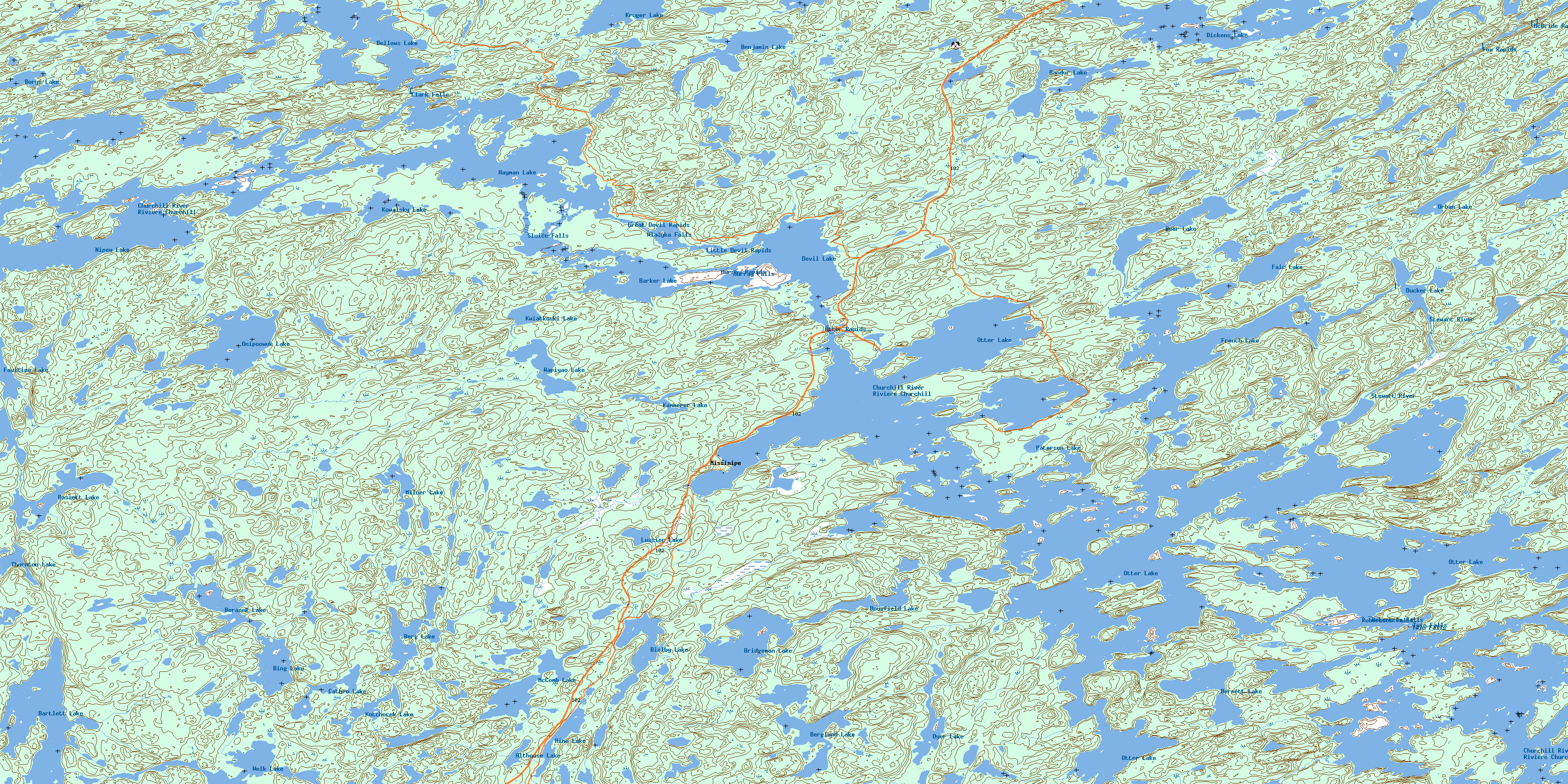
073P10 Otter Lake Topo Map
To view this map, mouse over the map preview on the right.
You can also download this topo map for free:
073P10 Otter Lake high-resolution topo map image.
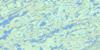
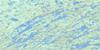
Maps for the Otter Lake topo map sheet 073P10 at 1:50,000 scale are also available in these versions:
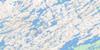
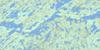
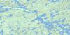
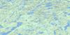
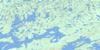
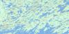
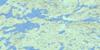
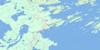
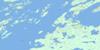
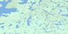
Otter Lake Surrounding Area Topo Maps
 |
 |
 |
 |
 |
 |
 |
 |
 |
 |
 |
 |
 |
 |
 |
 |
© Department of Natural Resources Canada. All rights reserved.
Otter Lake Gazetteer
The following places can be found on topographic map sheet 073P10 Otter Lake:
Otter Lake Topo Map: Bays
Allen BayBernaski Bay
Brooks Bay
Burgess Bay
Butler Bay
Early Bay
Frank Bay
Fraser Bay
Grandmother Bay
Johnson Bay
Labrecque Bay
MacKay Bay
Mason Bay
Merifield Bay
Neufeld Bay
Norris Bay
Rattler Bay
Rose Bay
Smith Bay
Walker Bay
Otter Lake Topo Map: Capes
Glover PeninsulaReid Peninsula
Selby Peninsula
Otter Lake Topo Map: Channels
Cow NarrowsGrandmother Narrows
MacDonald Channel
Moose Narrows
Otter Lake Topo Map: Falls
Clark FallsMurray Falls
Robertson Falls
Sluice Falls
Twin Falls
Wladyka Falls
Otter Lake Topo Map: Hamlets
MissinipeOtter Lake Topo Map: Indian Reserves
Grandmother's Bay 219Otter Lake Topo Map: Islands
Ball IslandBarker Island
Beck Island
Bennett Island
Biden Island
Boyes Island
Boyle Island
Champagne Island
Cow Island
Donaldson Island
Dunn Island
Edwards Island
Eyinew Island
Fletcher Island
Fogg Island
Gus Island
Isbister Island
Manitou Island
Muchaye Island
Naheyow Island
Neesokat Island
Paul Island
Pawistik Island
Sibbald Island
Sparks Island
Taylor Island
Twolake Island
Utie Island
Otter Lake Topo Map: Lakes
Althouse LakeBandur Lake
Barker Lake
Bartko Lake
Bartlett Lake
Bassett Lake
Bear Lake
Beaudry Lake
Bellows Lake
Benjamin Lake
Beranek Lake
Berg Lake
Bergland Lake
Bernett Lake
Bielby Lake
Bing Lake
Borys Lake
Bousfield Lake
Bridgeman Lake
Cathro Lake
Devil Lake
Dickens Lake
Ducker Lake
Dyer Lake
Esmay Lake
Fair Lake
Faultine Lake
French Lake
Gochagar Lake
Gross Lake
Harlton Lake
Haugen Lake
Hayman Lake
Hine Lake
Houston Lake
Kammerer Lake
Kotchorek Lake
Kowalsky Lake
Kruger Lake
Kwiatkoski Lake
Lussier Lake
McComb Lake
Milner Lake
Mountain Lake
Nipew Lake
Onipoowuk Lake
Orban Lake
Otter Lake
Paterson Lake
Stauffer Lake
Thornton Lake
Wapiyao Lake
Welk Lake
Otter Lake Topo Map: Conservation areas
Devil Lake Recreation SiteDickens Lake Recreation Site
Lac la Ronge Park
Otter Lake Topo Map: Rapids
Fox RapidsGreat Devil Rapids
Little Devil Rapids
McBride Rapids
Mosquito Rapids
Murray Rapids
Otter Rapids
Otter Lake Topo Map: Rivers
Burke CreekChurchill River
Hood Creek
Painter Creek
Raspberry Creek
Rattler Creek
Rivière Churchill
Stewart River
Turcotte Creek
Wheeler Creek
Woodhams Creek
Otter Lake Topo Map: Road features
Mountain PortageStony Mountain Portage
© Department of Natural Resources Canada. All rights reserved.
073P Related Maps:
073P Lac La Ronge073P01 Cartier Lake
073P02 Hunter Bay
073P03 La Ronge
073P04 Morin Lake
073P05 Morning Lake
073P06 Nemeiben Lake
073P07 Stanley Mission
073P08 Nistowiak Lake
073P09 Guncoat Bay
073P10 Otter Lake
073P11 Kavanagh Lake
073P12 Black Bear Island Lake
073P13 Eulas Lake
073P14 Mctavish Lake
073P15 Forbes Lake
073P16 Settee Lake
